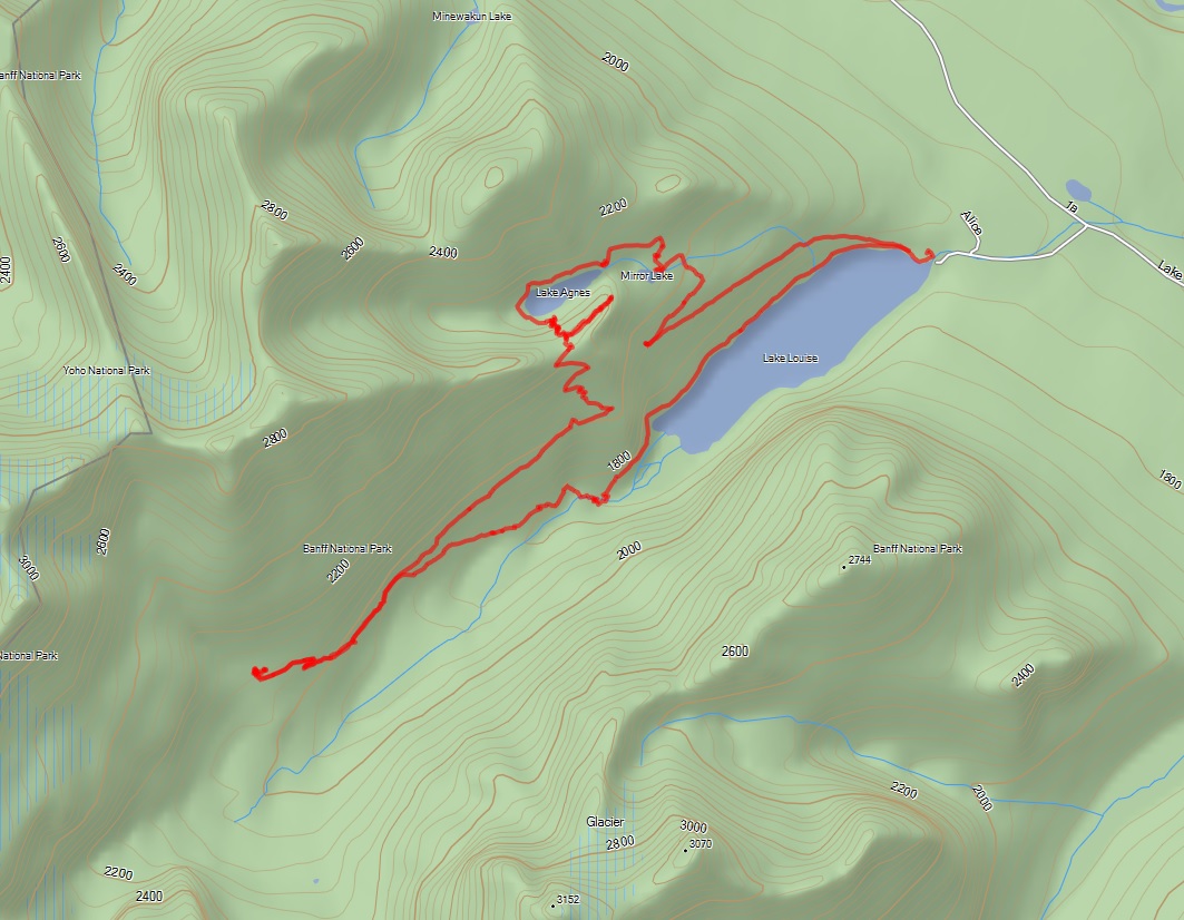
After returning home from our hike, I downloaded the hiking tracks from our GPS. Below are some maps of where we hiked.
I’ve posted our GPS track files here for anyone who wants to import them into their own device for route planning.
Below is our track overlaid on a topographic map of the area.
Here are the same tracks overlaid on a satellite photo of the area.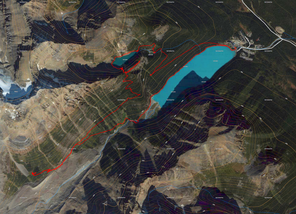
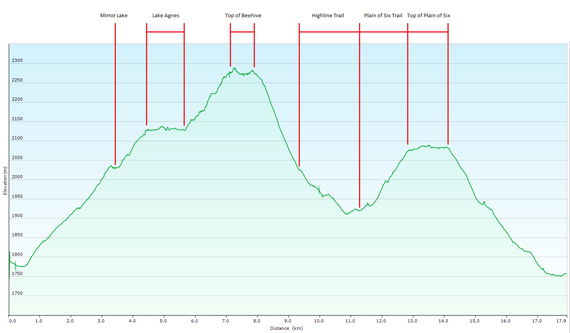
Below is an elevation plot of our hike. I’ve marked where we were at each section in the diagram. The highest elevation reached was 2,289 meters (7,509 ft), which was in the middle of the top of the Big Beehive. The lowest elevation was 1,750 meters (5,741 ft), which was at Lake Louise.
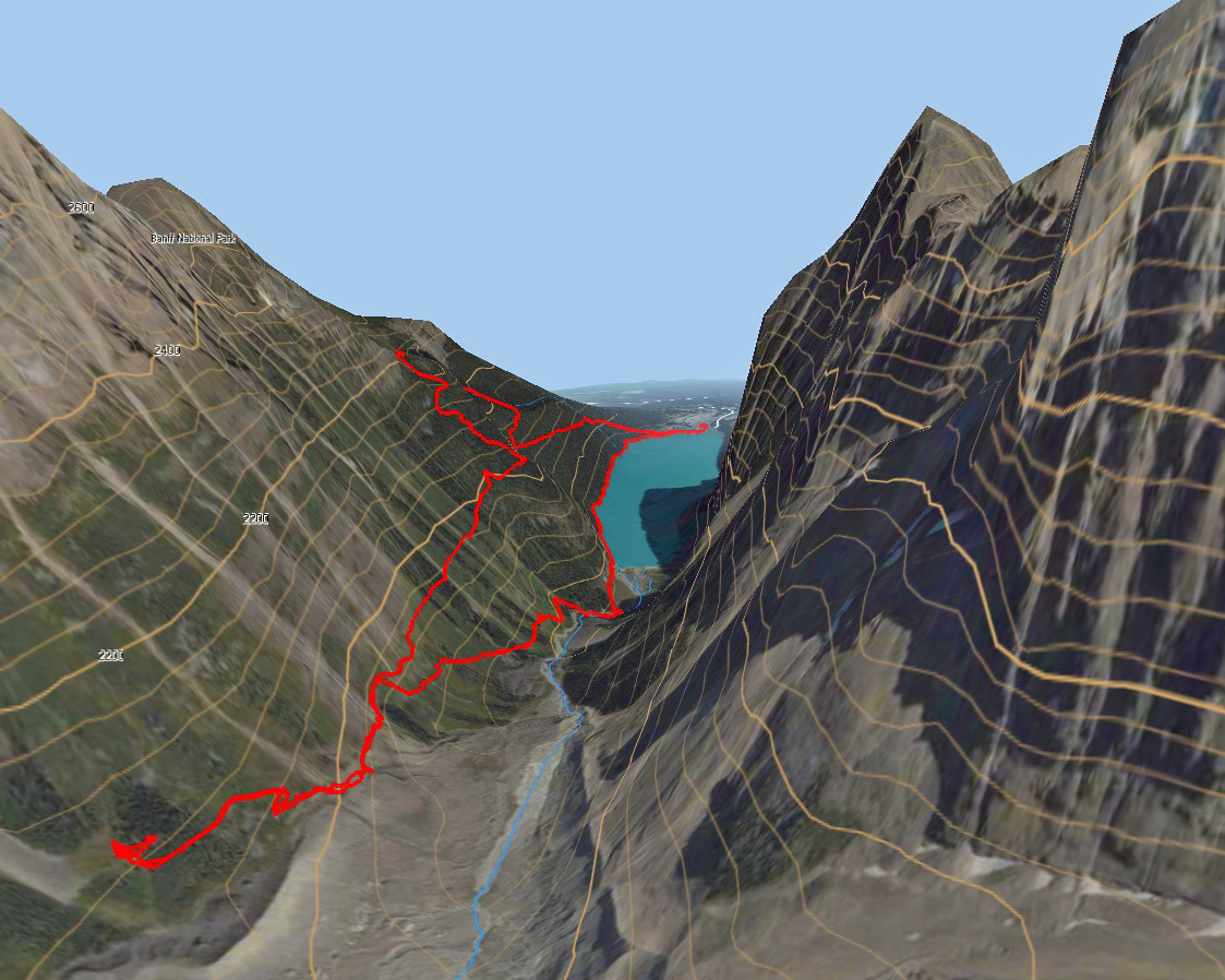
And just because I’m having fun playing with my navigation software, below is a 3D rendering of the satellite image, using the topographic map contours with our track overlaid. This shot is looking W SW from above and behind the Chateau Lake Louise.
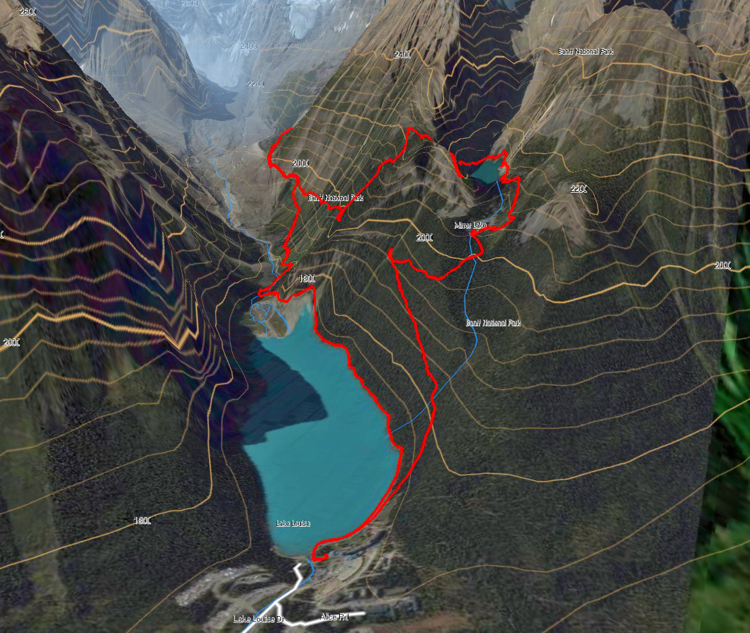
Here’s another 3D image, from the perspective of someone standing near the base of Mount Lefroy.
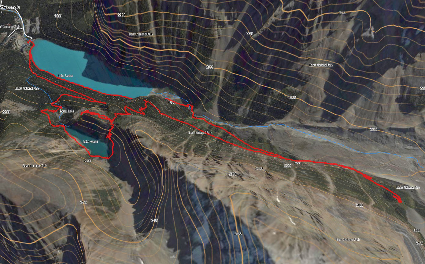
The image below is looking south from above Mt. Whyte. This image gives an interesting perspective, as you can see the trail gently contour up the mountain side above Lake Louise to Lake Agnes, then around the back of the lake and up the switchbacks to the Big Beehive. Before switch-backing back down the south slope to the Highline Trail, you can see the Devil’s Thumb protruding above. Flat maps just don’t do a great job of describing this hike.
If anyone is interested in any other perspectives of the area, send me a note or leave a comment and I’ll see what I can do.

Those are some really awesome illustrations/maps. It gives me a good idea of what we are in for if we do the hike next month. Thanks for posting.
Wow! You are terrific for providing such great and detailed information … it shows us exactly what to expect. I cannot wait to show my wife and boys the hike. Thanks so much!