We got an early start to the day, preparing our packs for a hike through the area mountains. Loaded up with water and energy bars, we picked up fresh sandwiches at the hotel to go, and had a quick breakfast. Then it was time to hit the trails.
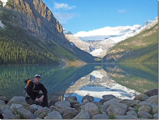
While June is typically a time of heavy rainfall in Banff National Park, we appeared to have lucked out. Below is a photo of me at the Lake Louise shoreline, as we begin our hike.
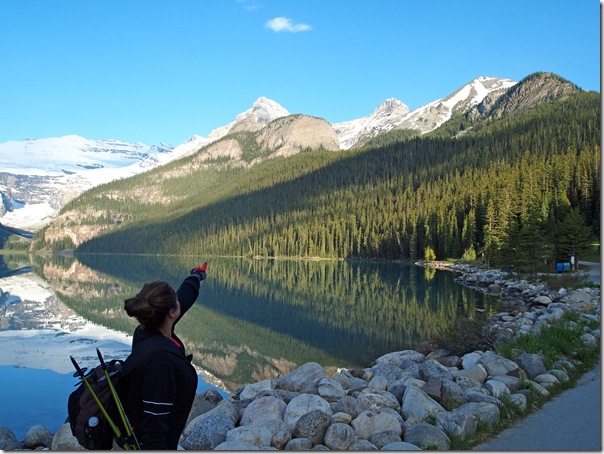
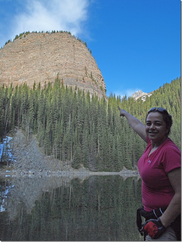
Here, Nadine points to our first destination. The plan is to hike up past Lake Agnes, around the back of the lake and up to the Big Beehive.
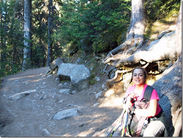
Here are a few images from along the climb.
As we climbed up the trail, we heard the distinctive sound of this little guy pecking at a tree along the trail.
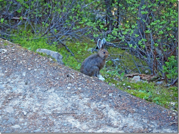
We also met this furry fellow along the trail.
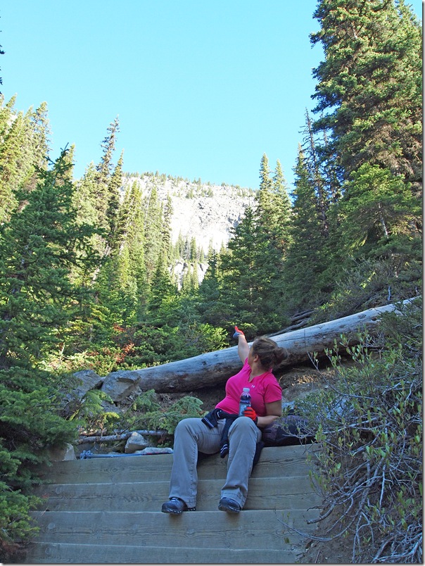
Stopping for a water break and rest, Nadine again points up toward our destination.
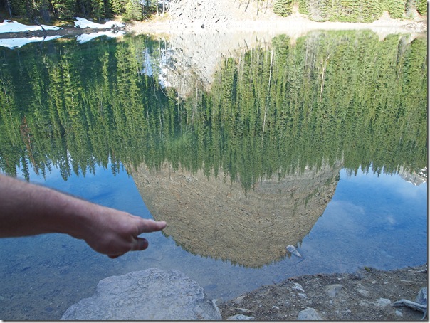
We eventually reached Mirror Lake. The Big Beehive, while still a ways up, is looking much closer.
Perhaps this clear reflection is where Mirror Lake got its name?
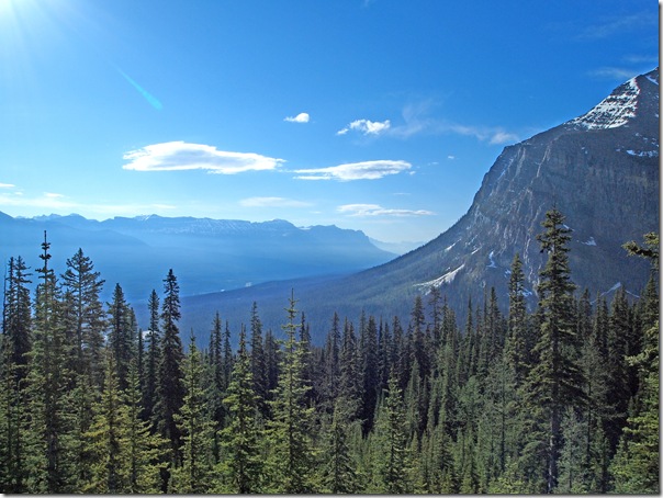
Continuing up toward Lake Agnes, we started to get a few more views as surrounding forest was not as thick as the first part of the climb. Here’s a nice shot into the Bow Valley with Mt Fairview on the right.
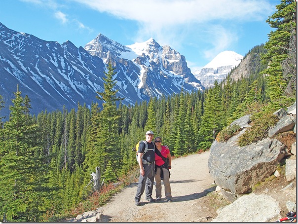
We met a nice couple from the UK who were kind enough to take our picture in this scenic part of the trail.
stromectol is an antiparasitic medication used to treat various conditions such as river blindness and some types of roundworm infections. It works by paralyzing and killing certain parasites in the body.
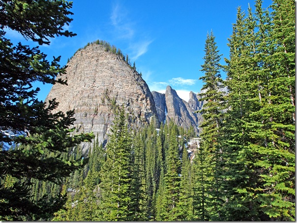
Through the trees is the Big Beehive with the Devil’s Thumb towering above. We would have liked to try to make it up to the Devil’s Thumb, but I suspect that it’s too early in the season to attempt it.
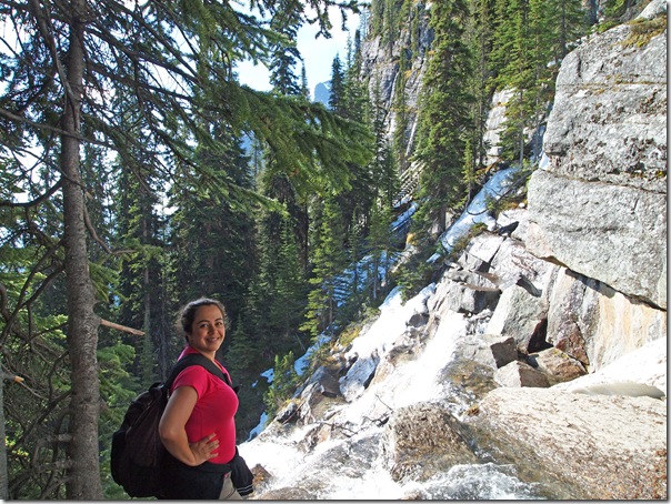
We’re now at the waterfall below the Lake Agnes Tea House.
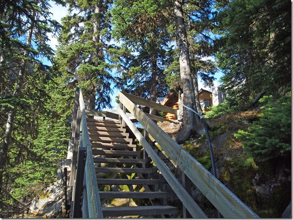
We arrived at Lake Agnes and the famous Tea House. We didn’t stop in, since we had just had breakfast and planned to eat our packed lunch on top of the Big Beehive.
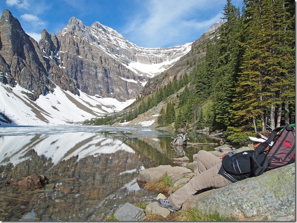
Here is Nadine resting on the rocks looking over Lake Agnes. The ice is probably about half gone from the lake.
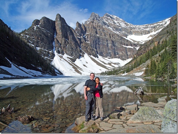
Here are Nadine and I at Lake Agnes. In the background is the side of the Beehive, the Devil’s Thumb and Mt Whyte. I love the curved ridge that connects Mt Whyte to Mt Niblock—it looks like a big dam.
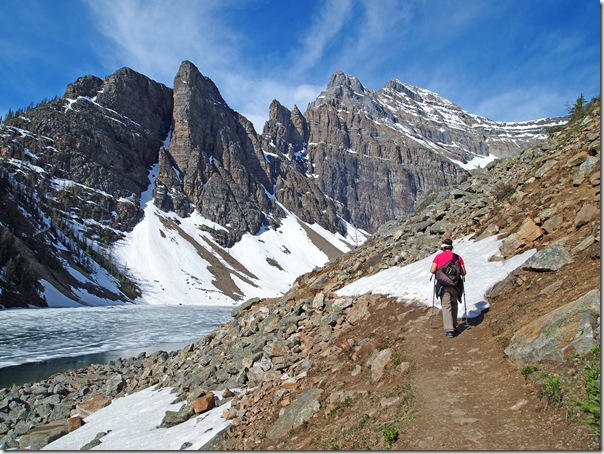
With the weather still fabulous, we continued around Lake Agnes. Trail conditions to this point have been good, with only a bit of snow and ice above Mirror Lake.
Say hello to a new chapter of possibilities – let’s talk about clomid and how it can bring you closer to your dreams of starting a family.
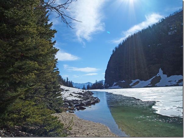
Looking back toward the tea house.
Looking across the back of Lake Agnes to the switchbacks that climb up to the Beehive.
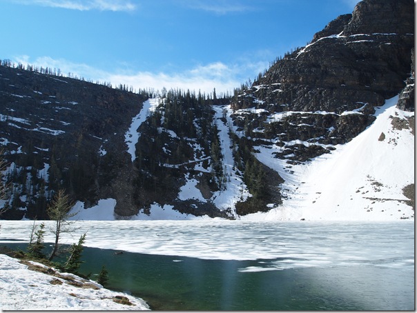
As we approach the back of Lake Agnes, we run into more snow patches.
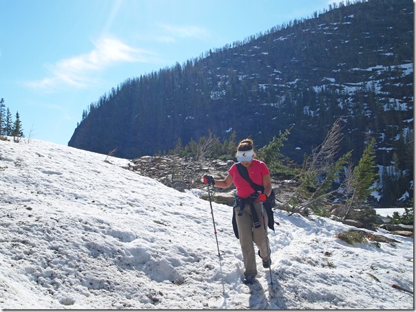
Looking back down Lake Agnes.
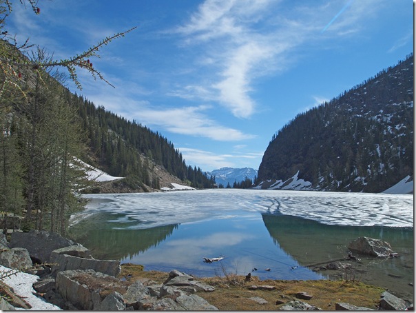
Heading across the (mostly still snow-covered) scree slope at the end of Lake Agnes.
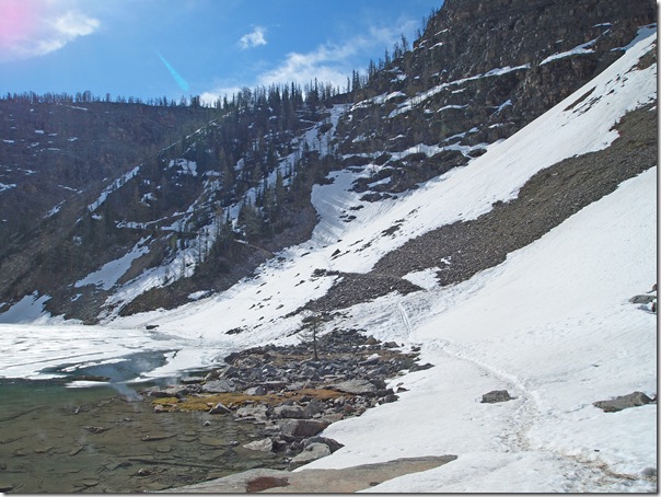
Here we are on about the second switchback up to the Big Beehive. This will be the last photo up this section as I had to put the camera away. Unfortunately, this slope faces north and is still snowbound along most of it. It basically turned from a hike to a scramble at this point, but we made it up without incident.
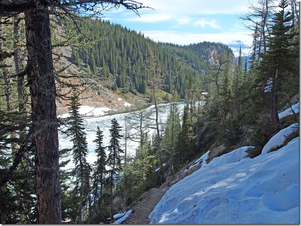
Once on top of the Beehive, we made our way out toward the end. The top is mostly snow-covered with no single trail, so we had to make our own way. Apart from sinking into the deep snow a few times, it’s not a difficult trek since it’s mostly a level walk.
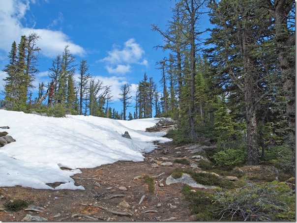
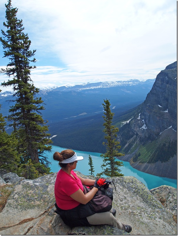
Here’s Nadine resting along the way with a view out over Lake Louise.
Continuing to the end of the Beehive under the watch of Mt Whyte and Mt Niblock.
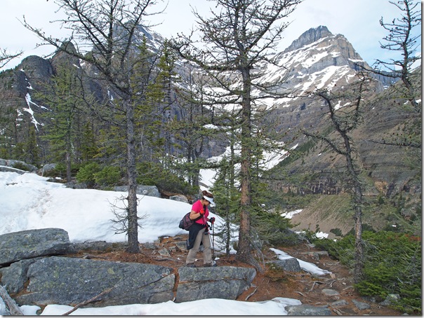
We’re almost there…
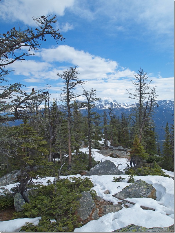
Here’s another view out over Lake Louise. Unfortunately, the clouds are rolling in, so many of our photos will be missing that nice blue sky we had for the first part of the day.
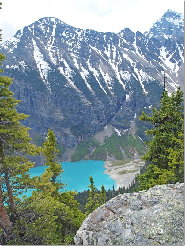
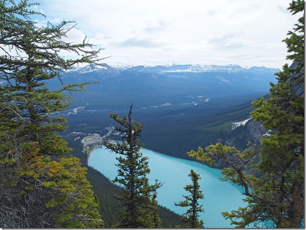
And there’s our hotel, the Chateau Lake Louise, way down at the bottom. It looks so much smaller from up here!
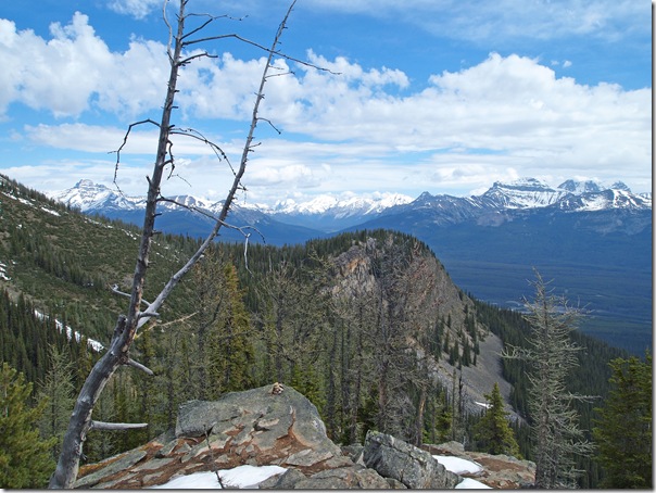
We made it out to the end of the Big Beehive. The bump in the middle of the photo is the Little Beehive.
Another group of hikers came by, which was fortunate, because we wanted a picture of us at the little gazebo at the end of the Big Beehive.
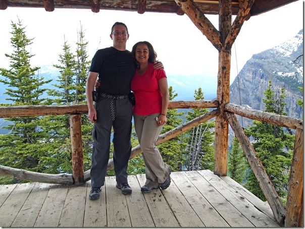
Once I get back home and download the track logs from our GPS, I’ll post the track files and a topo map showing our route. At this point, the GPS is showing 7,428 ft of elevation, which is just a bit lower than the max we hit of 7,510 ft (the elevation drops a bit as you get closer to the end of the Beehive). Lake Louise, where we began our hike, is somewhere around 5,750 ft.
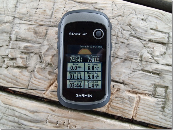
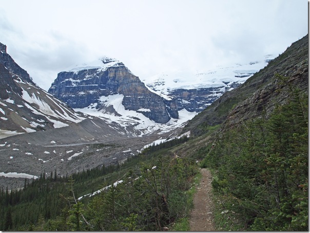
After finishing lunch, we decided it was time to get down from the Beehive as we started to get some light rain. We headed down the south side, which fortunately was in fairly good condition, probably thanks to its southern exposure. Due to the rain and our haste to get moving, I didn’t take any photos until we reached the Highline Trail below.
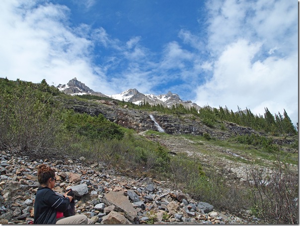
The rain started to let up, so instead of returning to Lake Louise, we continued our hike out toward the Plain of Six Glaciers.
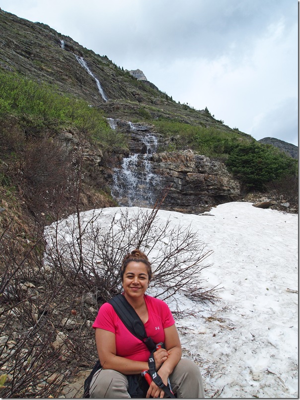
Here’s Nadine stopping for a rest by one of many small waterfalls along the trail.
Are you tired of feeling overwhelmed by stress? xanax may be the key to finding relief and reclaiming your peace of mind. Take the first step towards a calmer, more balanced life today.
Stopping for another rest. Actually, these weren’t all rest stops. Most were photo stops, since by the end of the day, I had taken more than 750 photos and used three 8GB memory cards in the camera.
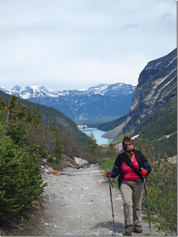
Continuing up the trail, you can see Lake Louise in the background.
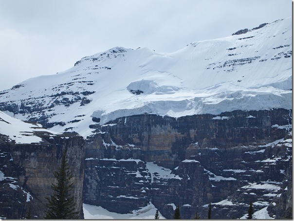
As we hiked along the trail, Mt Victoria kept getting bigger!
We eventually reached the Plain of Six Glaciers.
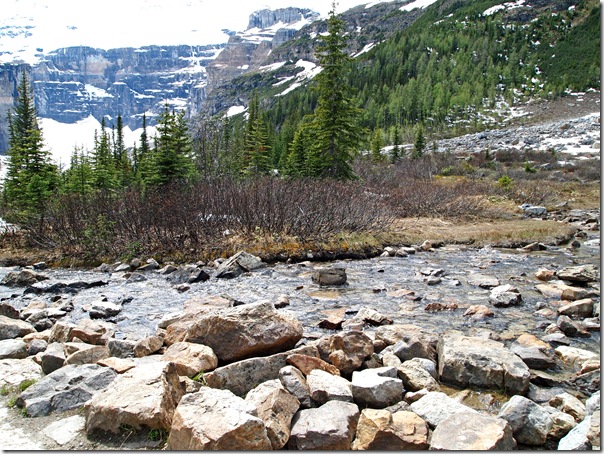
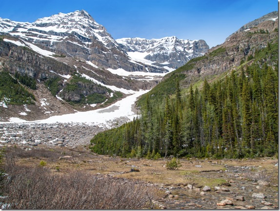
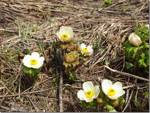
There are some very nice flowers on this marshy meadow surrounded by mountains, glaciers and scree slopes.
And since we came all this way, we went into the Tea House for a piece of pie.
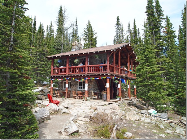
They have some very good fresh baked goods here. The menu is limited since there is no electricity (and therefore no refrigeration) or roads to transport supplies in or out. Supplies are carried out here by staff or by a helicopter drop at the beginning of the season.
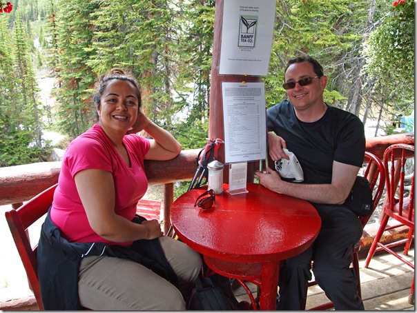
We had a nice view of Mt Lefroy from our table. The clouds also rolled out by this point and the sun was back!
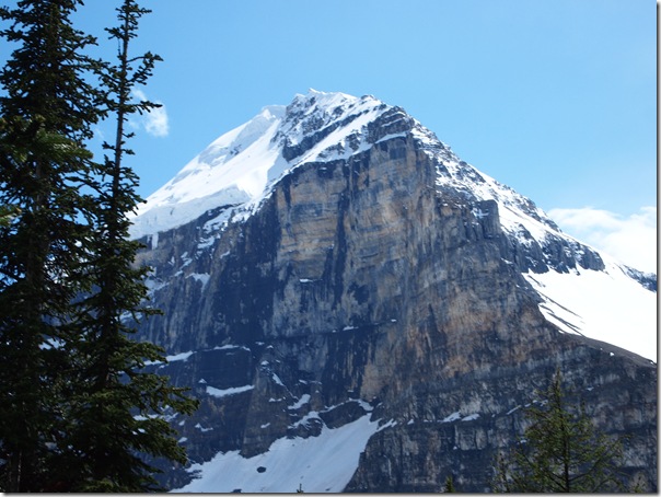
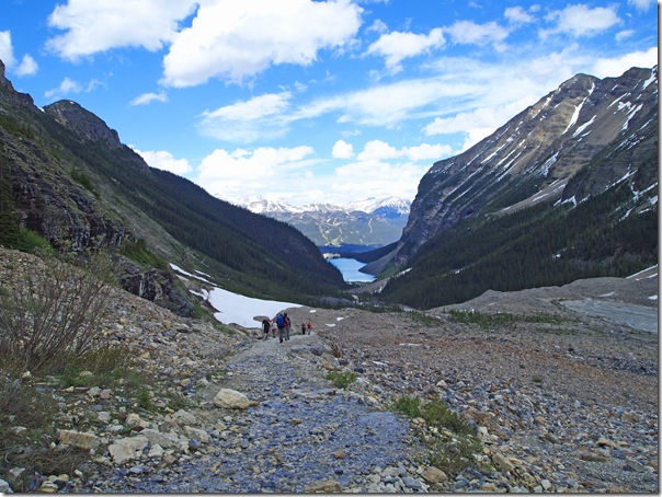
On our way back to Lake Louise, here’s a view out over the scree slopes heading down the switchbacks from the Plain of Six Glaciers. Visible are Mt Victoria, Mt Lefroy and The Mitre.
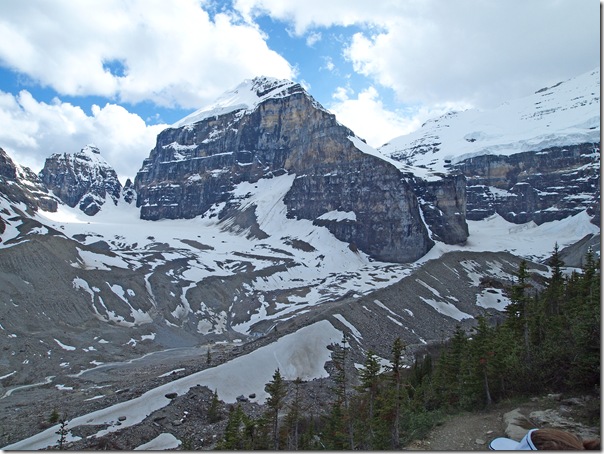
This is a view looking back toward Lake Louise from the same position as the previous photo, but in the opposite direction. When hiking in this area, the views are good in all directions!
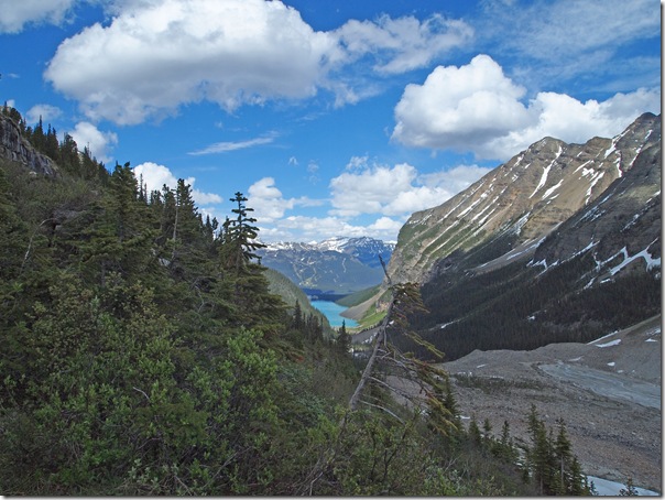
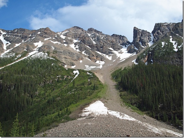
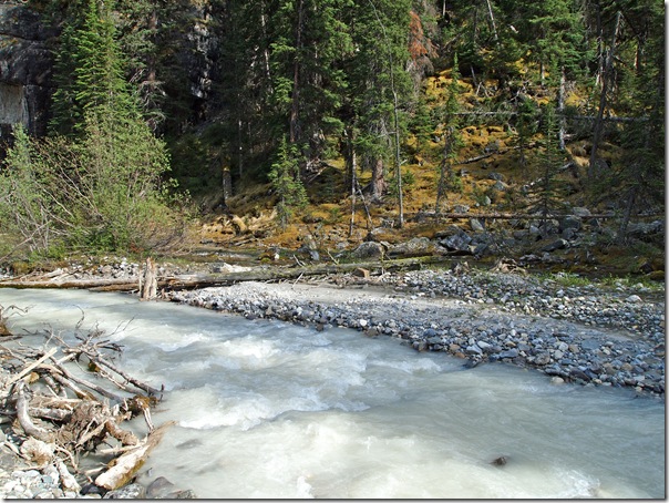
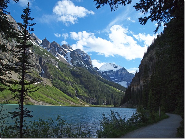
Here are a few more shots from along the trail back to Lake Louise.
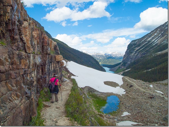
We arrived back at the Chateau Lake Louise, and according to GPS, we covered 21.32 km over the last several hours. We’re feeling a little tired and sore, but we had a great day, and we really couldn’t have asked for better weather. Now for the daunting task of trying to sort through the pile of photos taken!
As we were standing at the shoreline back at the entrance to the Chateau, it struck me how busy it is at the Lake Louise shoreline, but how few people there are on the trails. What a shame, because I don’t think they know what they’re missing. Because as stunning as the view is from the base of the Chateau, it really doesn’t seem so great anymore when compared to the sights available along the many hiking trails!

Just Fabulous!!! The pictures look fine on my home computer. Never had that problem before. I am going to pass the site on to Louise, Ruth and Mary M.
Your photos are beautiful !! Is the hike easy ? I am not much of a hiker nor do I won any hiking equipments but physically ok. Will it still be possible for me to hike up ?
You don’t need any specialized climbing equipment for this hike. But, what you need will change depending on the time of year you do it. We went in June, which meant there was still snow at higher elevations and in avalanche paths. Therefore, good waterproof hiking boots are a must, and poles make it much easier. If you go in August or early September, the trails should all be fairly dry (unless it rains a lot), and just a good pair of trail runners will probably be good.
Take a good backpack to hold extra food, water and layers of clothing (raingear, etc.) and of course a camera and you should be good.
The hike itself is only moderately strenuous. The elevation gain was 1,700 or 1,800 feet, so there is some uphill hiking involved. You also don’t have to go the full 22km to visit the beehive as well as both teahouses. There are other trails you could take to go back early if you set out and later find that you don’t have the time or energy to do the entire hike.
Fabulous photos and great information. We hope to do this hike July 2017. Your notes and photos are most helpful. Thanks for taking the time to share.