As luck would have it, we’ve got another sunny day! We awoke early, had breakfast, and headed out for what would be another full day.
We started by taking the familiar little train over to the cable car and down to Lauterbrunnen. From here, we transferred to a different train that took us up to Wengen, which is another car free village, but on the cliffs on the opposite side of the valley. Once at Kleine Scheidegg, we changed to a different train which would take us to the Jungfraujoch, which is basically a train station on a ridge at 11,371 feet between the mountains of Mönch and Jungfrau. It wasn’t quite as high as we were in Zermatt at the Glacier Paradise, but the feat of building a railway line (much of it in a tunnel) up to this point is very impressive.
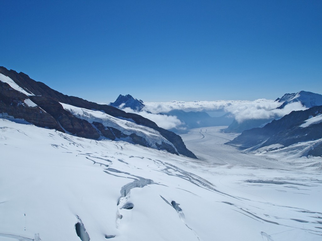
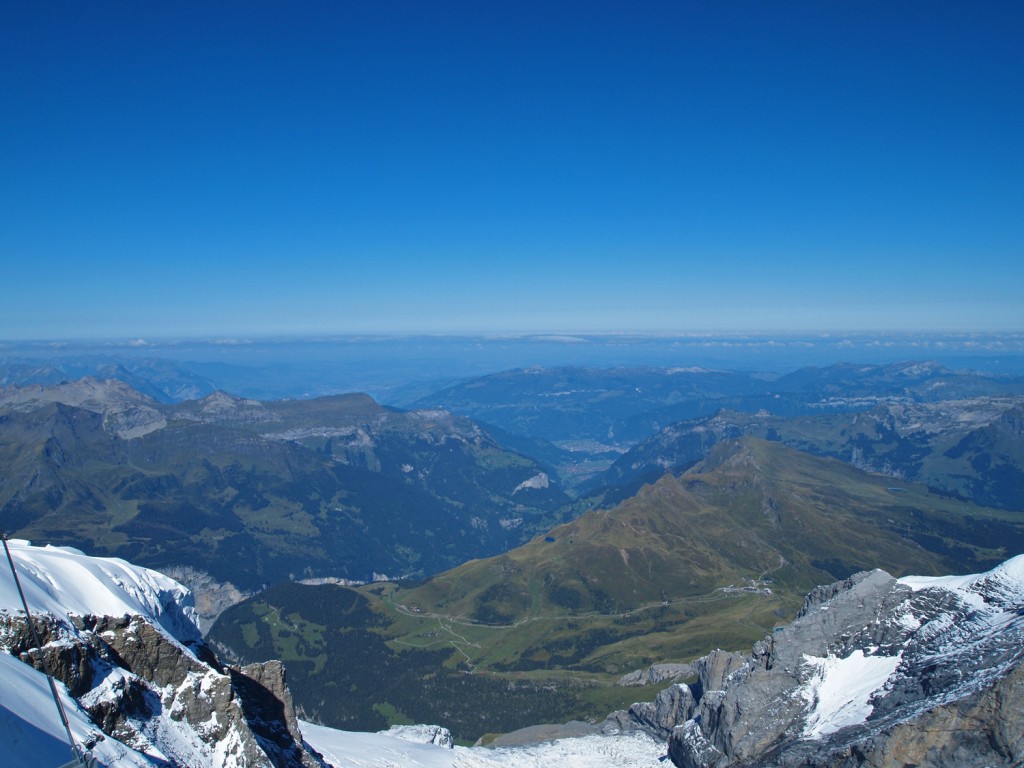
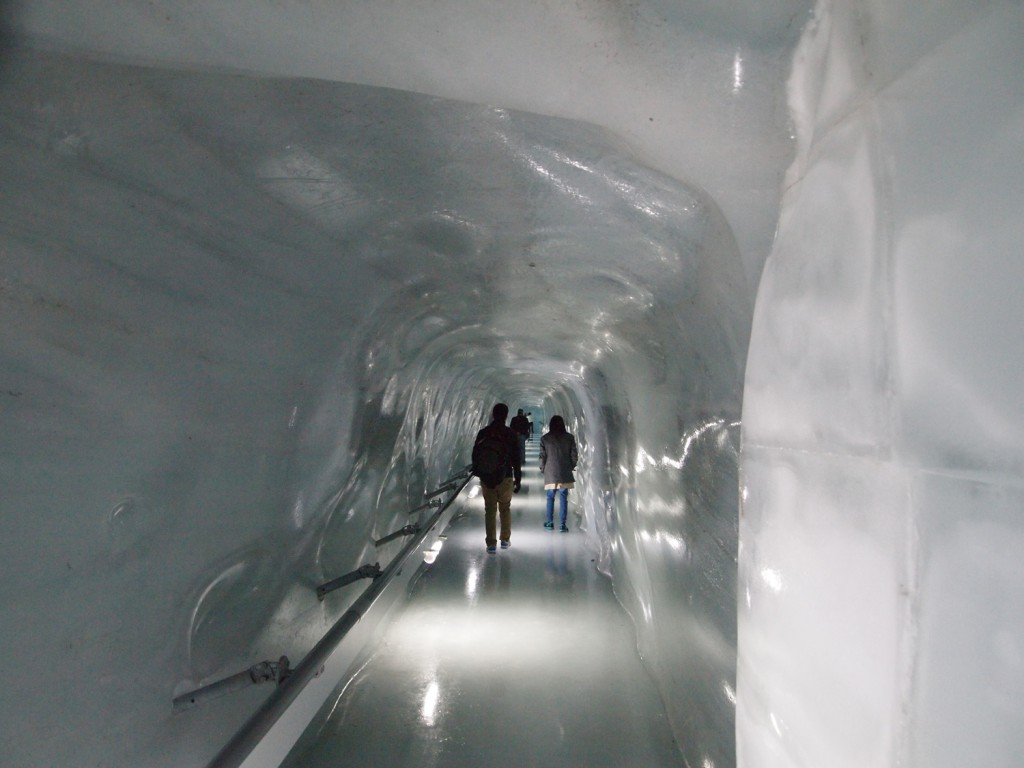
Like the Glacier Paradise in Zermatt, they also had some outdoor snow activities on the glacier, and also their own version of the ice palace carved out inside the glacier.
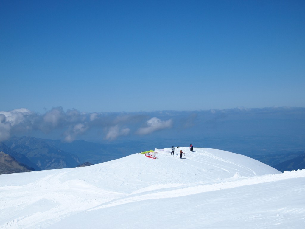
We even watched people paragliding off of the glacier down to the valleys below.
On our way back down, we got off of the train at the first stop outside of the tunnel, which was the Eigergletscher station, from where we would hike the Eiger Trail over to Alpiglen station. As usual, I had my GPS running, and here are our tracks.
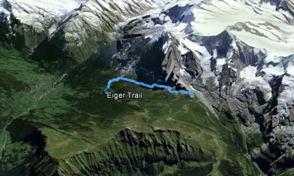
As you can see in the above satellite image, the trail basically follows the base of the Eiger north wall. Here we are at the start of the trail.
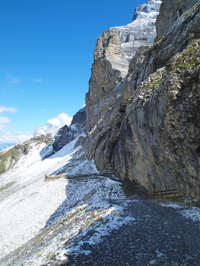
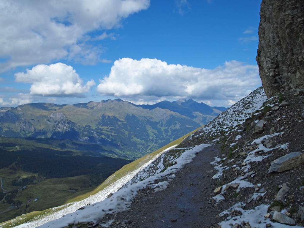
Here are some more photos from along the trail.
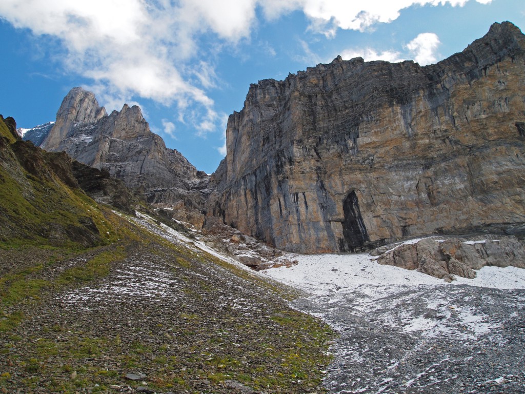
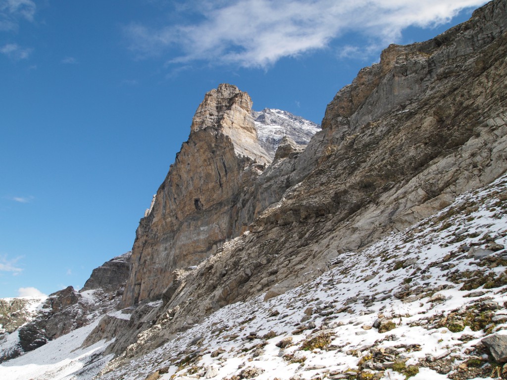
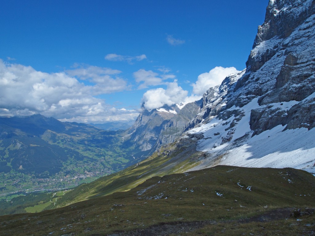
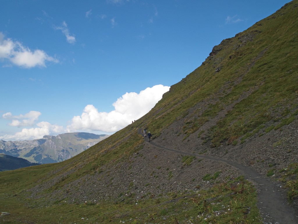
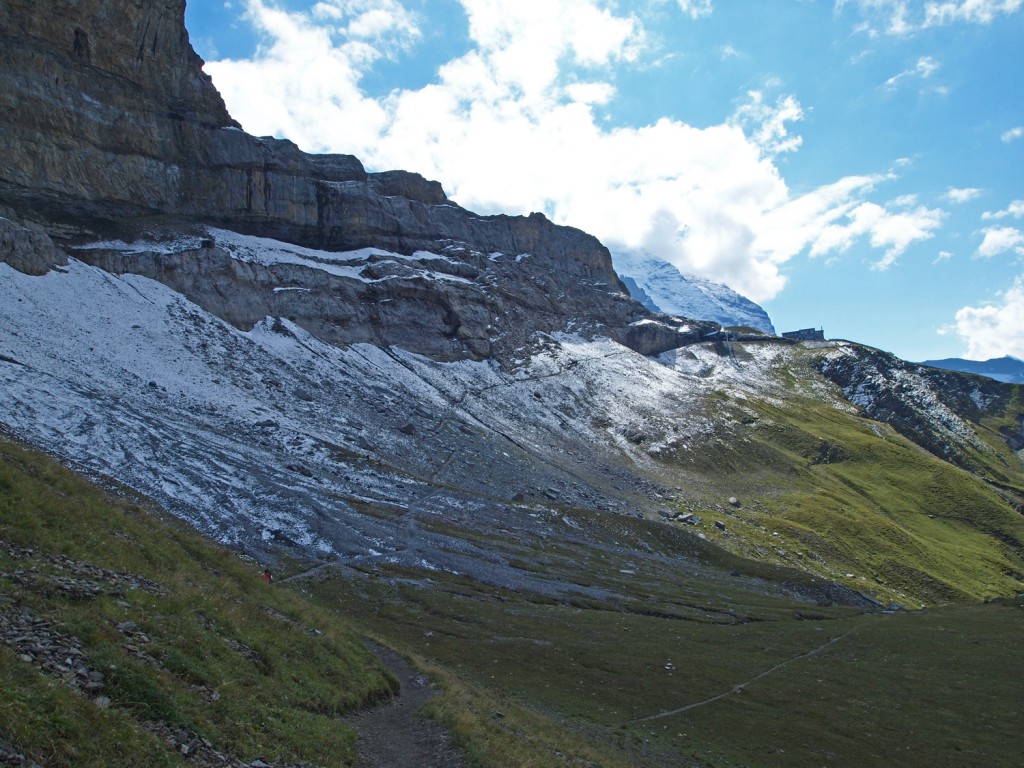
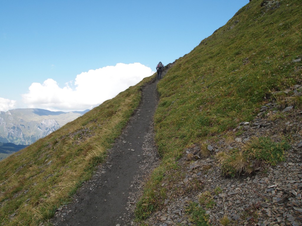
As we climbed lower, out of the snowy areas and into greener areas, we started to hear the sound of cowbells again, and came across a lot of cows near and even on the trail.
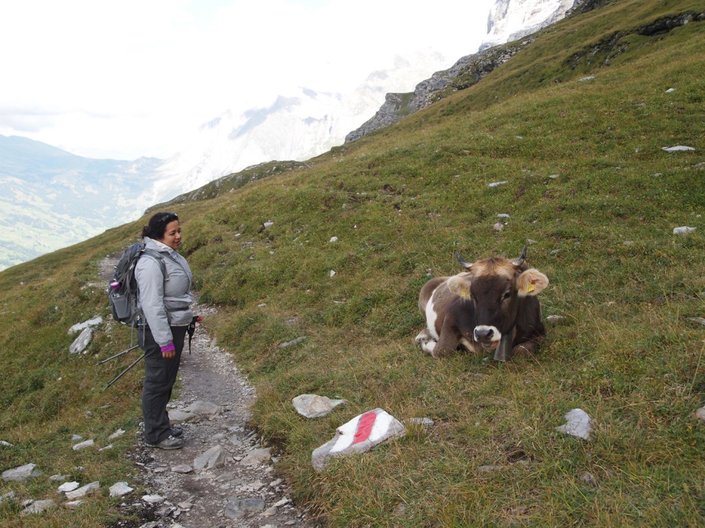
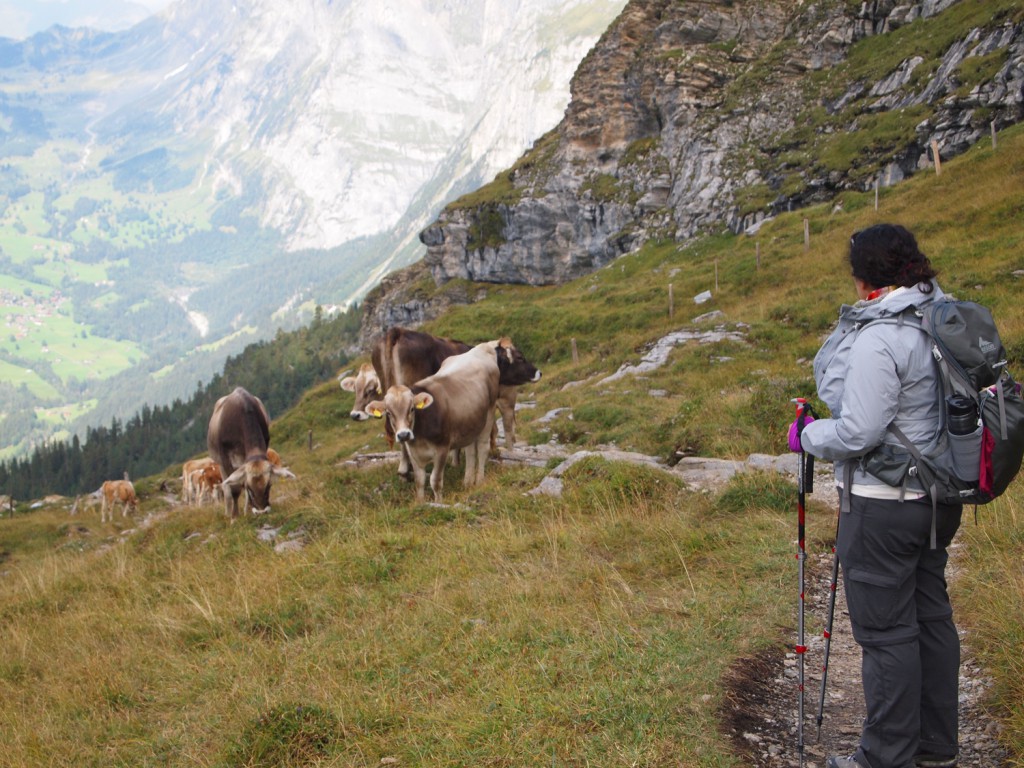
Here’s a short video of Nadine walking around a few cows blocking the trail. Note the sound of cowbells.
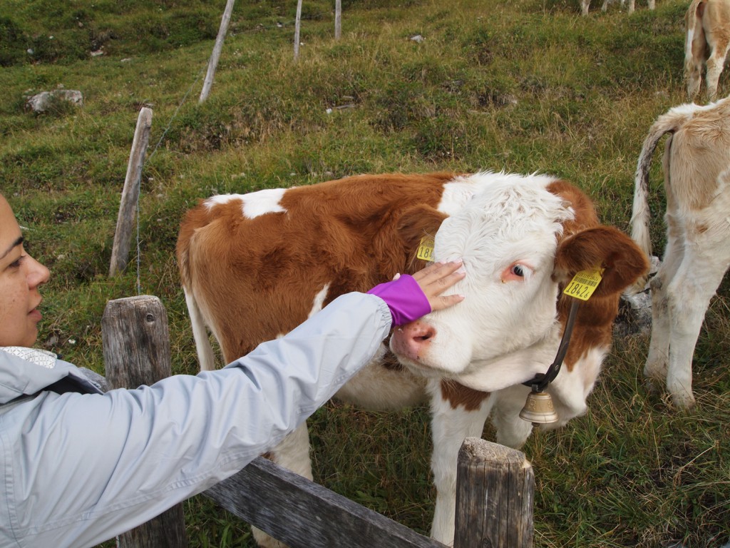
Some of the cows were very friendly, and came right up to us.
We continued our trek along the trail as some evening cloud started to roll in.
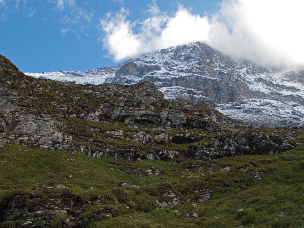
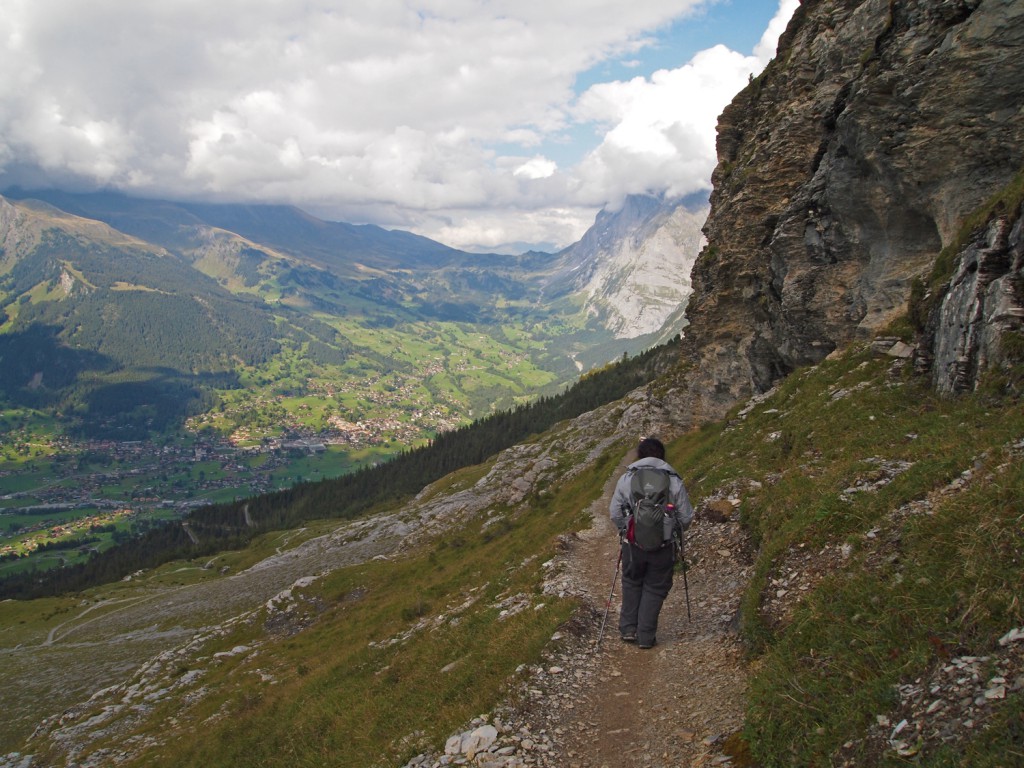
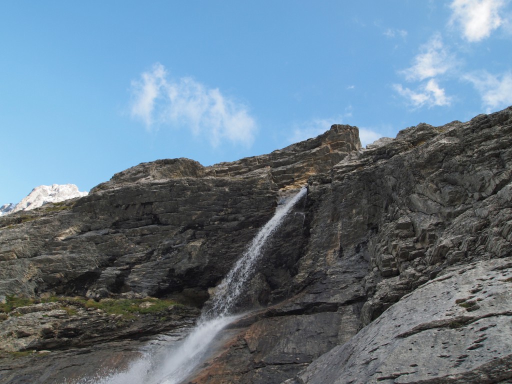
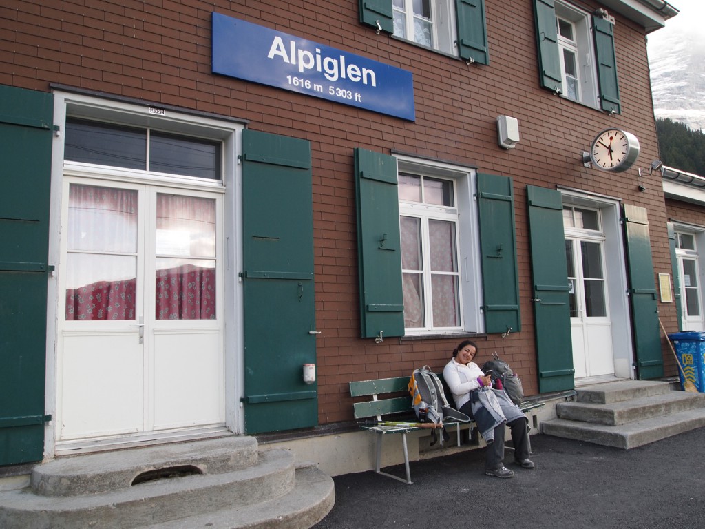
Eventually, we reached the railway station at Alpiglen, and waited to catch a train back toward Kleine Scheidegg, down to Lauterbrunnen through Wengen, and then back up to Murren.

Nice to read your trip report and see your photos. You appear to have had much better weather in Switzerland than we did, but then you were there much longer than we were as well. I liked your cool Swiss map on the itinerary page. Would you mind telling how you created it?
Thanks!!
I’m glad you enjoyed the report!
I created the itinerary map using a combination of Photoshop and MS Publisher. Photoshop to draw the route and destinations on top of a map of Switzerland, and then Publisher to assemble the overall document. Nothing too fancy.