We awoke this morning, looked out the window, and apparently we do have a view of the Matterhorn! The bad weather has apparently cleared; at least for now.
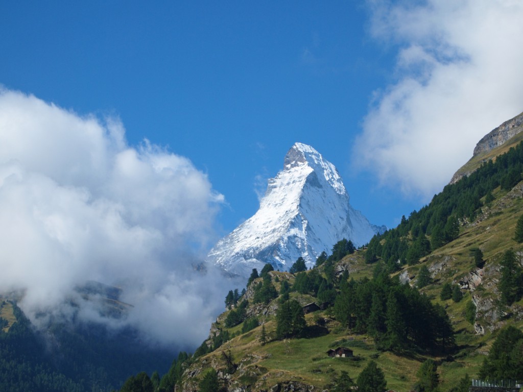
We had a nice breakfast, and got ready to go out hiking. The nice thing about hiking here, is that there are a lot of lifts to take you up into alpine areas from where to begin your hike. This is different than what I’m used to in Canada, where you might spend the first couple of hours, slogging through the trees for the first 1,000 feet of ascent before you get out of the forest to start enjoying the views. Of course, the downside of this accessibility, is that you do have to put up with a bit of unsightly lift infrastructure, and there is a bit more development around. I guess that’s a reasonable trade-off.
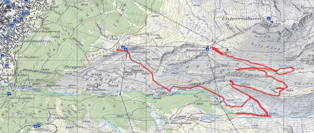
We took an underground funicular lift from Zermatt up to Sunnegga, and from there, took a gondola up to Blauherd, from where we began our hike. Our plan was to hike around to some of the alpine lakes in the area (which I suspect are damned up a bit to serve as ponds for snowmaking in the winter ski season), work our way back down to Sunnegga, and then take the funicular back down to Zermatt.
We didn’t have any electronic maps installed on my GPS, but I still had it running so I could keep a track of where we went. Below is our track overlaid on a topo map of the area.
Below is a graph of the elevation of the hike.
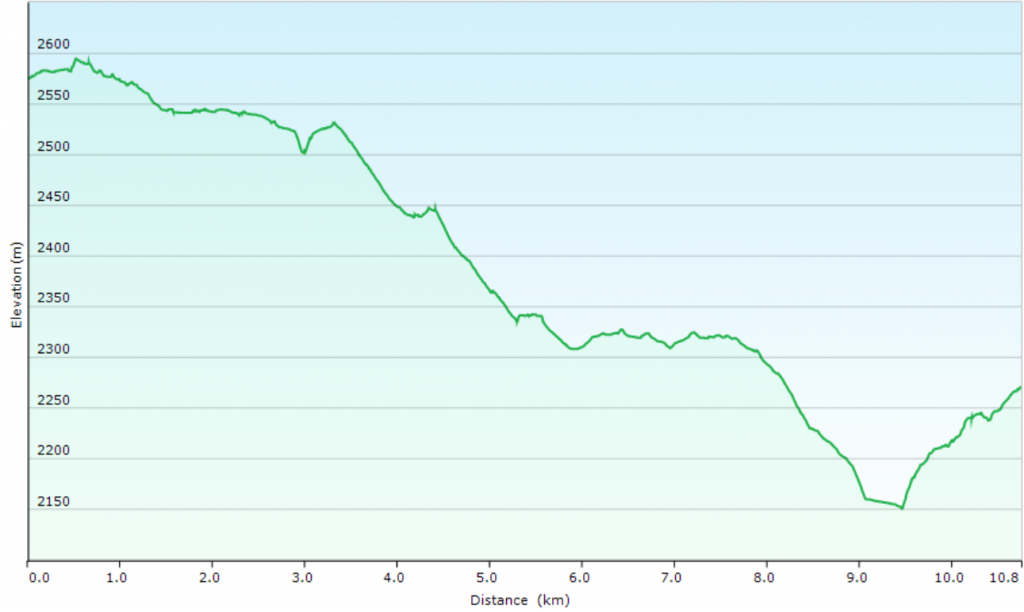
Maximum elevation reached was 2,595 metres and minimum was 2,151 metres, covering a total of 11.5 km with an average speed (when moving) of 4.0 km/h.
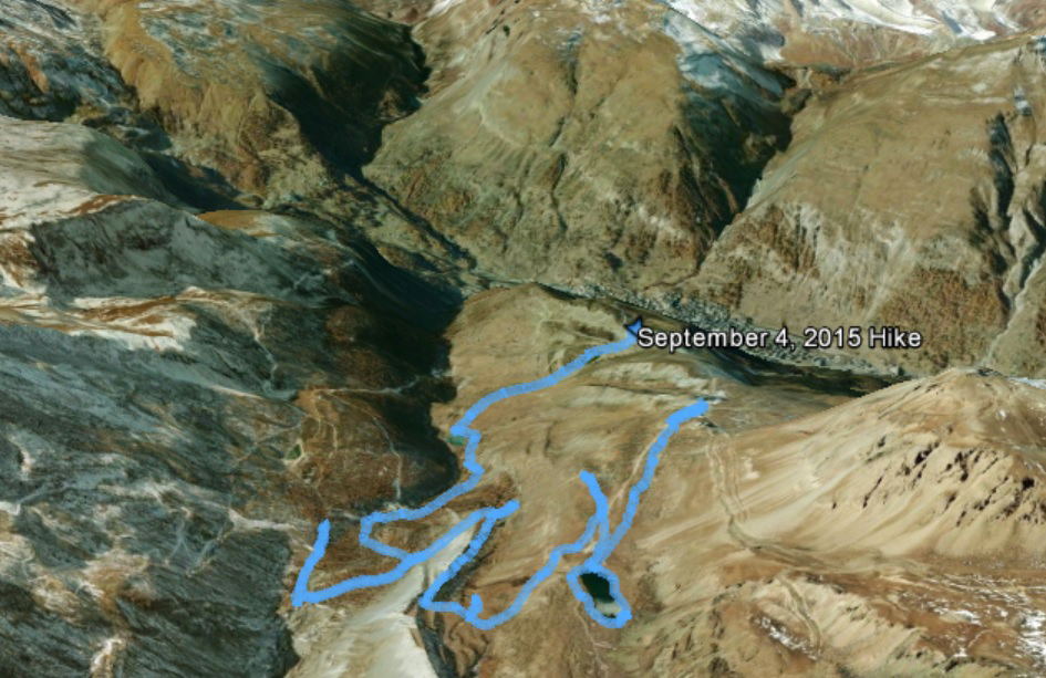
Here is what our hike looks like on Google Earth, oriented with the town of Zermatt at the top centre of the photo, and Matterhorn off to the upper left but outside of the image.
Here we are at the beginning of our hike, with the Matterhorn hiding slightly behind a small cloud.

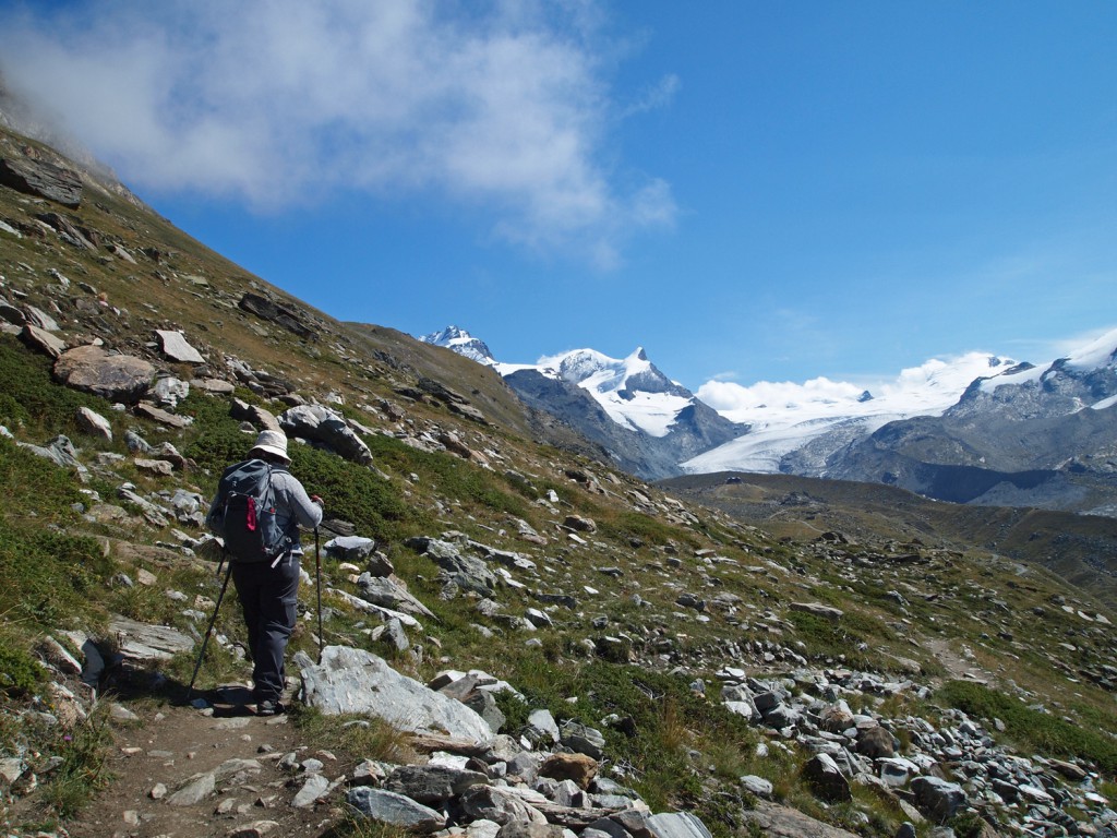
Nadine walking along the trail, heading east from Blauherd.
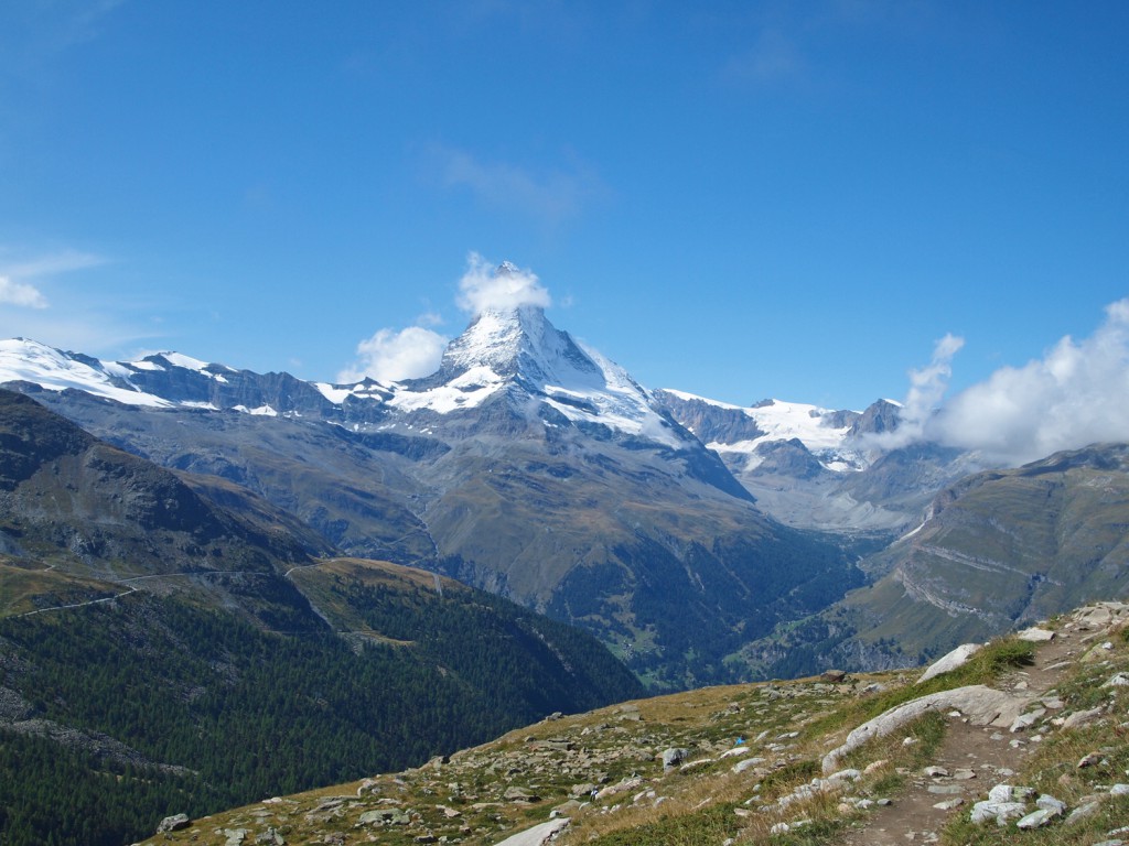
Looking back towards the Matterhorn…
Continuing along the hike…
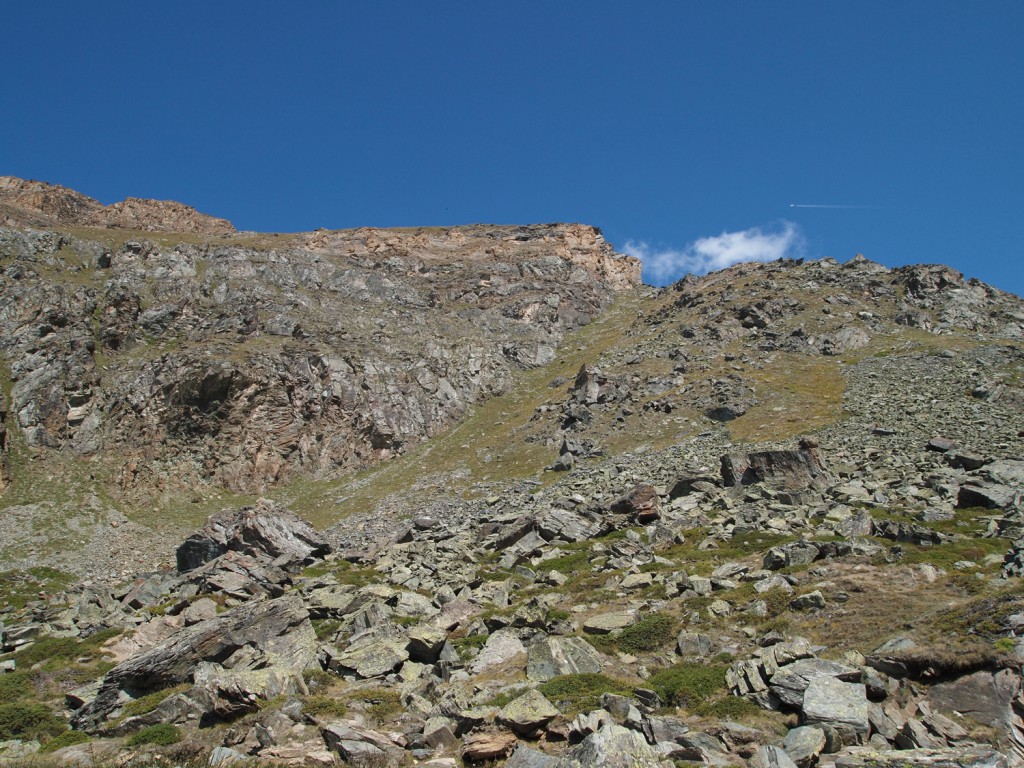
Looking up at the Rothorn above…
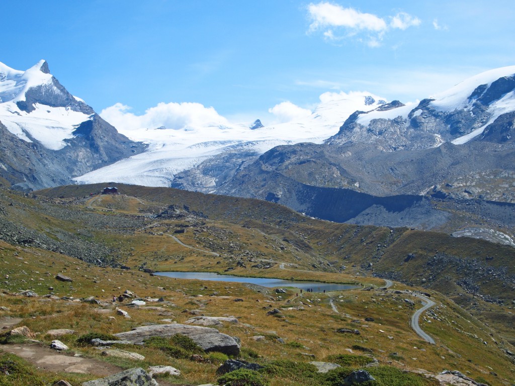
Arriving at Stellisee.
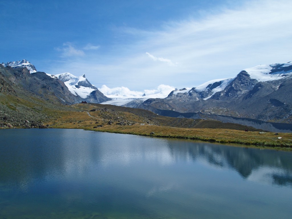
We stopped here to have a bite to eat at the end of the lake and relax in the stunning views!

Looking down at the Gant ski lift station from the trail on the cliff above.
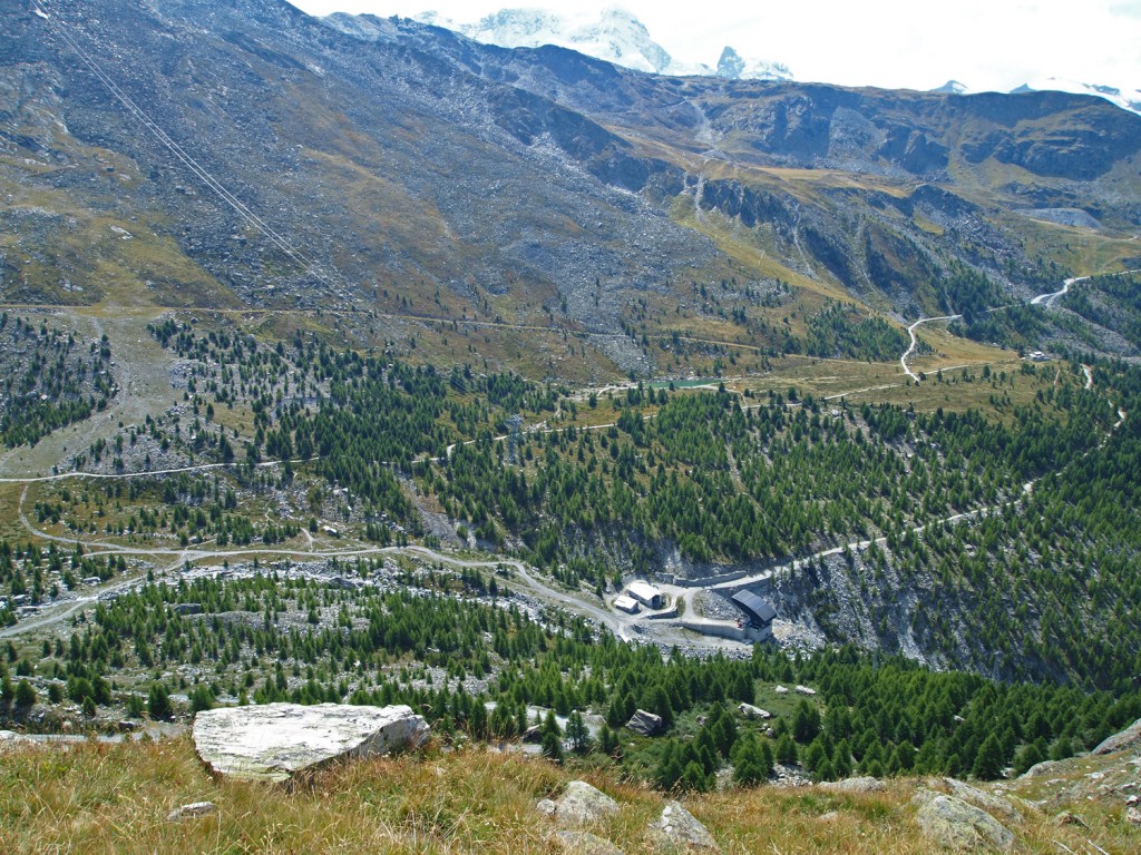
We stopped here for another rest, because it looked like a nice spot to take in the scenery.
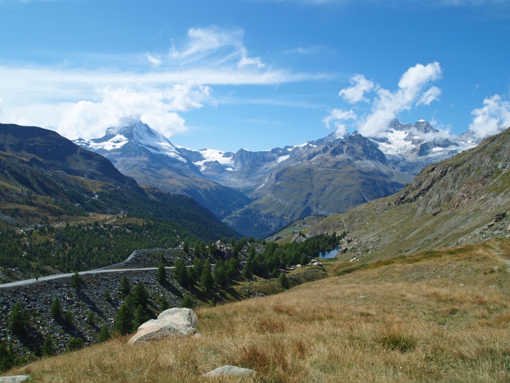
As we descended further, we started to see more and more trees around.
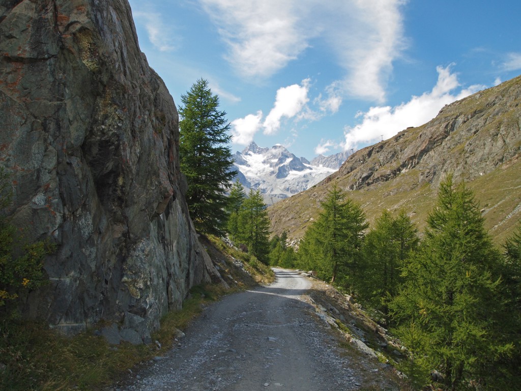
Here we are at Grindjisee.
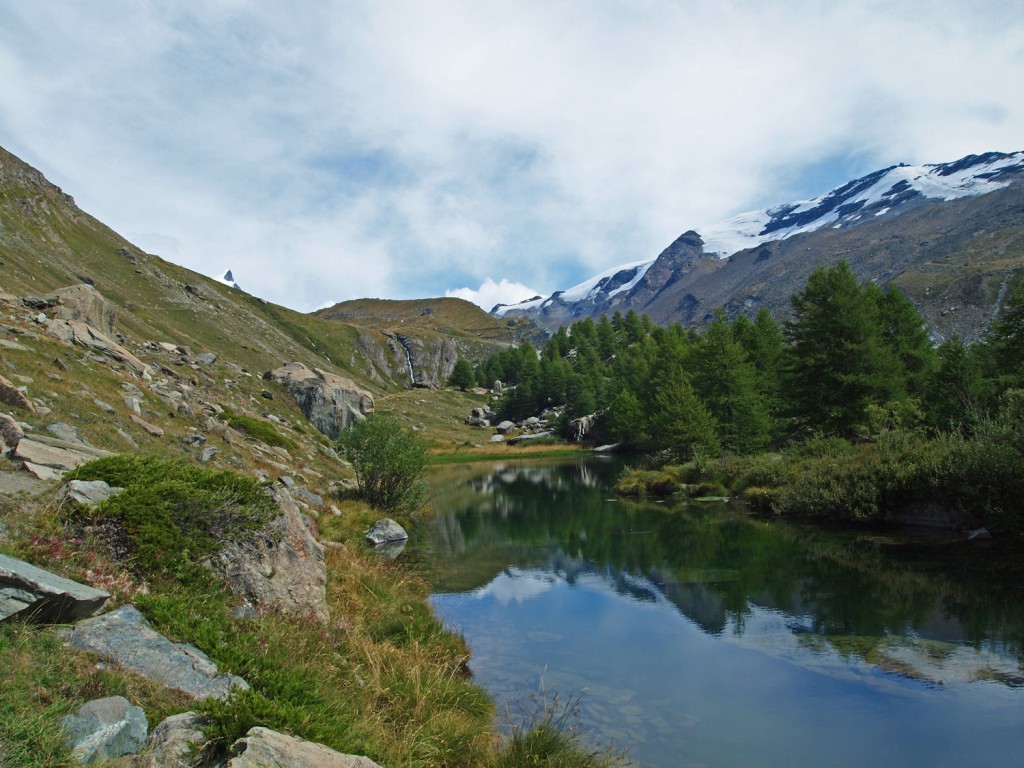
Continuing along the hike, the weather remains sunny, but that same light cloud still sits in front of the Matterhorn, which has been blocking a clear view of the iconic peak for much of the day.

On the way up the hill from Moosjisee toward Sunnegga, there was a lovely view over a small village with the Matterhorn in the background. Unfortunately, due to the time of day and the position of the sun, it was difficult getting a good photograph to do it justice, but here’s my best attempt.

On the final stretch toward Leisee and Sunnegga…
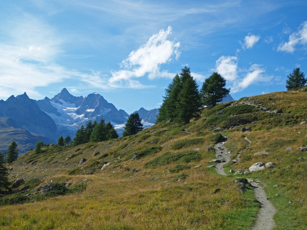

Back at Sunnegga, we caught the train back to Zermatt.
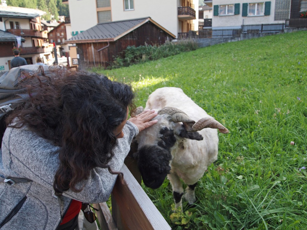
Along the walk back to the hotel, Nadine found a new friend eating grass in a local yard.
Back at the hotel, we got cleaned up from our hike, and headed down to the spa to relax in the hot pools before having a nice late dinner at the hotel.
