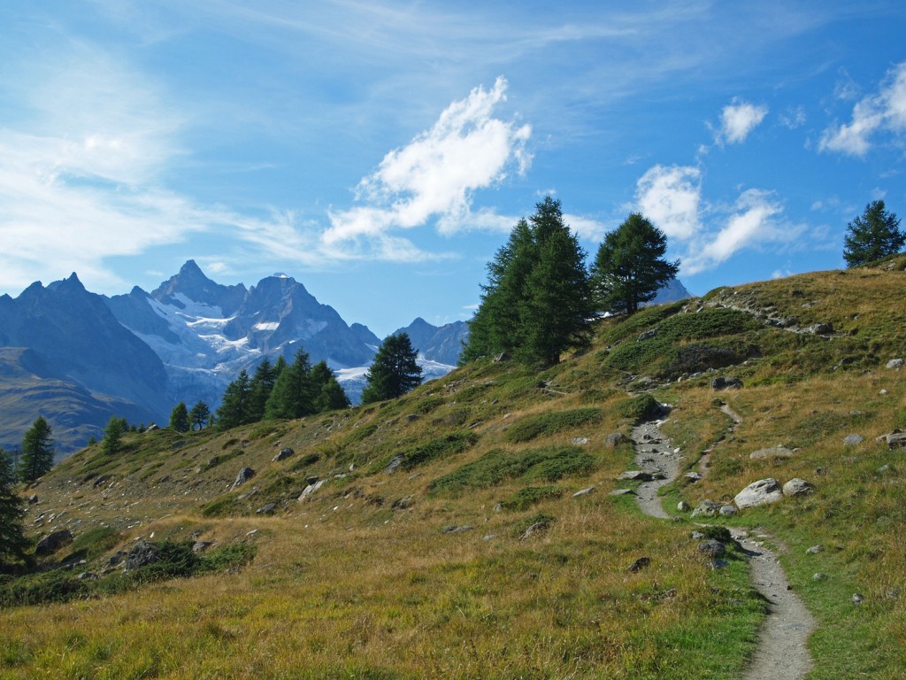
Day 9 – Zermatt and then Mürren

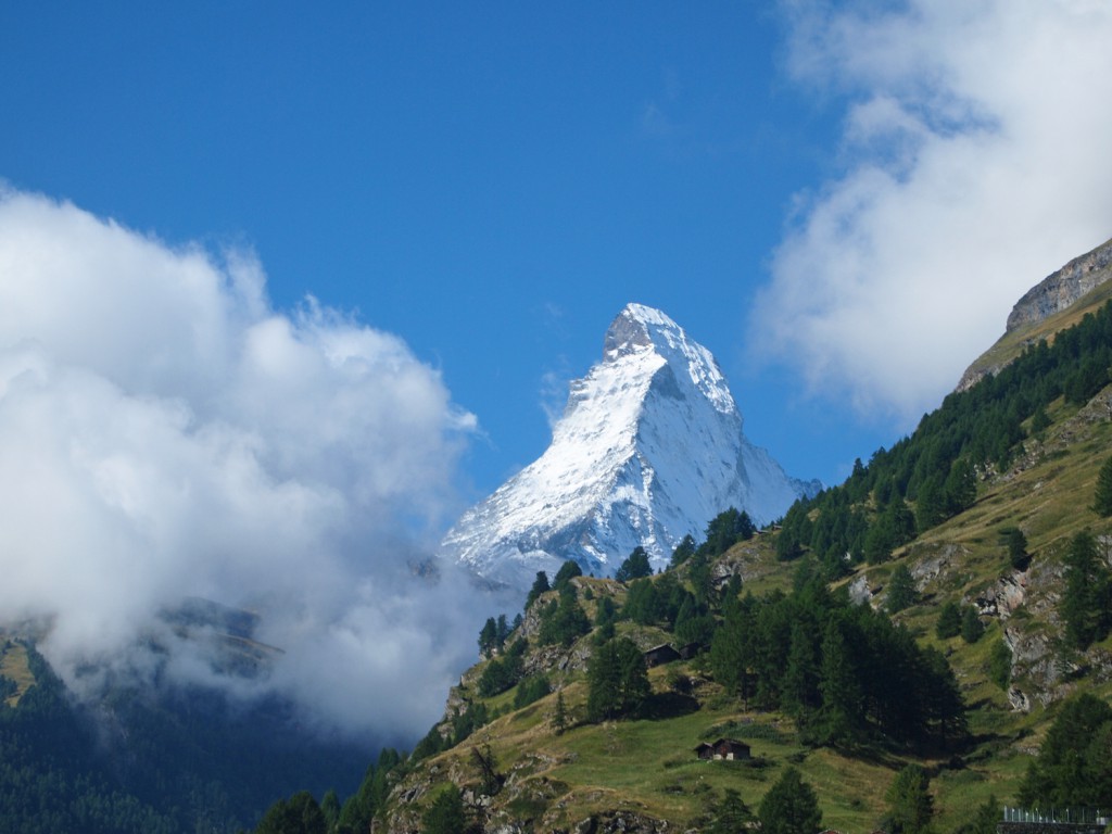
We stepped onto our balcony this morning, and this is what we saw; note the absence of any clouds at all!
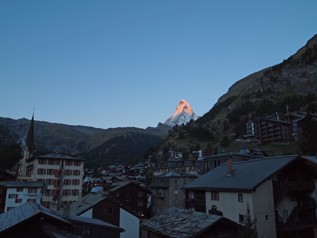
We grabbed an early breakfast, checked out of our room, and asked the hotel to hold our baggage for the day while we went out exploring. Taking advantage of the sunny skies, we took the lift up to the Matterhorn Glacier Paradise. This area is essentially a smaller mountain, near the Matterhorn, which offers great views and also the opportunity for year-round skiing.

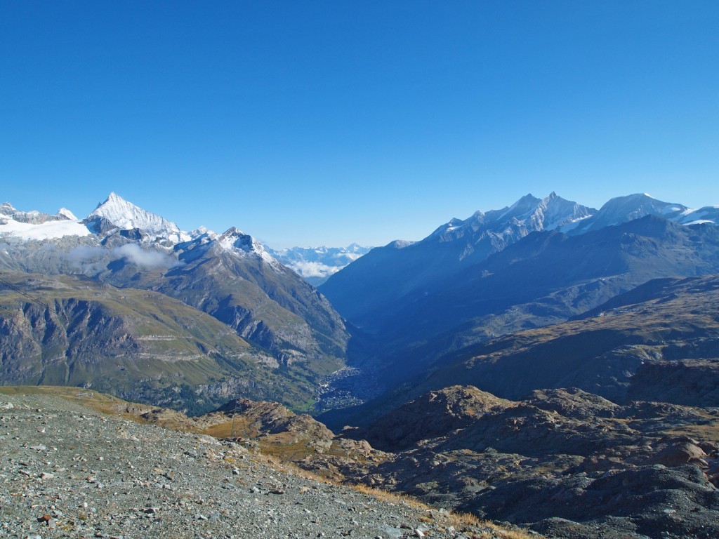
Before reaching the top, we got off the gondola and explored the area on the last stop before reaching the top, which is Trockener Steg at 9,642 feet. Below is a photo looking down at Zermatt from the Trockener Steg station.
We walked down and to the east to Theodulgletschersee, to see the Matterhorn reflecting in the still waters.
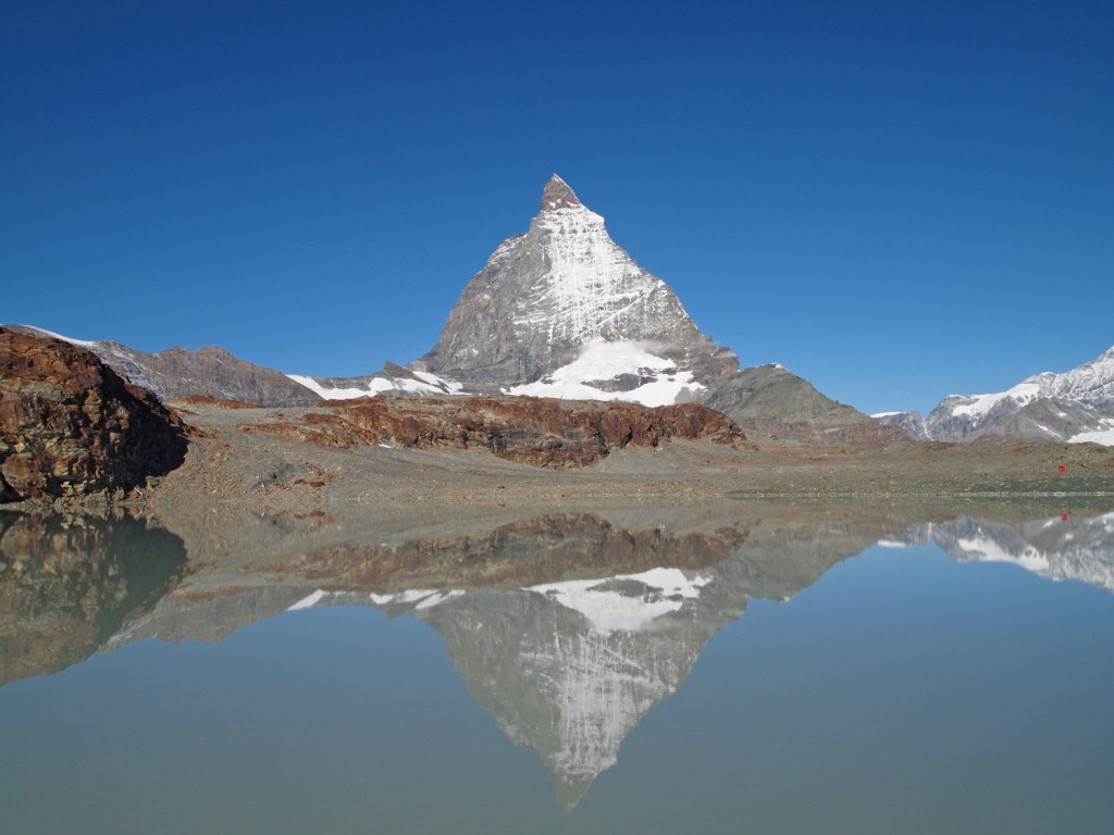
Here is a panoramic video with the mountain behind the alpine lake.

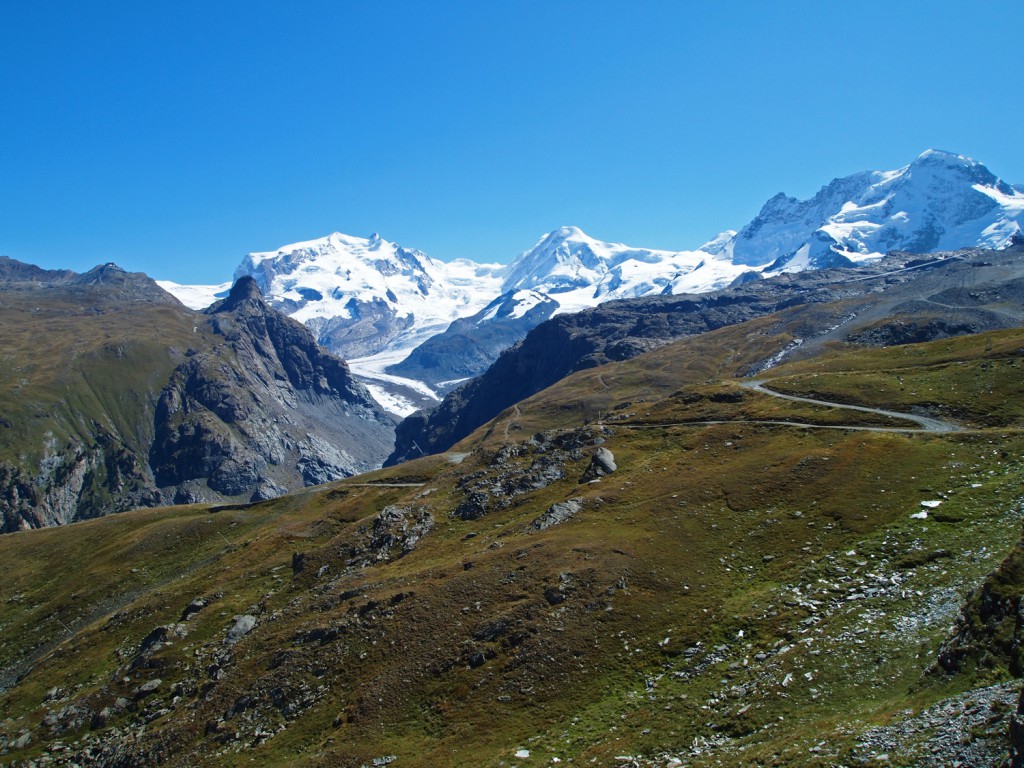
After hiking around the area for a couple of miles, we returned to the station to take the lift to the top. The image of the glacier below was taken from the gondola ride.
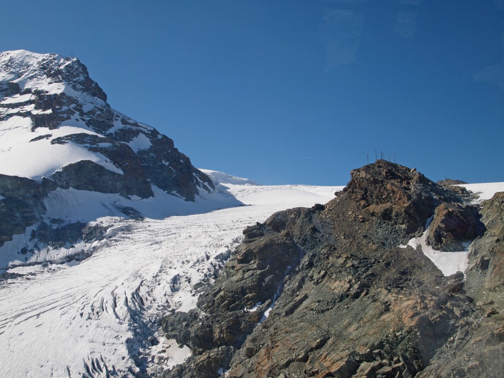
It didn’t take long, and we arrived at the top, at 12,739 feet.
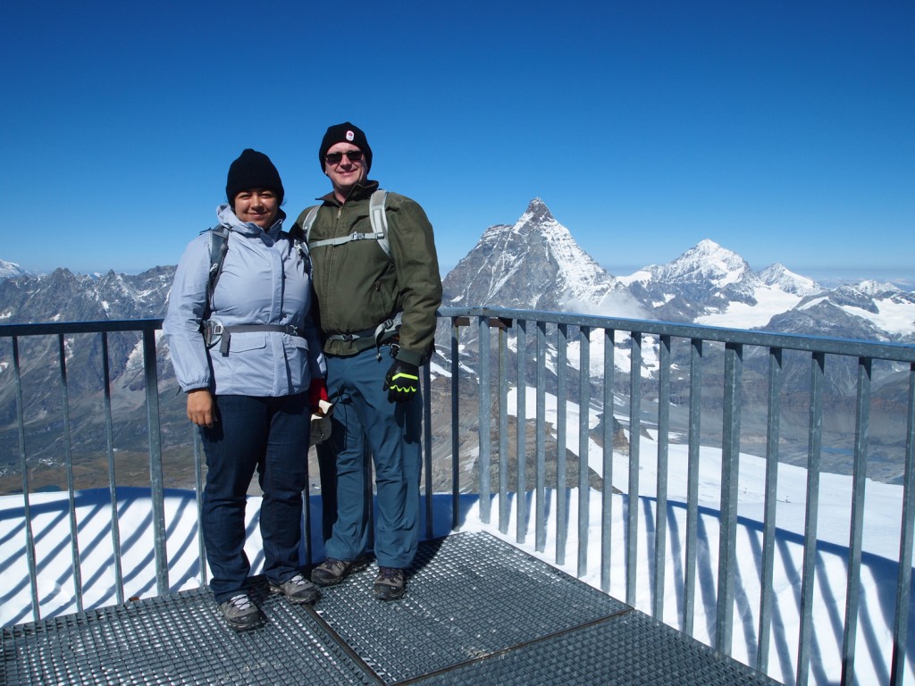
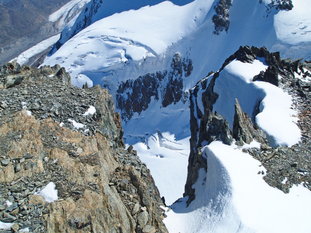
Here is the Matterhorn from a different perspective.
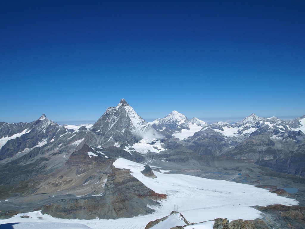
These are lifts to take skiers to the slopes on the glacier.
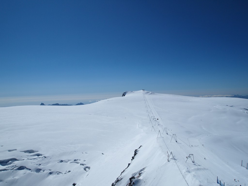
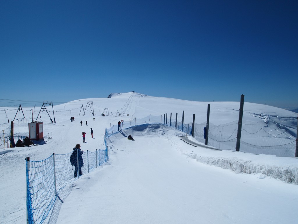
We left the viewing platform and walked out to the ski area. They even have a small snow tubing area set up, which I tried. It’s not big, but it’s the first time I can say I’ve been snow tubing in the summer!
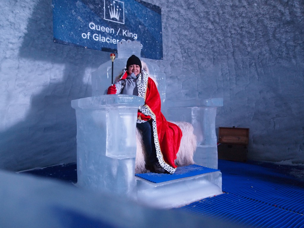
Before returning to the lift, we visited the Glacier Palace, which is a series of tunnels and caves built down in the glacier, which features a series of ice carvings on display.
After a nice temporary trip back into winter, it was time to take the gondola back to Zermatt.
Back in Zermatt, we returned to the hotel to get our luggage, and they gave us a lift to the train station, as it was time to leave this mountain town for another. We were heading to Mürren, which would take over 3 hours and about 6 train changes. The first train took us down the valley to Visp. From there, another train would take us to Speiz, where we connected with another train to Interlaken Ost. Another train took us up the valley to Lauterbrunnen, where we transfer to a cable car up to Grütschlap, before taking a final train to the end of the line in Mürren.

The views heading down the valley leaving Zermatt were stunning; much more than they were on our arrival 3 days earlier. The train today was newer, featuring panoramic windows, and it was also a bright sunny day, which changes the perspective completely. I wish I could post some photos, but there was just too much reflection in the window glass on the train.  The older train with the smaller windows may have been preferable, because at least I could open them slightly to get a camera lens through them!

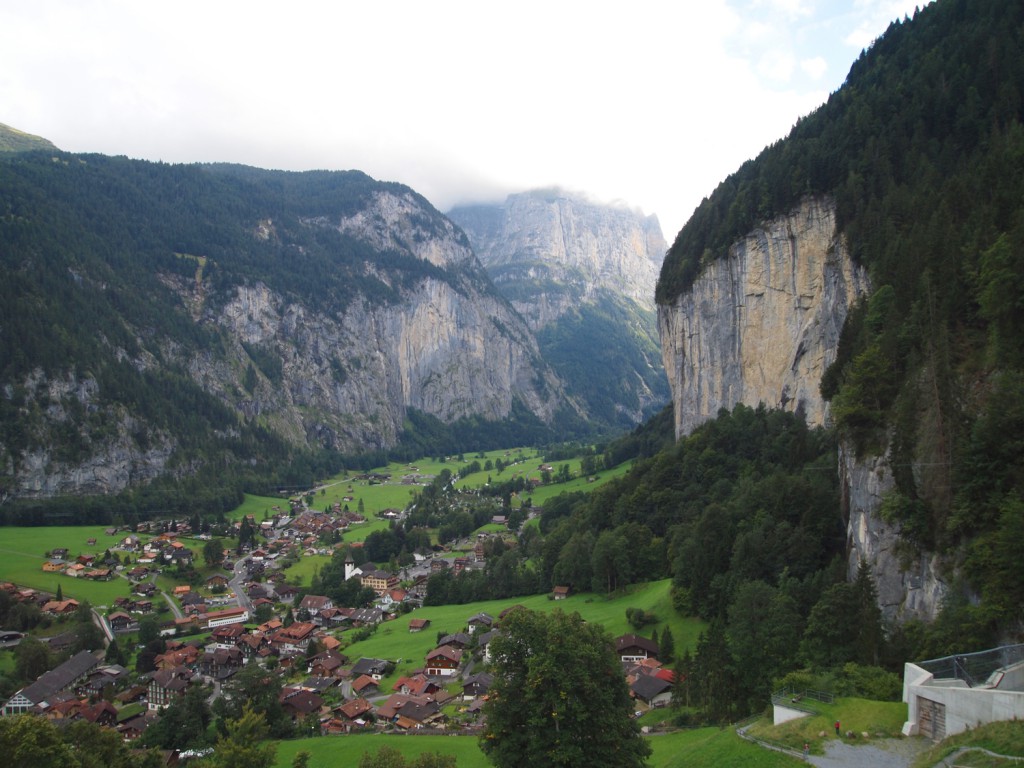
Upon arrival in Lauterbrunnen, we changed to the cable car that would take us up to a different line. Below is a picture of Lauterbrunnen, and the cliff you see on the right is where Mürren is located, but a few miles further up the valley from here. Like Zermatt, Mürren is not accessible by car.
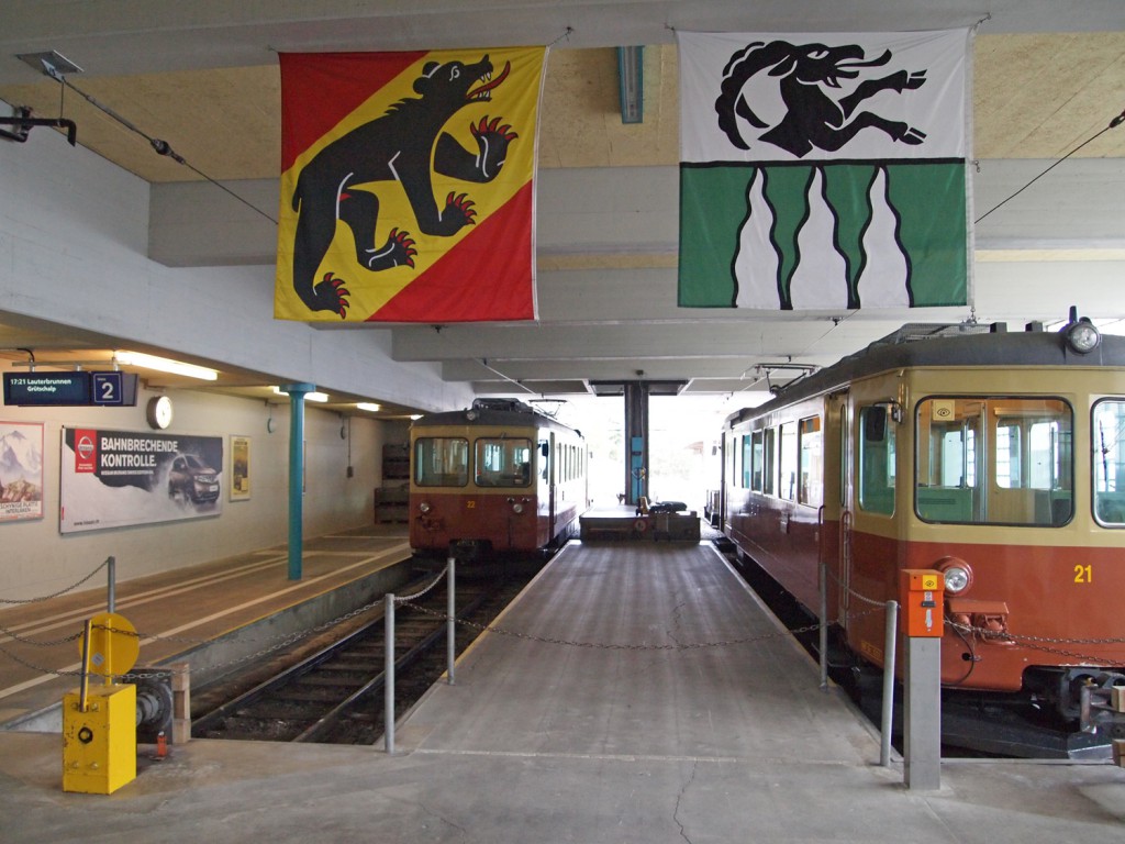
The trains up on the cliff were much older and smaller than the other Swiss trains which we have taken, but they did the job. Here we are at the Mürren BLM station.
The village of Mürren sits on top of a cliff, approximately 2,300 feet above the valley floor below. I would like to have seen how they got the train cars up there!

We checked into our hotel, explored the village a bit, and had a nice dinner before heading to bed for the night.

Day 8 – More Zermatt

When it comes to mountainous areas, you need to expect days with some cloud and rain, and today was one of those days.  We had light drizzle on and off, and mostly cloudy with some sunny breaks.  Therefore, we didn’t plan to venture too far, and stuck around town.

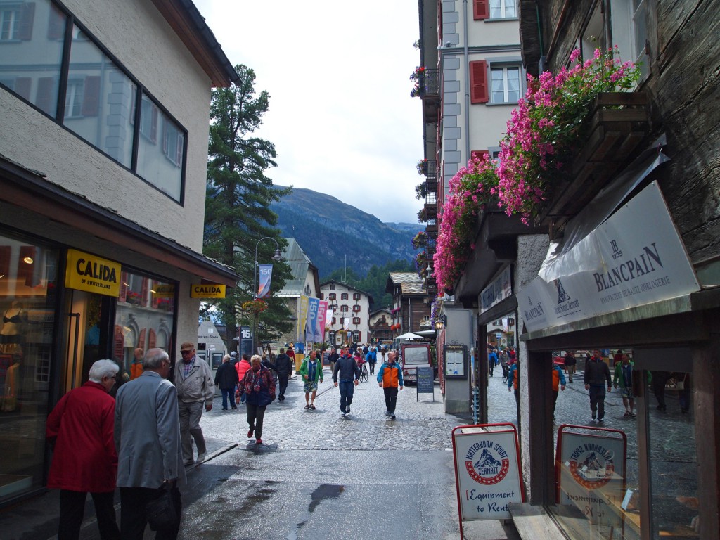
Below is a typical scene from today.  A bit cold, a bit wet and mostly cloudy, but still lots of people around.

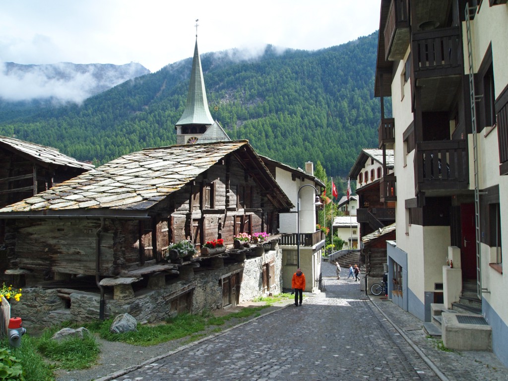
Walking down one of the side streets.

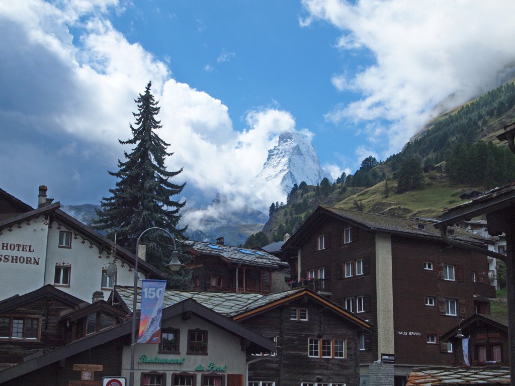
A rare moment where the Matterhorn peeked through the clouds.

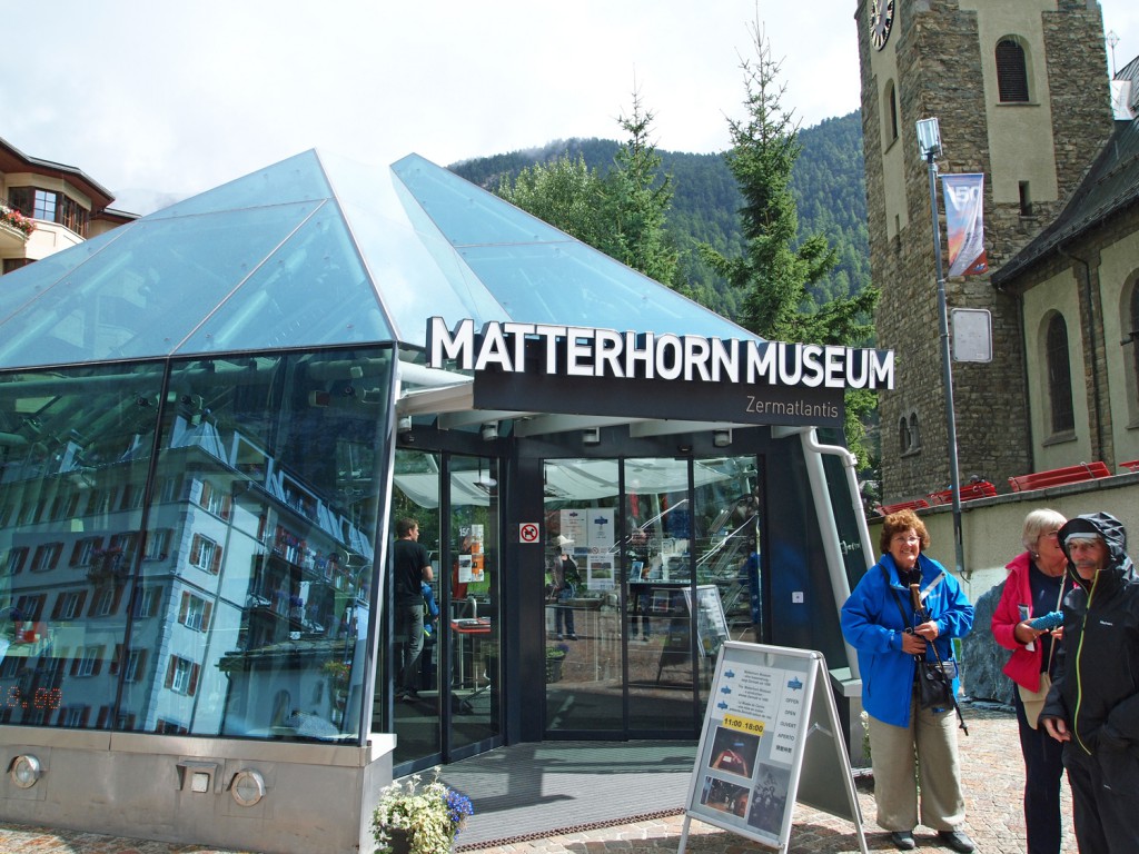
We then spent some time in the Matterhorn Museum.  It’s an excellent exhibit, with a lot of stories about the first tragic ascent of the mountain.  If you’re in town on a rainy day, I recommend spending some time here.

In the evening, we had a lovely dinner at our hotel, where I ate probably the best wiener schnitzel I’ve ever had.

The weather forecast for tomorrow is supposed to be cold but very bright and clear.  Unfortunately, we’re leaving Zermatt tomorrow.  However, if we do get some clearer weather, we’ll probably delay our departure until later in the day so we can get in a few more outdoor explorations before we leave.

Day 7 – Hiking around Zermatt

We awoke this morning, looked out the window, and apparently we do have a view of the Matterhorn! The bad weather has apparently cleared; at least for now.

We had a nice breakfast, and got ready to go out hiking. The nice thing about hiking here, is that there are a lot of lifts to take you up into alpine areas from where to begin your hike. This is different than what I’m used to in Canada, where you might spend the first couple of hours, slogging through the trees for the first 1,000 feet of ascent before you get out of the forest to start enjoying the views. Of course, the downside of this accessibility, is that you do have to put up with a bit of unsightly lift infrastructure, and there is a bit more development around. I guess that’s a reasonable trade-off.

We took an underground funicular lift from Zermatt up to Sunnegga, and from there, took a gondola up to Blauherd, from where we began our hike. Our plan was to hike around to some of the alpine lakes in the area (which I suspect are damned up a bit to serve as ponds for snowmaking in the winter ski season), work our way back down to Sunnegga, and then take the funicular back down to Zermatt.

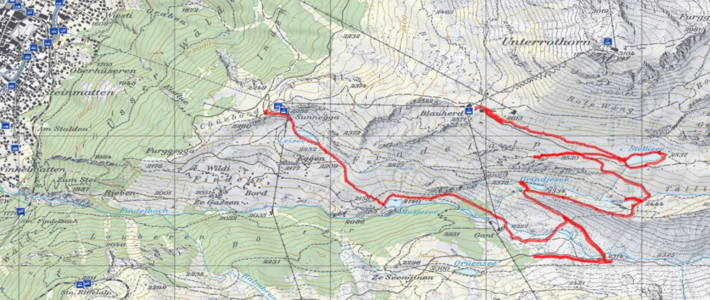
We didn’t have any electronic maps installed on my GPS, but I still had it running so I could keep a track of where we went. Below is our track overlaid on a topo map of the area.

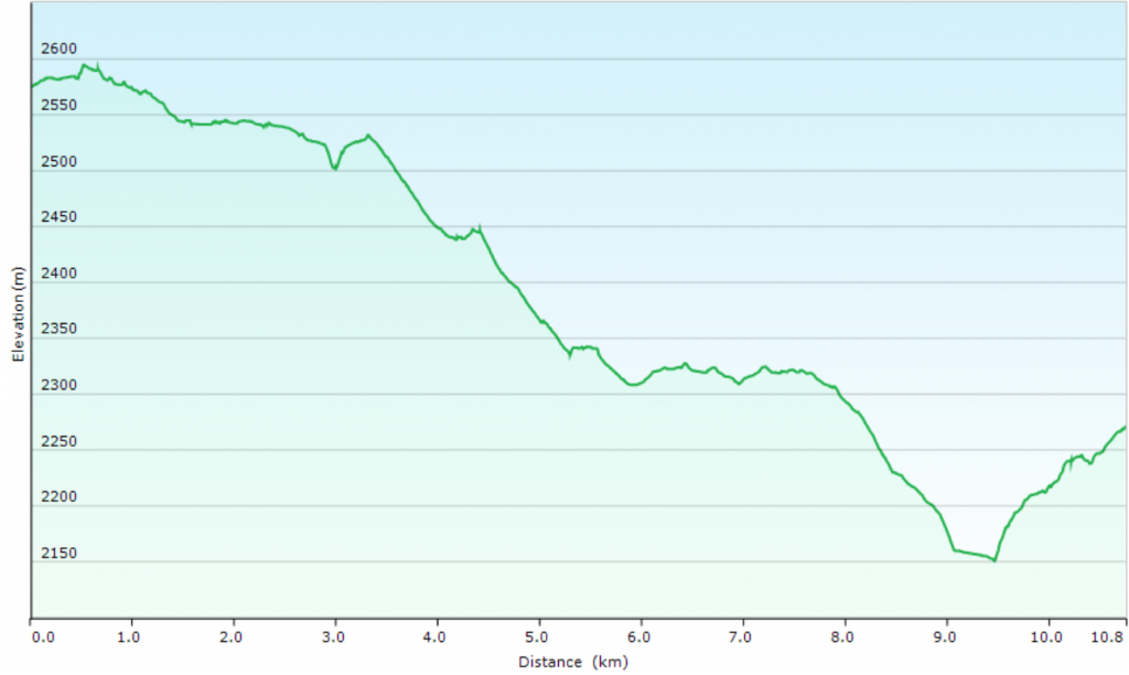
Below is a graph of the elevation of the hike.

Maximum elevation reached was 2,595 metres and minimum was 2,151 metres, covering a total of 11.5 km with an average speed (when moving) of 4.0 km/h.

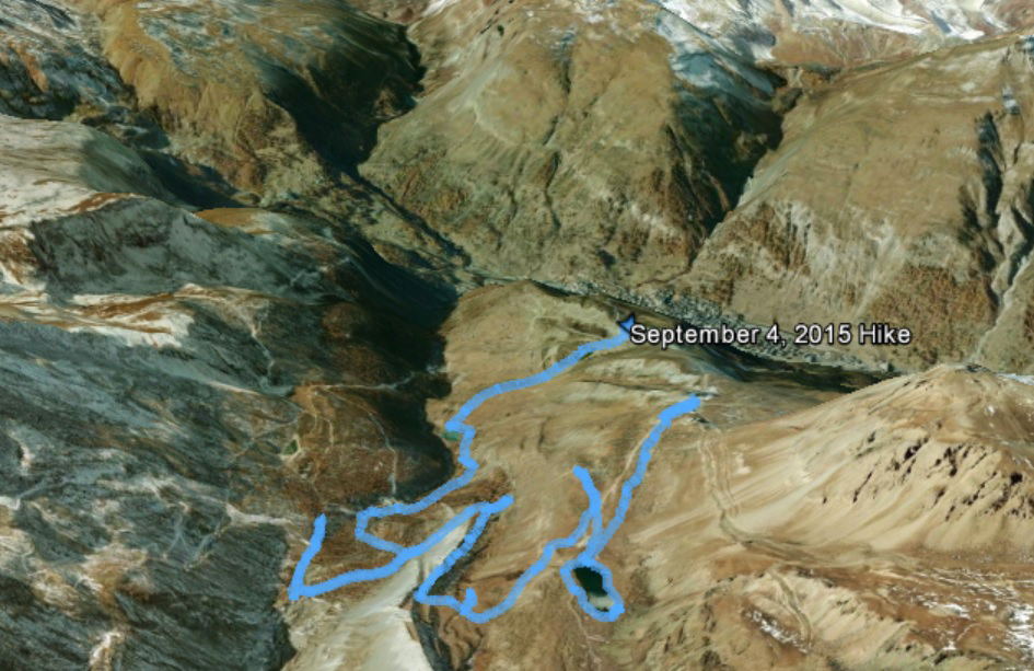
Here is what our hike looks like on Google Earth, oriented with the town of Zermatt at the top centre of the photo, and Matterhorn off to the upper left but outside of the image.

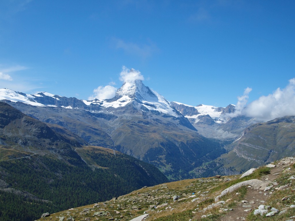
Here we are at the beginning of our hike, with the Matterhorn hiding slightly behind a small cloud.

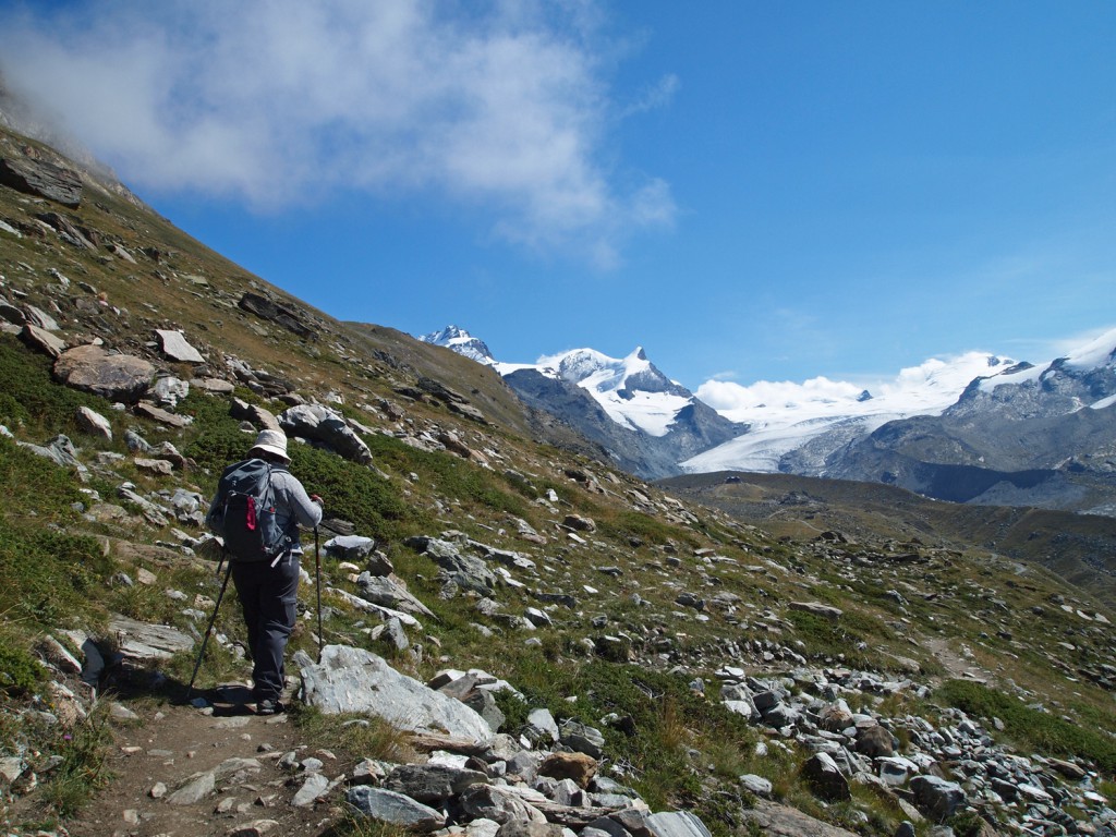
Nadine walking along the trail, heading east from Blauherd.

Looking back towards the Matterhorn…

Continuing along the hike…

Looking up at the Rothorn above…

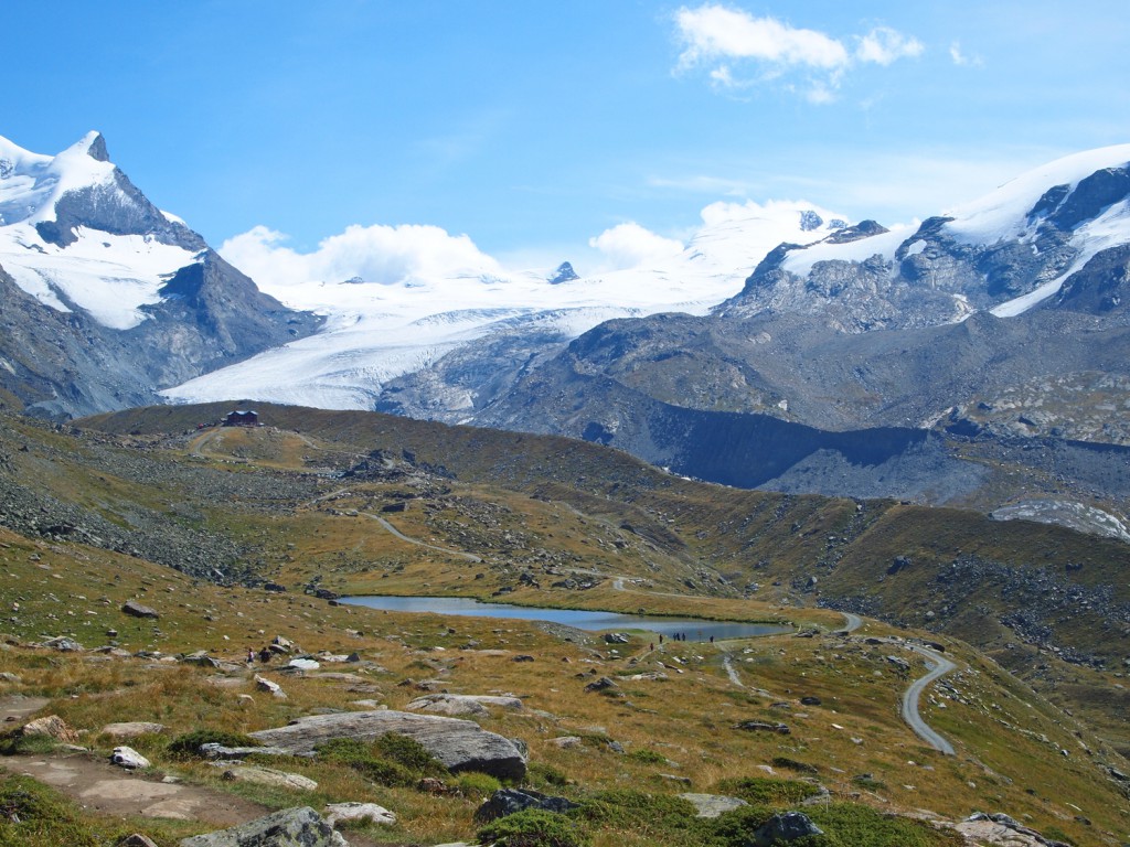
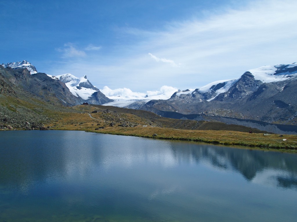
Arriving at Stellisee.

We stopped here to have a bite to eat at the end of the lake and relax in the stunning views!

Looking down at the Gant ski lift station from the trail on the cliff above.

We stopped here for another rest, because it looked like a nice spot to take in the scenery.

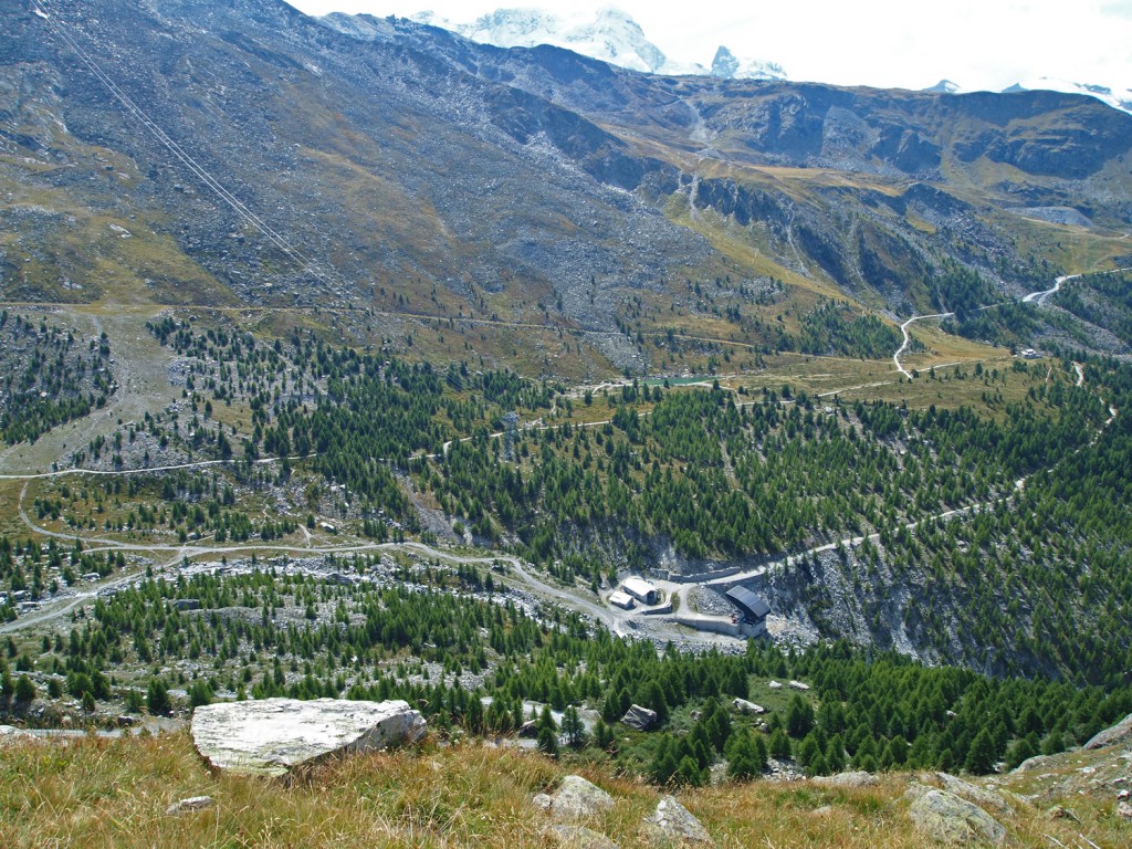
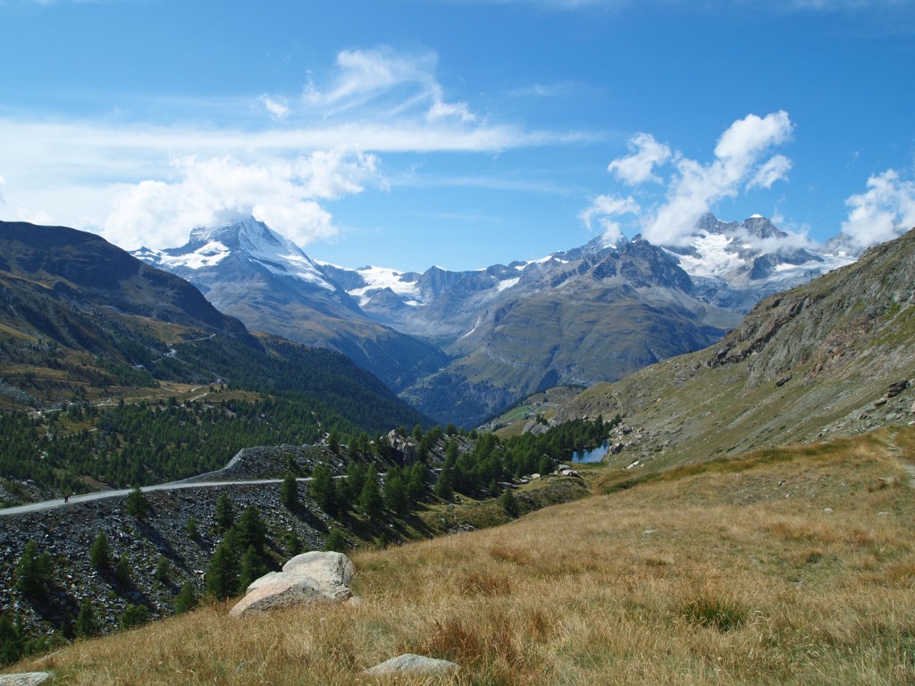
As we descended further, we started to see more and more trees around.

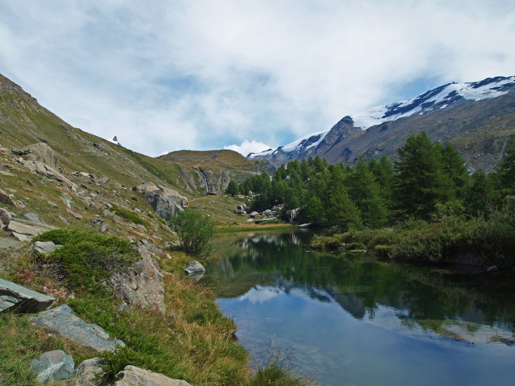
Here we are at Grindjisee.

Continuing along the hike, the weather remains sunny, but that same light cloud still sits in front of the Matterhorn, which has been blocking a clear view of the iconic peak for much of the day.

On the way up the hill from Moosjisee toward Sunnegga, there was a lovely view over a small village with the Matterhorn in the background. Unfortunately, due to the time of day and the position of the sun, it was difficult getting a good photograph to do it justice, but here’s my best attempt.

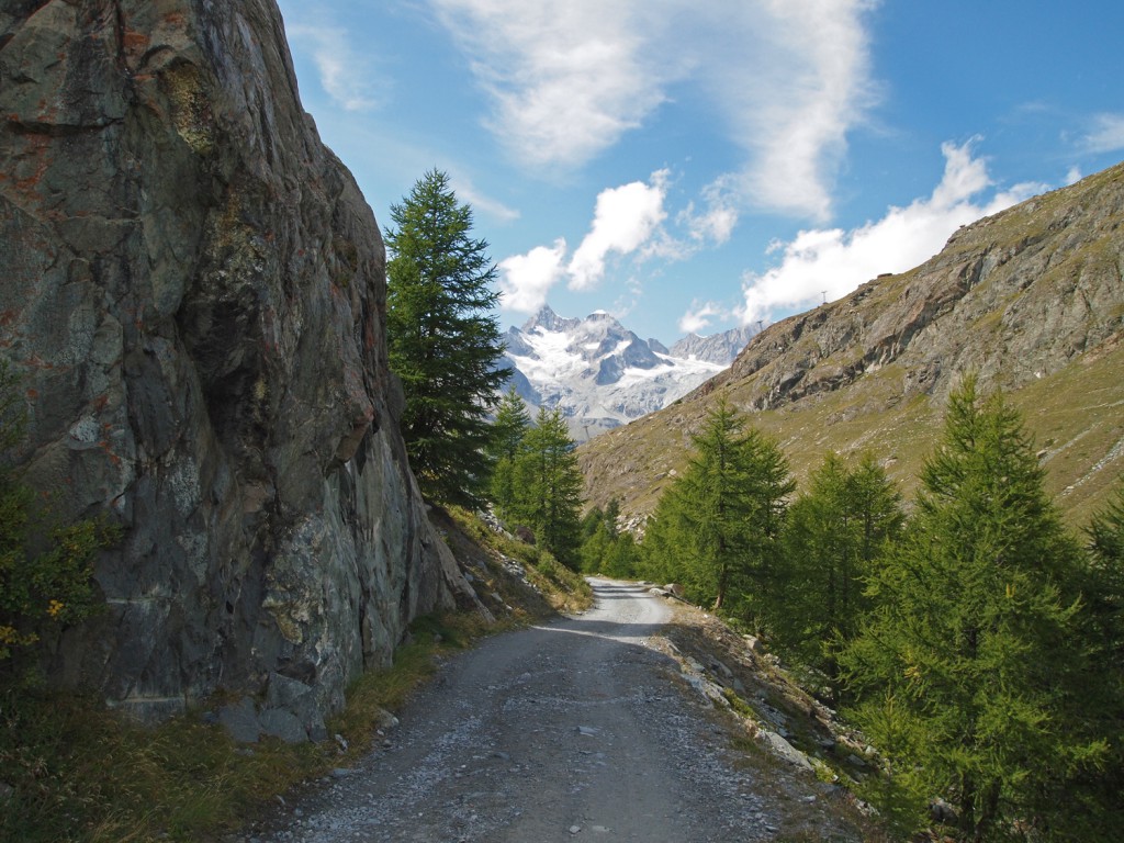
On the final stretch toward Leisee and Sunnegga…

Back at Sunnegga, we caught the train back to Zermatt.

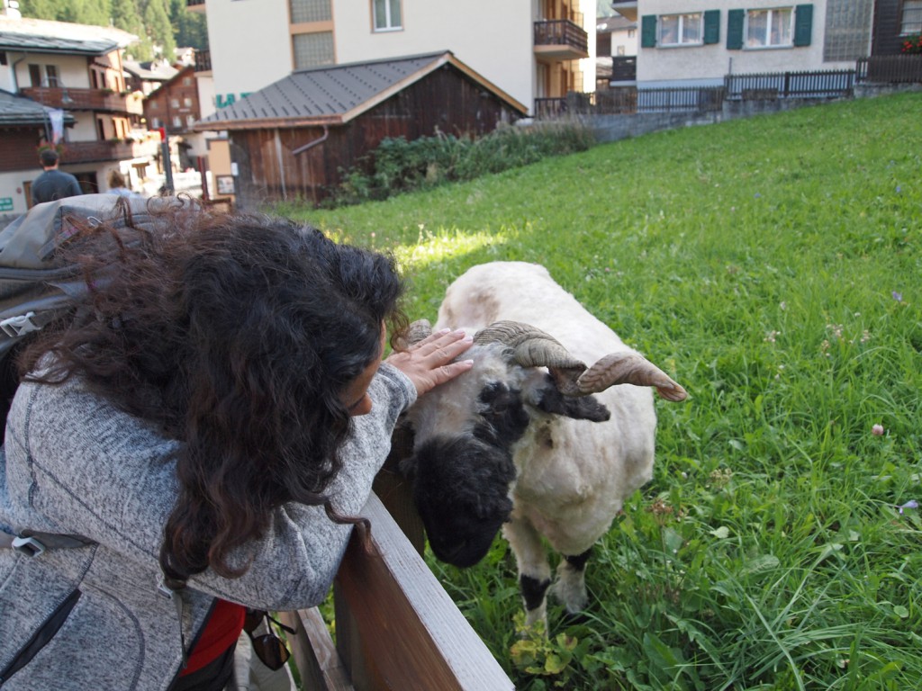
Along the walk back to the hotel, Nadine found a new friend eating grass in a local yard.

Back at the hotel, we got cleaned up from our hike, and headed down to the spa to relax in the hot pools before having a nice late dinner at the hotel.