Day 12 – Schilthorn

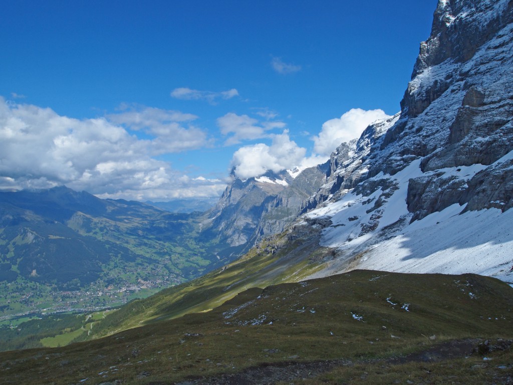
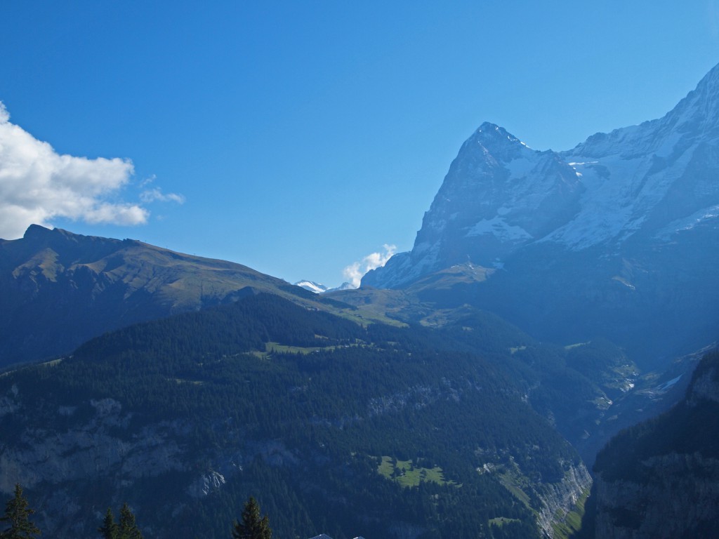
Here is a morning view across the valley, looking toward the Eiger Trail that we hiked the previous afternoon.
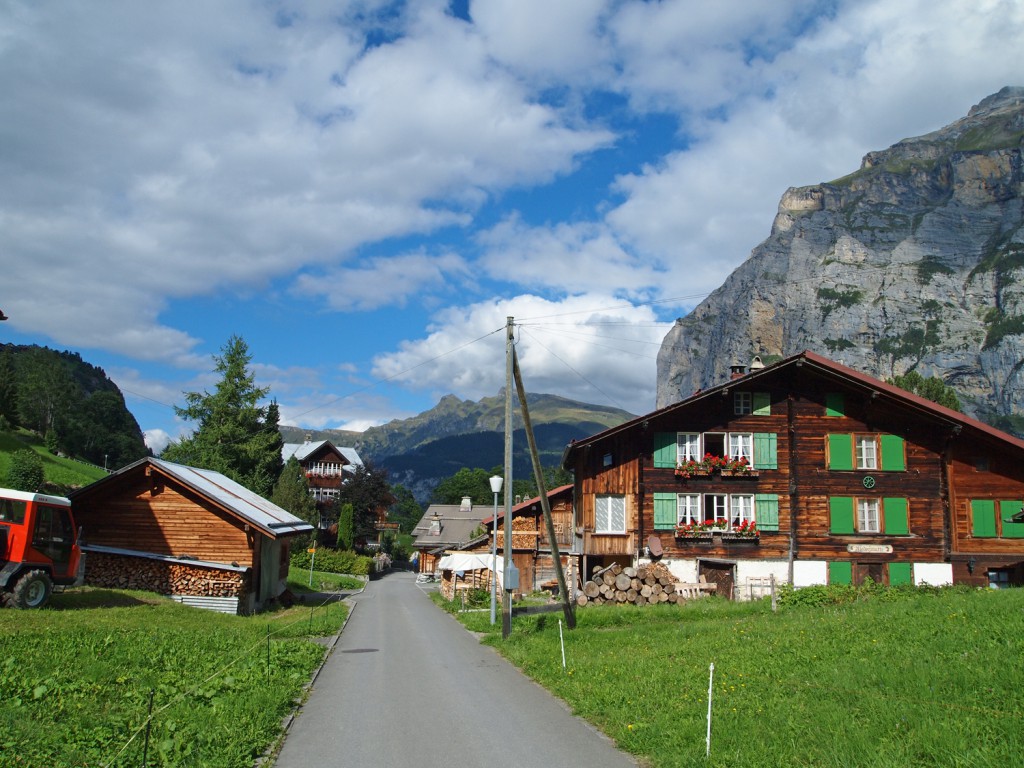
Below is a image of Mürren as we walk toward the other end of the village.
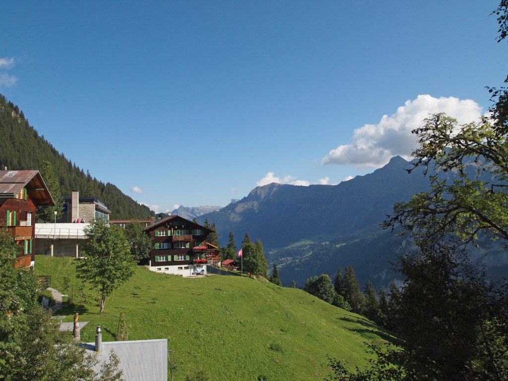
Based on these clear views, we had high hopes for our planned hike today, which was to take the Schilthornbahn cableway up to Birg, and from there hike up to the summit of Schilthorn. Unfortunately, while it was clear toward the Eiger, it was not not clear in the other direction toward the Schilthorn. Here is the view upon reaching Birg.
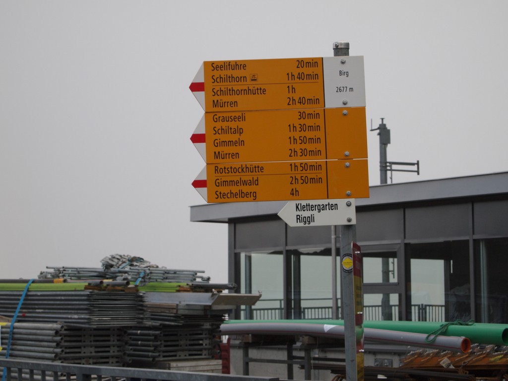
As we were riding the cable car up, it seemed that we entered the cloud just before reaching Birg, so we changed our plans a bit, and tried hiking down a bit, hoping to still get some nice valley views once we got below the cloud.

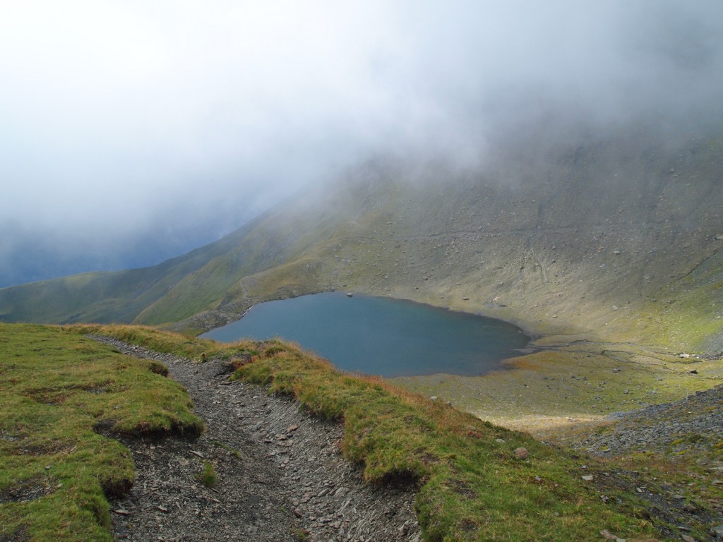
As we approached Grauseewli, we could start to see we were getting to the bottom of the cloud.
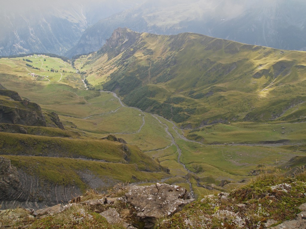
Here is a nice view from a cliff above Grauseewli, where you can start to get a nice view of the valley, and can imagine what it must be like under clear skies.
We stopped for lunch at the edge of the lake before hiking back up to Birg.

Since we came all this way, we decided to take the cable car up to the top of Schilthorn, even though the views aren’t going to be very good. Once up to the top, I started hiking down a bit, to see what our climb might have been like. The ridge off the west side of the Schilthorn summit looks a little spooky in the clouds, not being able to see much of the vertical drop off on either side.
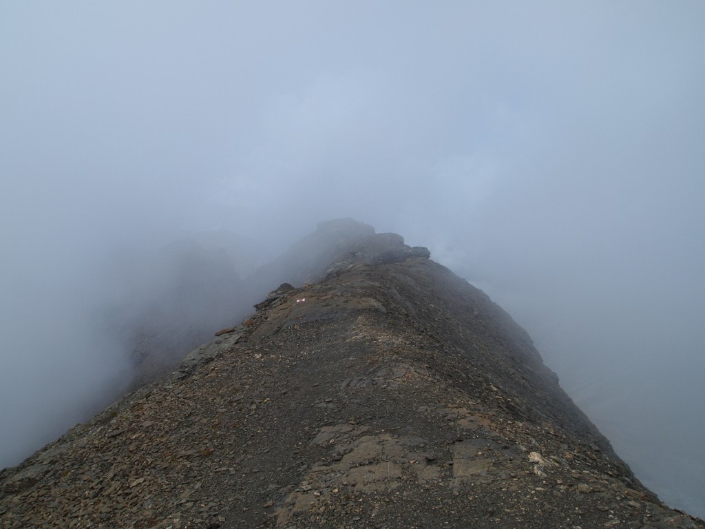
This part made me a bit nervous, where walking down the rocks got steeper and you couldn’t see very far ahead. The little section of cable to hold on to was a helpful guide.
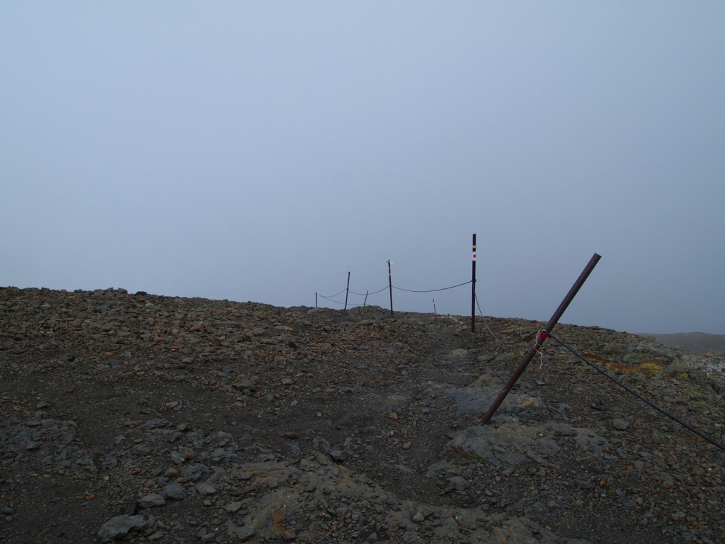
Once down on the next ridge a bit lower, you can see a bit of the drop off through the clouds.
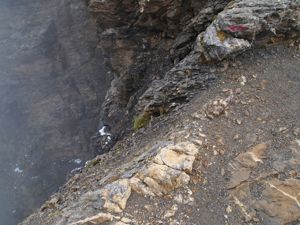
Here’s the view off the other side.
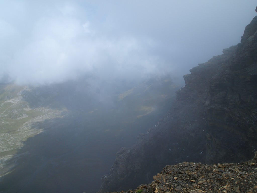
I didn’t venture out more than about 400 meters due to the lack of views, and then headed back up. It’s probably good that we didn’t bother hiking up here, since there wouldn’t have been much reward for the effort.

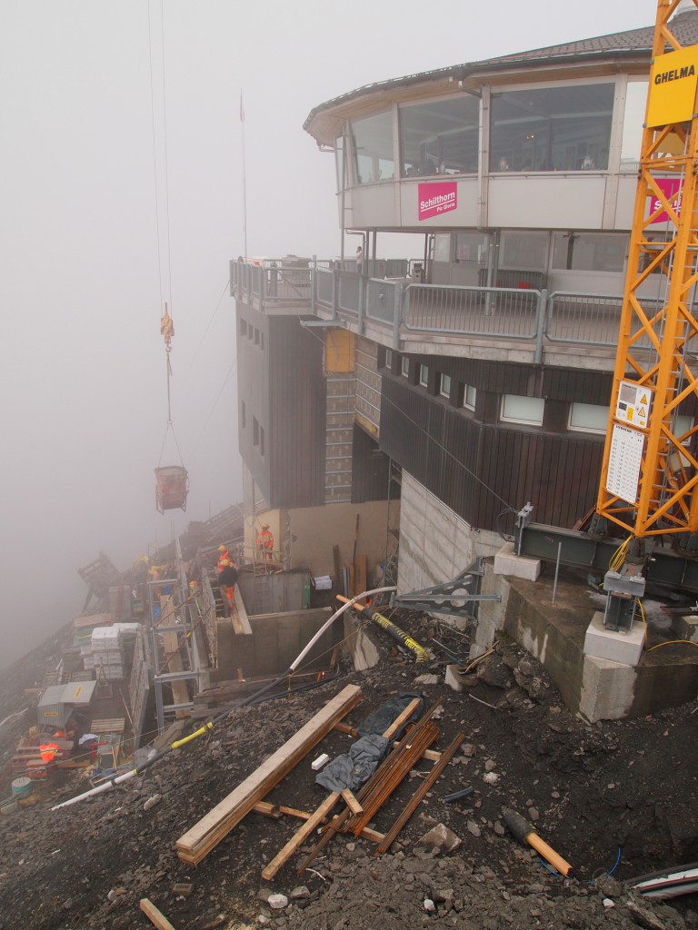
Back at the top, we watched as construction workers were pouring concrete foundations for an expansion to the building for a new exhibit. Something so simple becomes much more challenging when working so high up, with no ability to drive trucks to the site, and having to work on a small and steep slope for a job site. Just watching them mix concrete on site, bag by bag, and lifting the mix up by crane to pour into the forms was interesting. We actually rode the gondola up with a pallet of cement bags, and we now know what they were for.
It’s vital to understand the proper dosing of clomid for effective results. Remember, consulting a healthcare professional is always recommended before starting any medication.

Discover the essentials of Clomid dosing:

1️⃣ Start with the prescribed dose as directed by your doctor.

2️⃣ Most commonly, Clomid is taken in a 5-day treatment cycle.

3️⃣ Typically, the dosage ranges from 50mg to 150mg per day.

Before you begin your Clomid journey, ensure you have all the facts and insights. Your health matters!
We then visited the 007 James Bond museum, which mainly features the film On Her Majesty’s Secret Service, which was filmed on the Shilthorn in 1969.

Day 11 – Jungfraujoch and Eiger Trail

As luck would have it, we’ve got another sunny day! We awoke early, had breakfast, and headed out for what would be another full day.

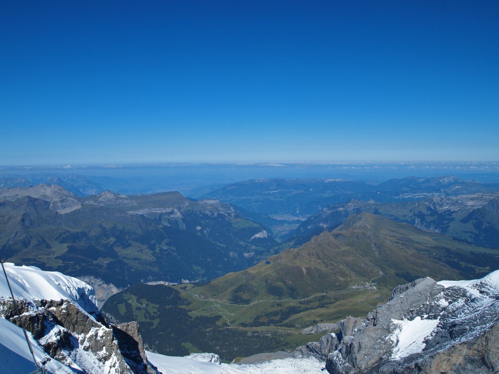
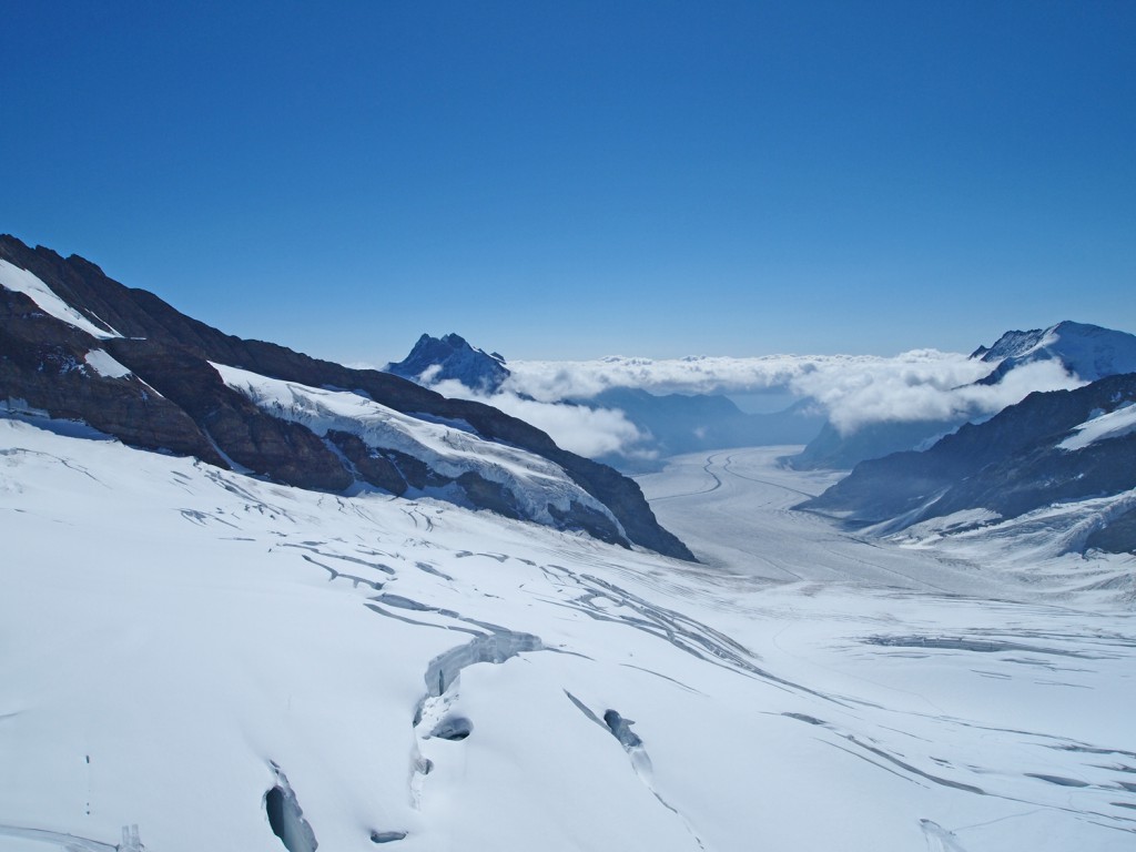
We started by taking the familiar little train over to the cable car and down to Lauterbrunnen. From here, we transferred to a different train that took us up to Wengen, which is another car free village, but on the cliffs on the opposite side of the valley. Once at Kleine Scheidegg, we changed to a different train which would take us to the Jungfraujoch, which is basically a train station on a ridge at 11,371 feet between the mountains of Mönch and Jungfrau. It wasn’t quite as high as we were in Zermatt at the Glacier Paradise, but the feat of building a railway line (much of it in a tunnel) up to this point is very impressive.

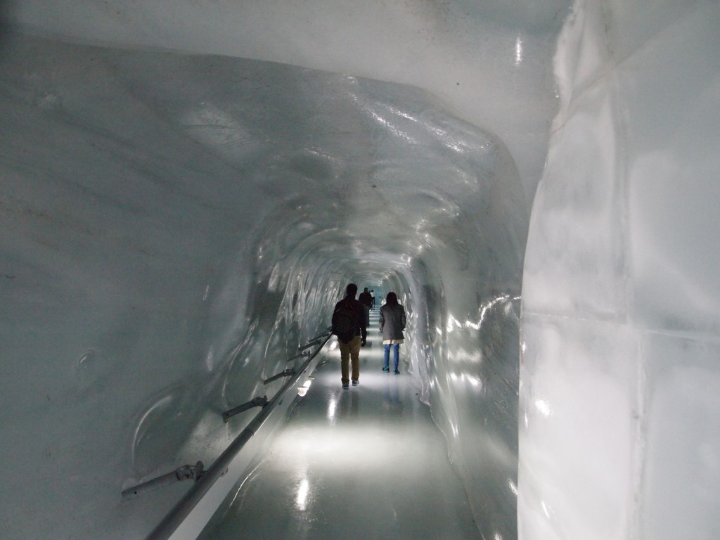
Like the Glacier Paradise in Zermatt, they also had some outdoor snow activities on the glacier, and also their own version of the ice palace carved out inside the glacier.

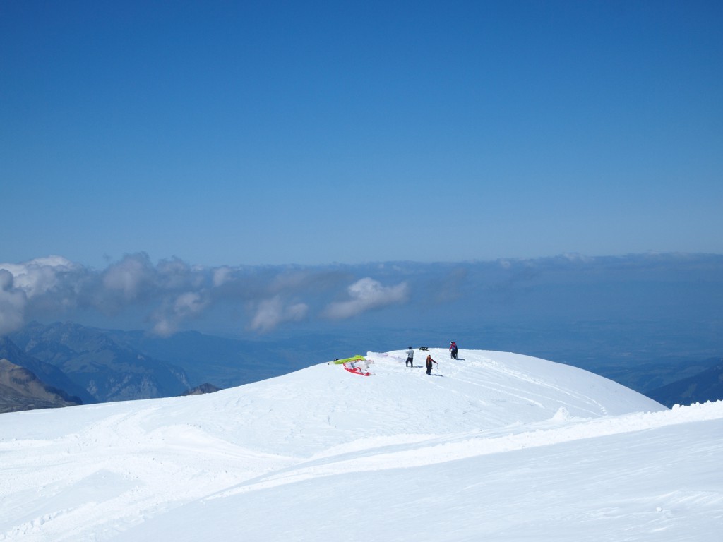
We even watched people paragliding off of the glacier down to the valleys below.

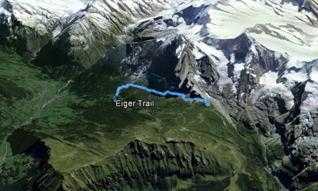
On our way back down, we got off of the train at the first stop outside of the tunnel, which was the Eigergletscher station, from where we would hike the Eiger Trail over to Alpiglen station. As usual, I had my GPS running, and here are our tracks.

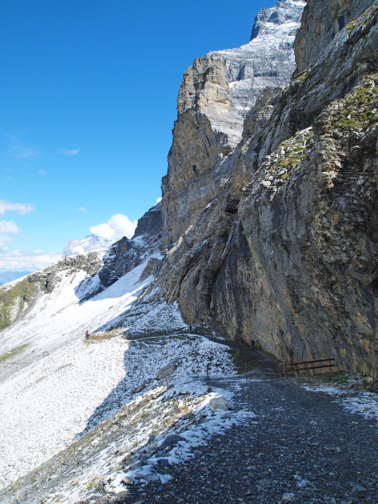
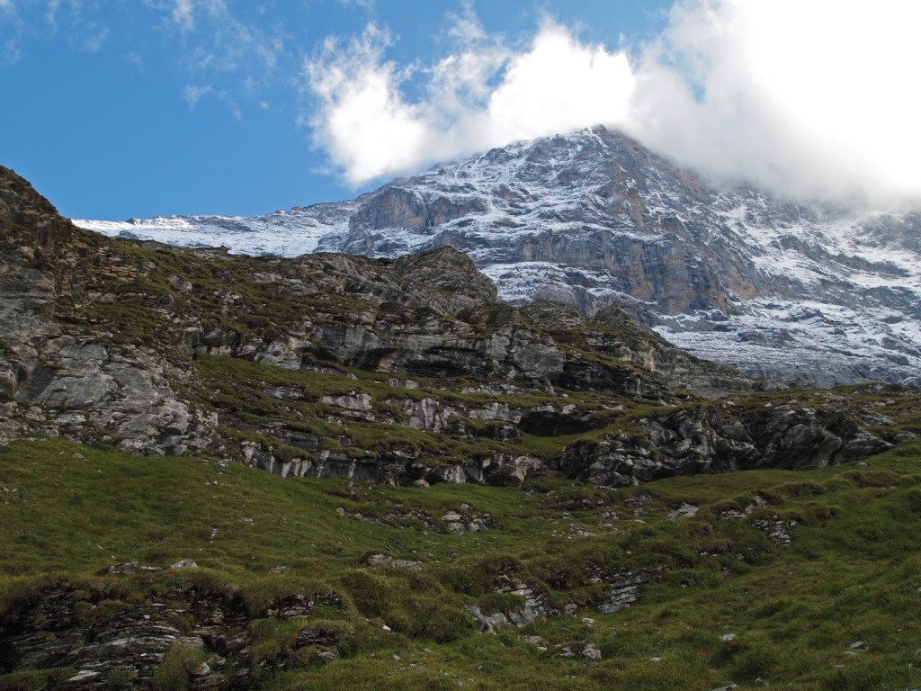
As you can see in the above satellite image, the trail basically follows the base of the Eiger north wall. Here we are at the start of the trail.

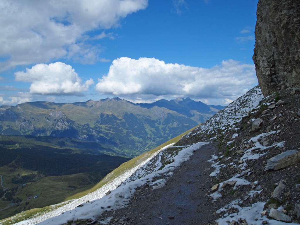
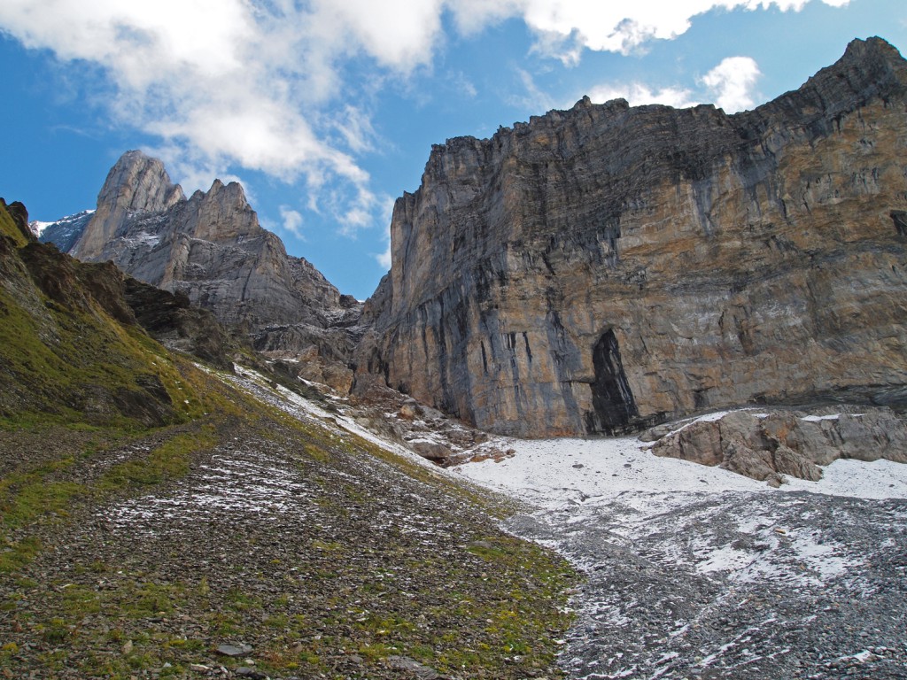
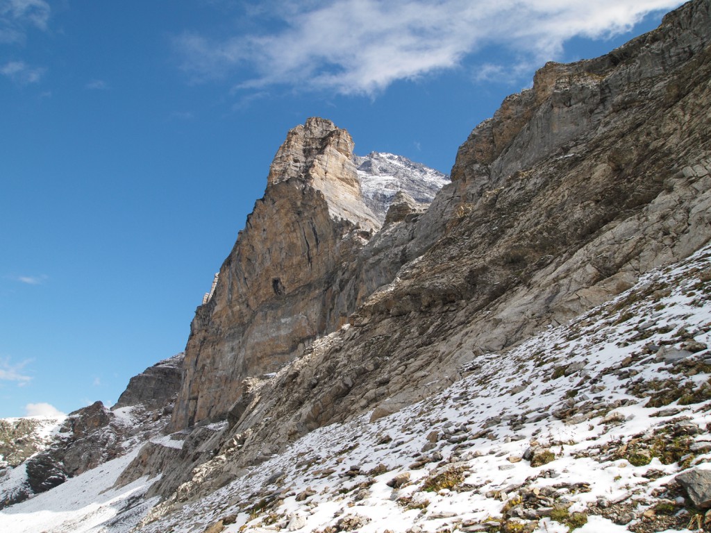
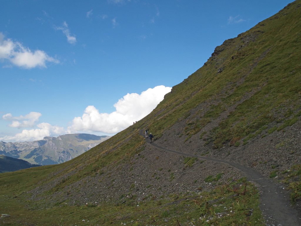
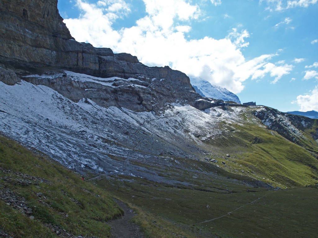
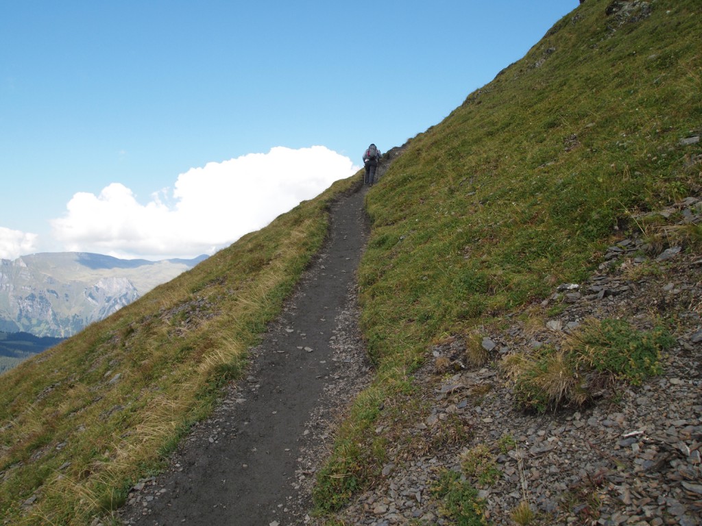
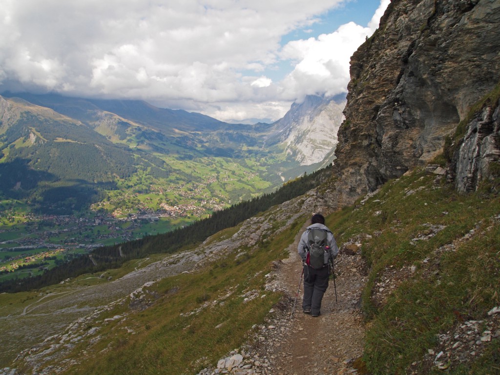
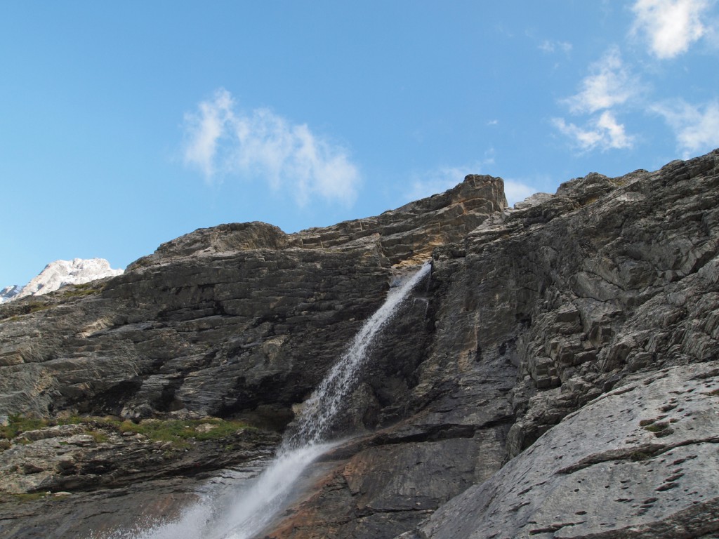
Here are some more photos from along the trail.

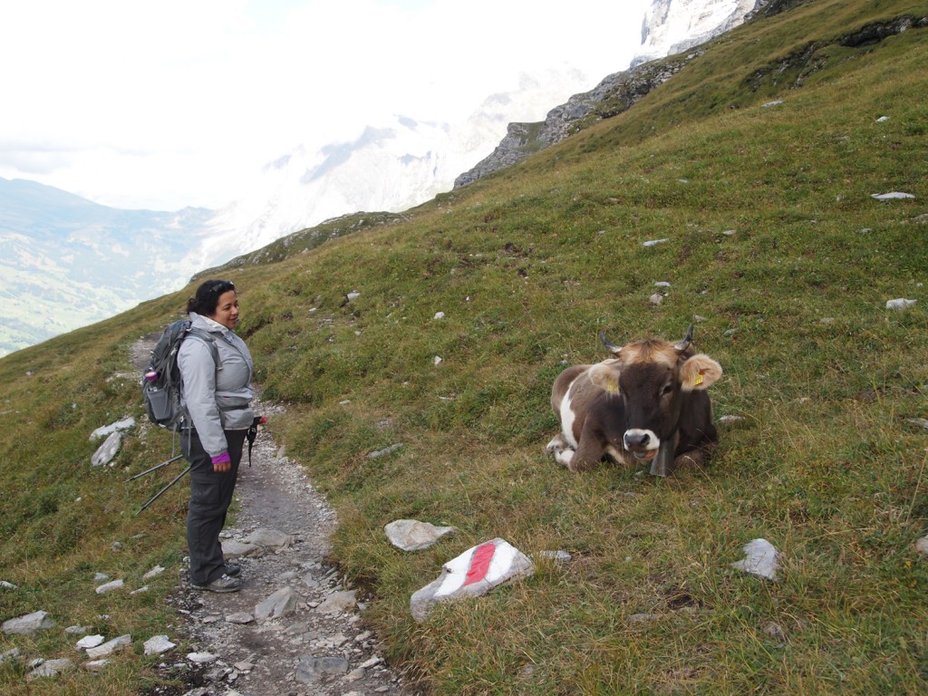
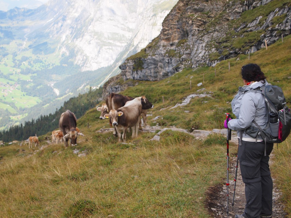
As we climbed lower, out of the snowy areas and into greener areas, we started to hear the sound of cowbells again, and came across a lot of cows near and even on the trail.

Here’s a short video of Nadine walking around a few cows blocking the trail. Note the sound of cowbells.

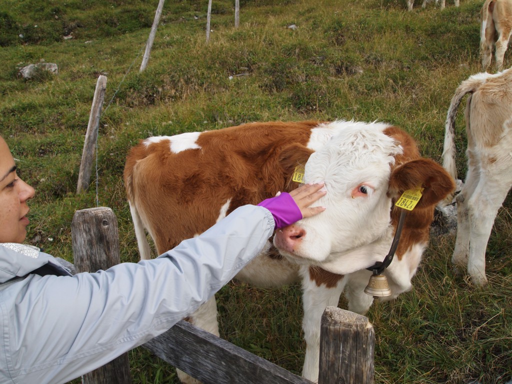
Some of the cows were very friendly, and came right up to us.

We continued our trek along the trail as some evening cloud started to roll in.

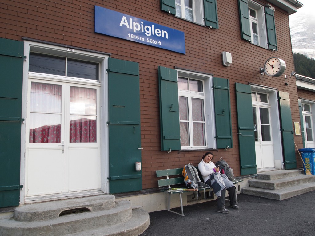
Eventually, we reached the railway station at Alpiglen, and waited to catch a train back toward Kleine Scheidegg, down to Lauterbrunnen through Wengen, and then back up to Murren.

Day 10 – Mürren and Lauterbrunnen

On our first morning in Mürren, we awoke to the following image of the mountains Eiger and Mönch from our balcony.

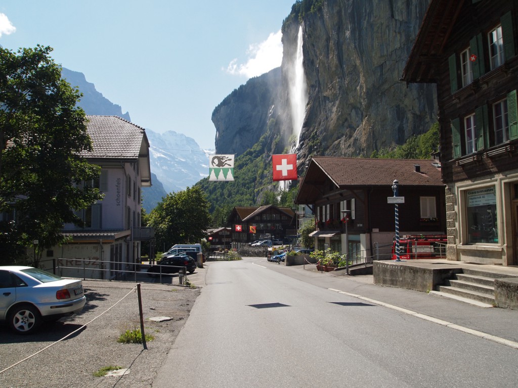
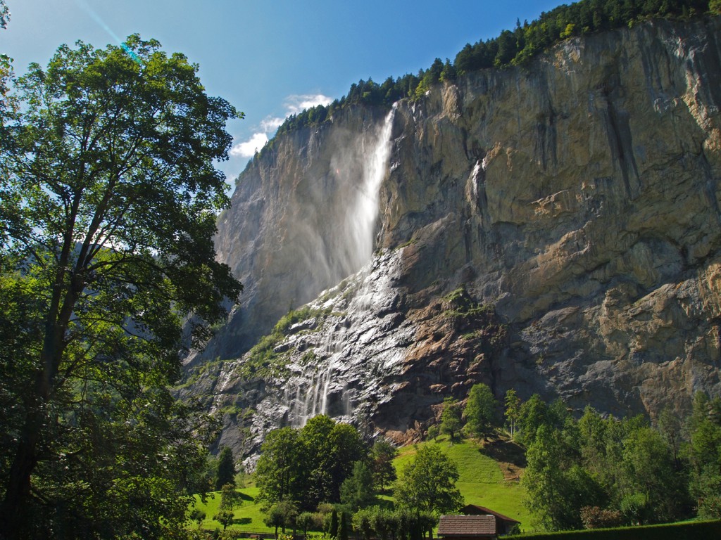
After breakfast, we got ready to go out to explore. After doing some higher elevation hikes lately, we thought we go back to something simple. We decided to stick close to home and walk the Valley of the 72 Waterfalls, which is really just a nice 9km walk through the Lauterbrunnen valley below Mürren.

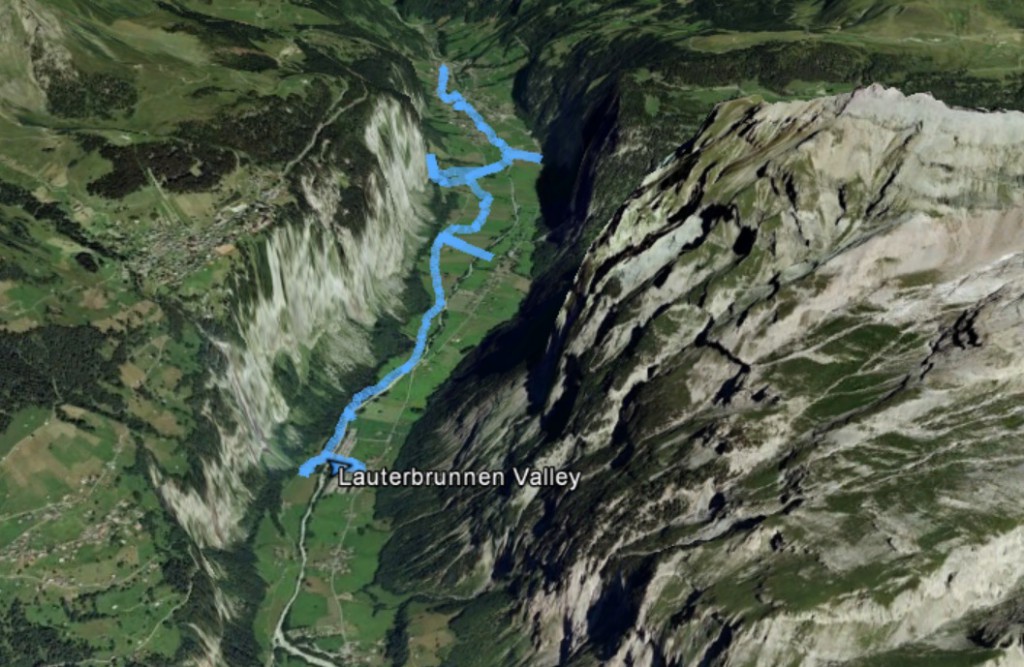
Below are our GPS tracks overlaid on a Google Earth image. Don’t take them as being too accurate, since the track seems to jump around a lot, which I’ve seen before with my GPS when in areas surrounded by large mountains or high cliffs, such as this. It does, however, give a general idea of where we walked.

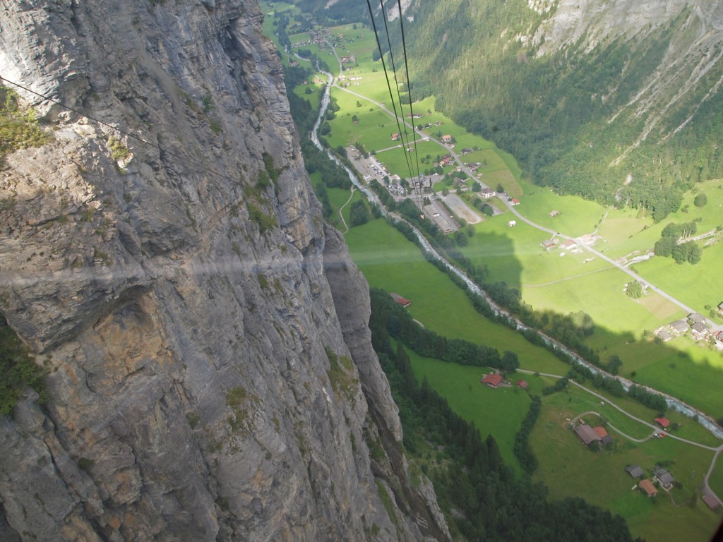
We took the little train from Mürren over to the cable car that takes us to Lauterbrunnen on the valley floor. Once down, we walked through the town and then up the valley.

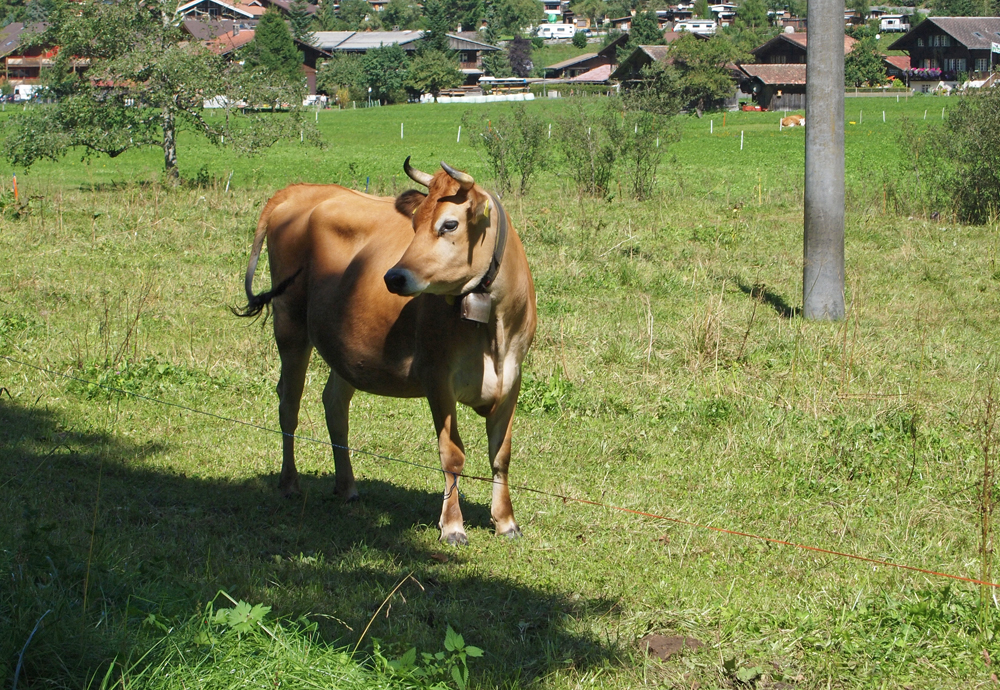
The sound of cow bells are everywhere.

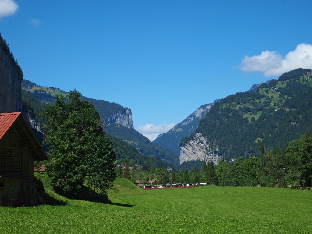
There were lots of little farms along the river as we followed the trail up the valley.

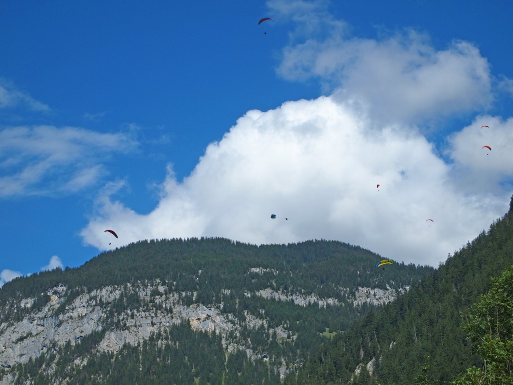
When we reached the cableway in Stechelberg up the valley, we could see several paragliders jumping off of the cliffs above.

We took the cable car up to Gimmelwald, a small village that sits above the valley but below Mürren.

We walked around Gimmelwald for about an hour or so. It’s a pretty place, but a little sleepy.

We then returned to the cable car station and continued up to Mürren for the night.