We awoke to a nice sunny day in Banff, and wanted to get out for a short hike. We wanted to do a reasonably simple hike as practise for some more challenging hikes later in the Lake Louise area.
After a quick breakfast in town, we headed up Highway 1A toward Johnston Canyon. I had heard that while it is generally crowded with tourists, it is an impressive thing to see. We also planned to go beyond Johnston Canyon and hike out to the Inkpots, where the thick crowds were likely to thin considerably.
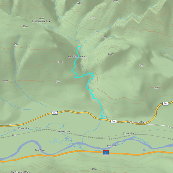
Below is a topographic map showing the GPS tracks of our hike.
Below is an elevation plot of the hike.
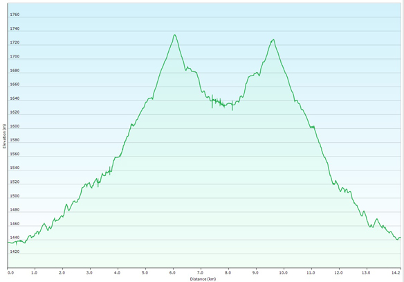
The total trip measured about 14km, starting at an elevation of 4,708 feet at the highway, finishing at 5,380 feet at the inkpots, and reaching a maximum elevation of 5,692 feet along the trail.
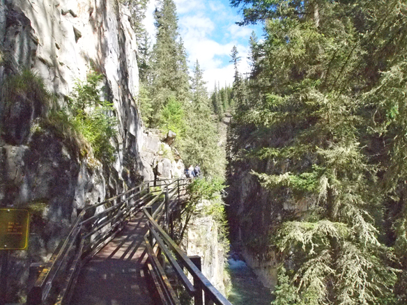
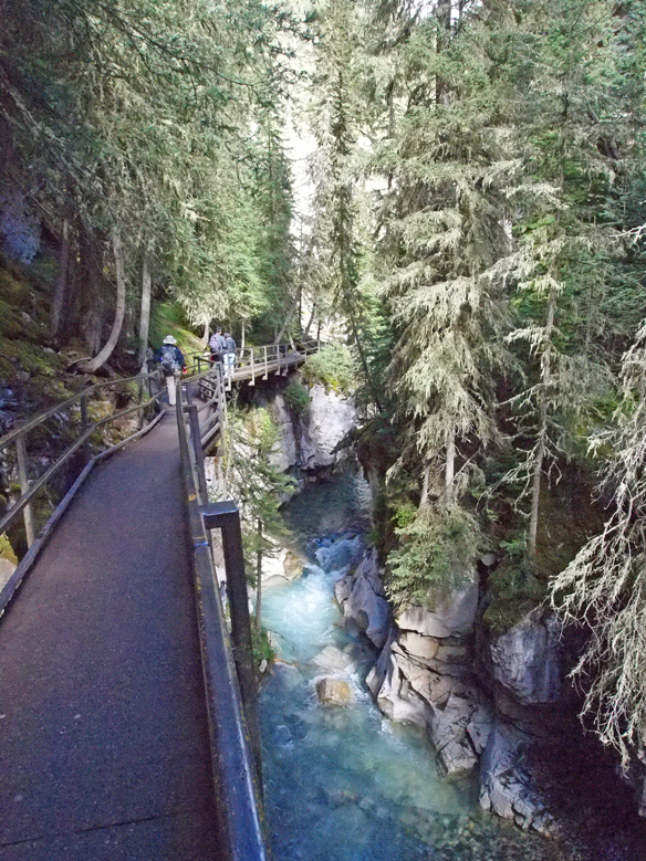
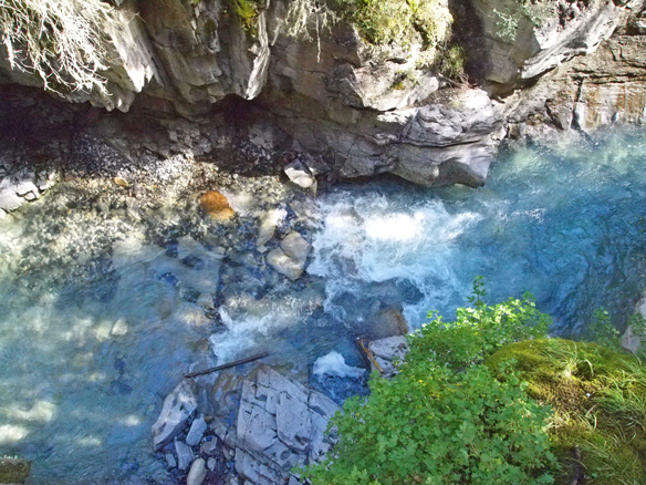
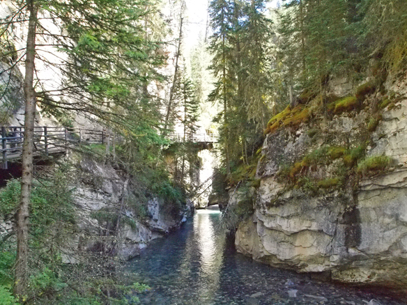
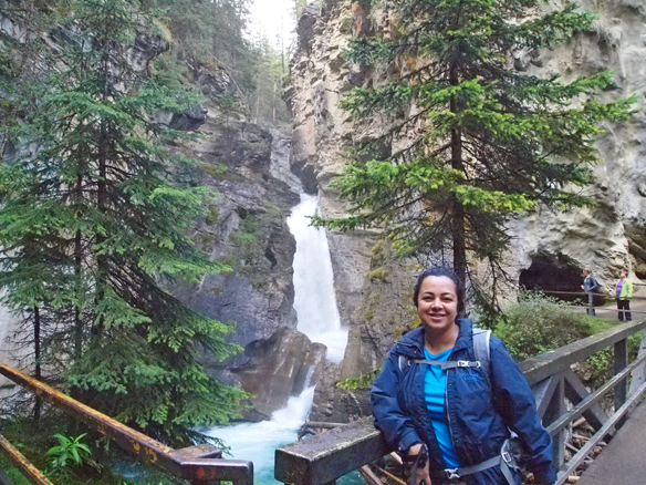
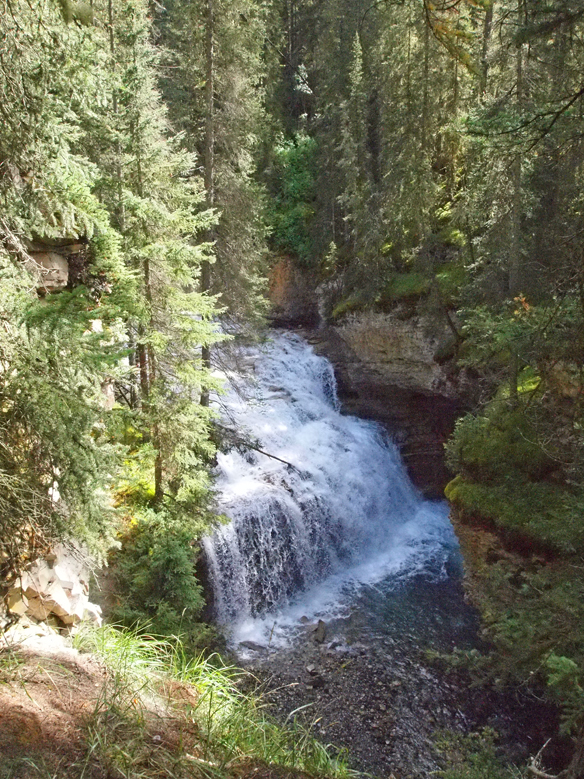
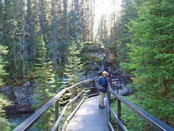
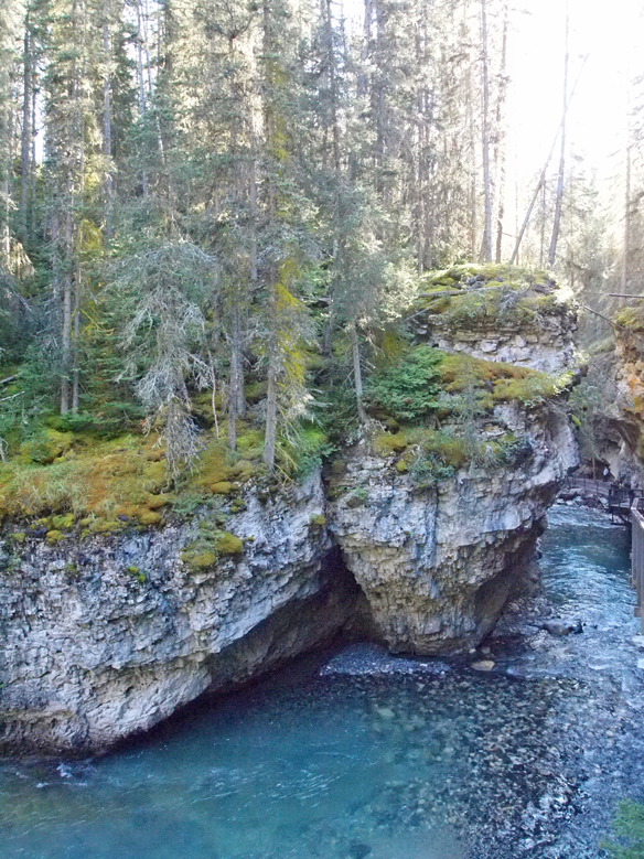
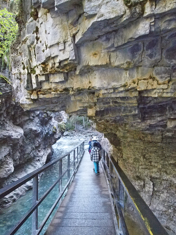
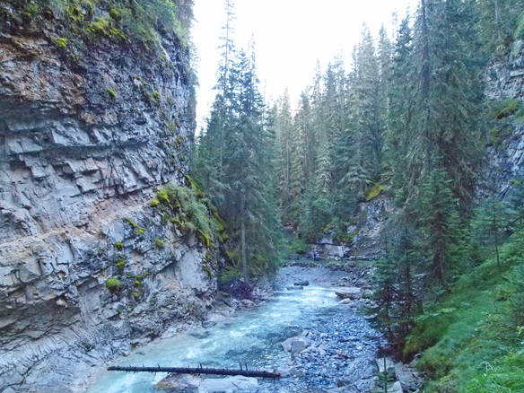
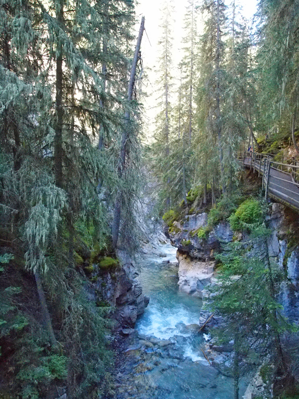
Johnston Canyon itself is impressive, as the creek cuts it way through the rock in a series of rapids and waterfalls. Parks Canada has constructed catwalks through the canyon over Johnston Creek below.
Beyond the canyon, the hike to the Inkpots is rather dull. The trail ascends through the forest and offers little in the way of views, before descending to the Inkpots in an open and very pretty valley. The views at the destination make the dull forest walk worth the effort.
The parking lot was full, so we had to park on the shoulder of the highway and walk up to the trailhead. Following are some photos from along the way.

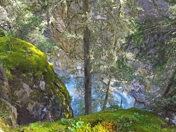
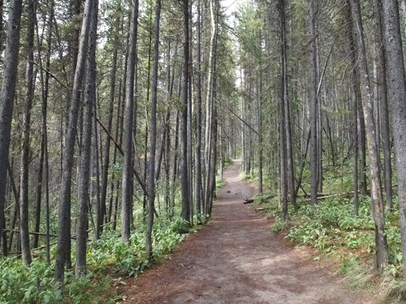
Beyond Johnston Canyon, most of the trail to the Inkpots looked like this.
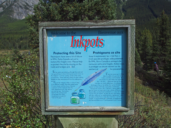
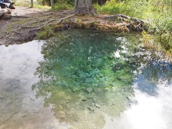
Arriving at the Inkpots.
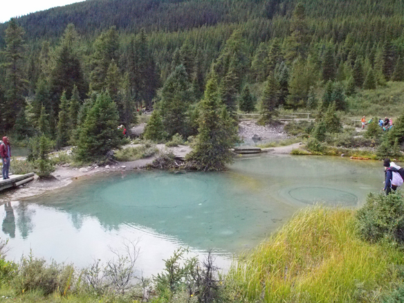
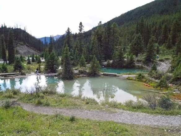
We stopped for lunch below the Inkpots in the valley next to Johnston Creek.
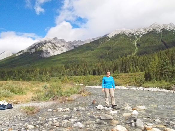
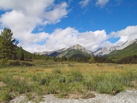 Below is a panoramic video of the valley.
After resting a while in the valley, we started our walk back. At this point, it had started raining lightly on and off.
Below are a few more pictures from Johnston Canyon on the way out.
After getting back to the car, we returned to Banff for dinner and to relax for the evening.
