Day 13 – Antsiranana

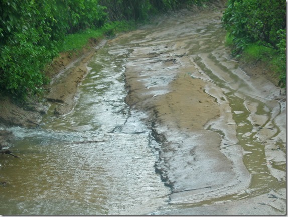
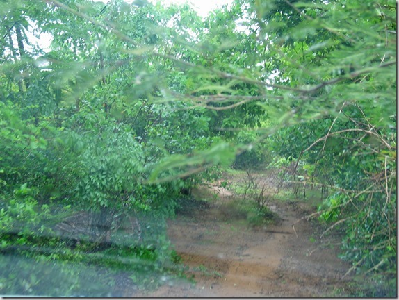
Today we were to visit the 3 bays around the Diego area.  Unfortunately, for the first time in our trip, the weather has altered our plans.  We did go out for a tour, but were not able to do everything we wanted to do because of the rain and the poor roads that resulted from it.

After breakfast on the covered patio by the pool, we set out towards Ramena, northwest of Diego, and here are some photos from the journey.  Here is our truck crossing the first of many road obstacles.
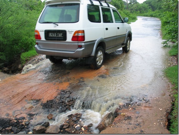
IMG_6312

We were supposed to go out here in a boat.  Obviously, that didn’t happen!
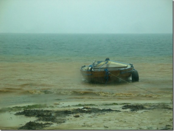
IMG_6318_edited-1

We made it through this obstacle…

IMG_6338_edited-1

This one we had to go around…

IMG_6339_edited-1

Flooded road.  We’re not having much luck here…
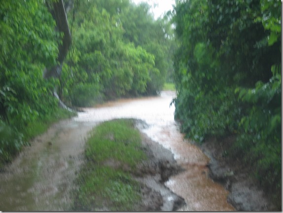
IMG_6342

What is with this road?

IMG_6346_edited-1

Here is our driver walking ahead to see if we can make it…
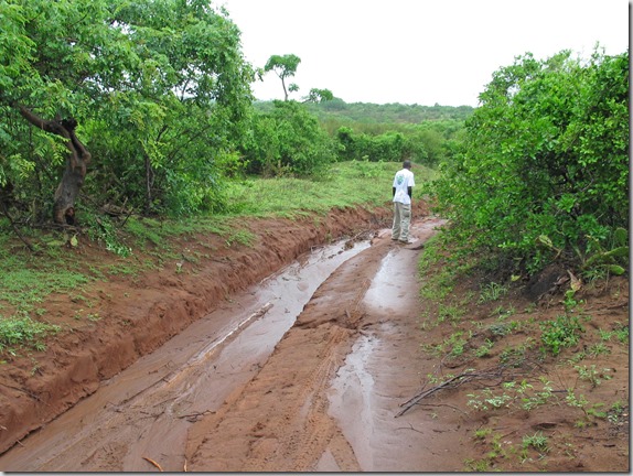
IMG_6349_edited-1

No, we weren’t going to make it.  Here is our chosen alternate route.
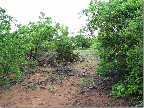
IMG_6351

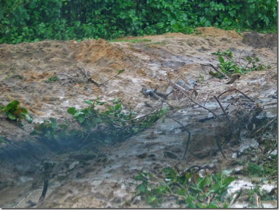
We met this guy coming the other way, stopping to pull the forest off of his truck.
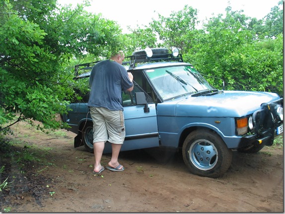
IMG_6355

As we continued, we found some of the previous guy’s window trim left on the trees.
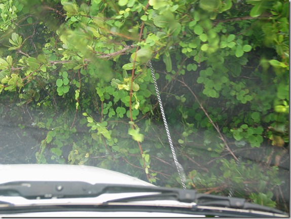
IMG_6361_edited-1

Still trying to get around the blocked road by going this way…

IMG_6364_edited-1

No go.  Now we’ve given up trying to get to the next bay, and are heading back to Diego.

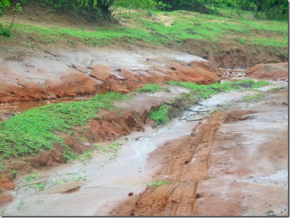
I managed to capture a few short video clips on the return of what this rainy drive is like, and just what these simple dirt roads become with a bit of rain.

Trying to decide which muddy bush route is the lesser of several evils?

Continuing to make our way out…

Going through puddle after puddle…

A bypass through a field around another flooded section…

Continuing to try to make our way out of the maze of mud…

Well, we came in this way, but I guess we’re not getting out this way…
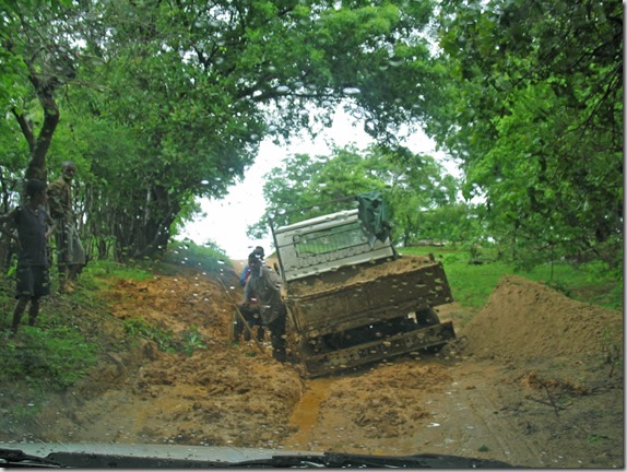
IMG_6377_edited-1

We finally made our way back to the paved road…

Even the paved road has it’s rough bits…

Here’s a volcanic rock beach we passed on the way back.
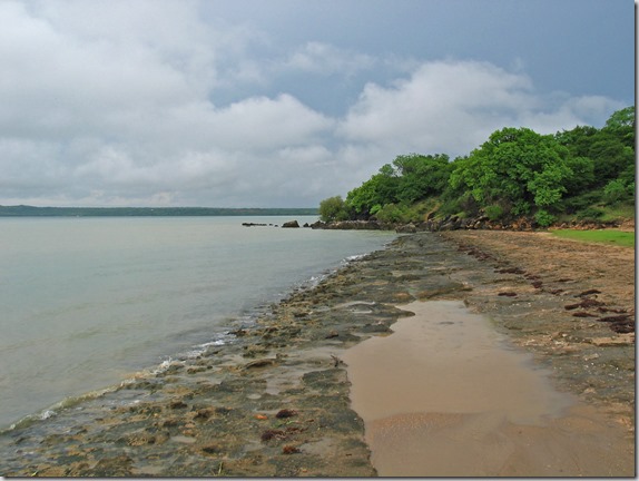
IMG_6388_edited-1

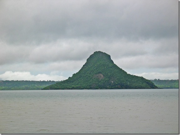
Pain de Sucre or Sugar Loaf…

IMG_6389_edited-1

Before returning to the hotel, Nadine asked the driver if he could take us to an authentic Malagasy restaurant where she could eat some of the foods she remembered.  I didn’t want to take a chance eating anything, but Nadine said it was good.  Here is Nadine and our driver eating lunch.  I just drank the Coca-Cola.
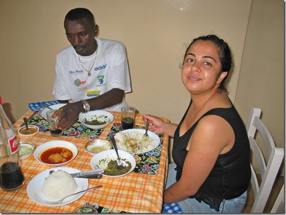
IMG_6400_edited-1

Back at the hotel, we returned to the room to relax.  I finished updating the blog entries up to Dec 28 and uploaded them to the site.  (I won’t write this entry until January 3, and won’t upload it to the site until January 5 when I’m back in Tana and have an internet connection).

In the evening, we had a refreshing swim in the fabulous pool at the hotel before a late dinner.  Today wasn’t the trip we had originally planned, but we did have quite an adventure!

Day 11 – Antsiranana

We awoke early to catch a 9 AM flight from Tana to Antsiranana, also called Diego Suarez for the explorers who discovered the area.  The weather today sucks in Tana.  It’s cold and rainy from the effects of Cyclone Bondo.  However, this is a good thing, as we’re leaving Tana and going to the one area in the country where the skies are clear, because the cyclone has already passed through.

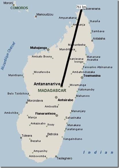
Below is a map showing Antsiranana in the very north of Madagascar.

DiegoMap

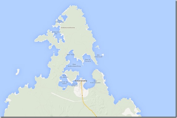
Here is a closer view of the Antsiranana area.

DiegoArea

Antsiranana is a city of about 110,000 in the north of Madagascar.  The climate and landscape is again different from the other areas of the country we have visited so far.  By straight line distance, Diego is about 760 km from Tana.  The map above shows that the city is located on one of 3 very large bays off the Indian Ocean, but is nicely sheltered in a natural harbour.  To give the above map some scale, it’s about 20 km from the port of Diego through the bays and into the open ocean.

Our flight appeared to be about 90% full on a Boeing 737 jet, and would take about 1 hour and 20 minutes.  Looking out the airplane window, everything appears very green and lush.  We are just entering the rainy season now, so if we had arrived a couple months ago, things would have probably looked very different.

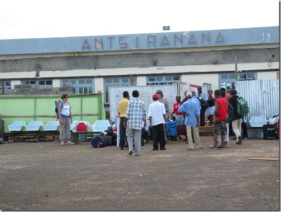
We landed in Antsiranana, and the airport was small.  Actually, the airport was smaller than the airport in Morondava, but this one handles much more traffic!  They are doing renovations, which doesn’t help the overcrowding, but it is badly needed.  Apparently, the airport is being upgraded to be an international airport, with direct flights to neighboring countries as well as a direct flight to Paris.  Below is the entrance to the Antsiranana (Diego) airport (Code: DIE).

IMG_6029

As we arrived in the terminal, we were met by our ride to the hotel.  Unlike prior airport pickups, I was surprised to see an older white gentleman as our ride.  We learned during the ride to the hotel, that we were being picked up personally by the the Director of the hotel.  During the 10 km ride from the airport, he gave us information about the city and all the changes that have happened during the last 4 years under the current President.  Apparently they have paved 1,500 km of roads in the Diego area that were completely impassable just a few years ago, and built 750 new schools in Madagascar with many in the local area.

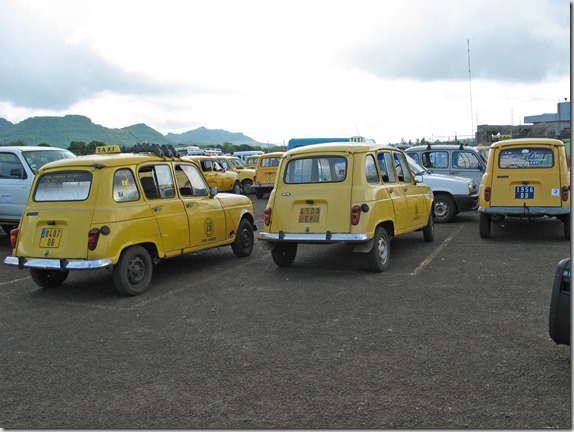
Another observation about the city is they apparently use the Renault 4 for taxis here too.  The only difference is the taxis in Tana are beige and in Diego they are yellow.  Our hotel transfer was in a new Toyota 4X4 SUV, not the Renault 4.

IMG_6032

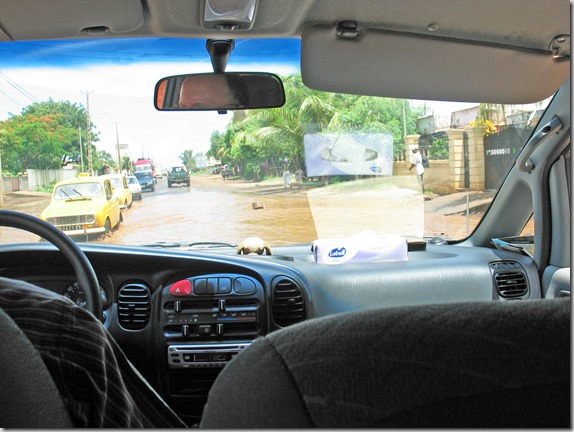
We drove through a few flooded roads on the way to the hotel, likely the result of the cyclone that just passed through, but made it there without a problem.

IMG_6034

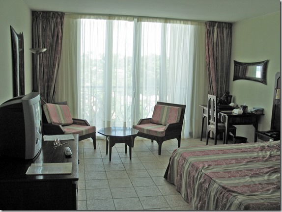
We arrived at the Grand Hotel without incident.  This is a very nice hotel (by Malagasy standards).  The hotel is new and has just about everything.  Very large and comfortable room with a view to the large pool.  Facilities inside the hotel include a bank, spa, tour agency, casino, bakery and a nice restaurant on the pool.

IMG_6044

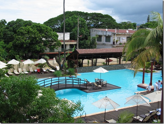
Here is a view of the pool from our room balcony.

IMG_6049

After getting settled in our room that would be home for the next 4 days, we went downstairs to the tour operator to confirm the excursions that we had arranged for the next 2 days.

I was disappointed to learn that we would not be able to visit Cap d’Ambre in the extreme north of Madagascar.  It’s only a distance of 40 km north of the city, but normally takes 4 to 5 hours by 4WD truck to make the trip.  At the moment, the area is completely inaccessible by any vehicle and likely won’t be until May.  Cap d’Ambre is the extreme point of land that separates the Mozambique Channel from the Indian Ocean.  They have just finished rebuilding a lighthouse there that is something like 250 feet high and I wanted to visit it.  I also asked about taking a boat, but apparently that area is not accessible by boat either.  Mariners are advised to stay a minimum of 20 nautical miles off the Cap, which explains why they need such a large lighthouse.  All of this makes me wonder how they managed to build this thing (perhaps by helicopter?) and even more curious to see the place.  Maybe next time.  Anyway, we are all set up with a couple of very good tours for the coming days.

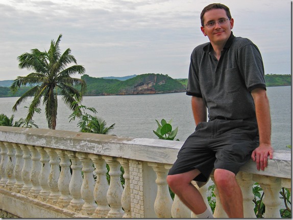
We then headed out on foot to explore the area and do some shopping.  After picking up some souvenirs, we walked down to the end of the main street and found a rather neglected park overlooking the bay.

IMG_6062

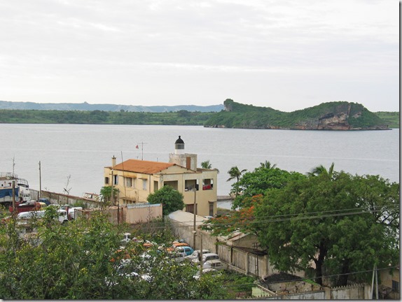
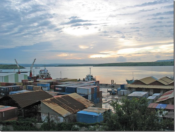
After some more exploring we also found the main port, and I also managed to find a lighthouse that I heard was on top of the office at the port.  I always manage to see at least one lighthouse on every trip.  Unfortunately, the manager, who was not very friendly, would not let us in for a closer look.

IMG_6067

IMG_6065

By this point, we were getting tired and decided to walk back to the hotel for the night.  Our excursion the next morning was leaving at 7:30 AM.

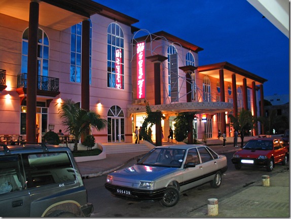
Arriving back at the hotel, I took this picture of the front of the hotel by night.

IMG_6079