Now that the bad weather seems to have passed, it was time to get up for an early breakfast and get out on the hiking trail. The plan today was to head up the Lake Agnes trail and branch off shortly after Mirror Lake to hike up Mt. St. Piran, as well as a short side trip to the Little Beehive on the way.
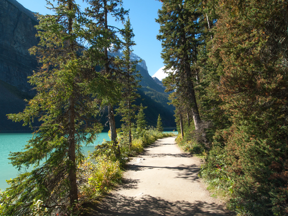
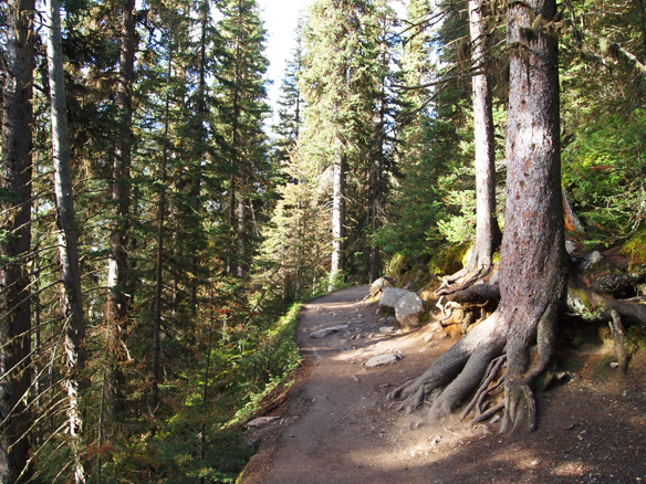
Here we are heading up the familiar Lake Agnes trail.
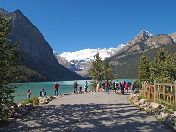
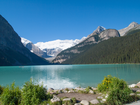
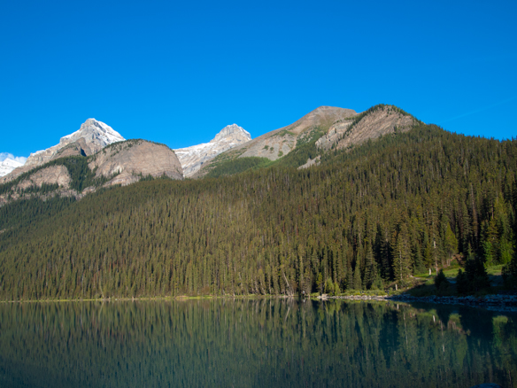
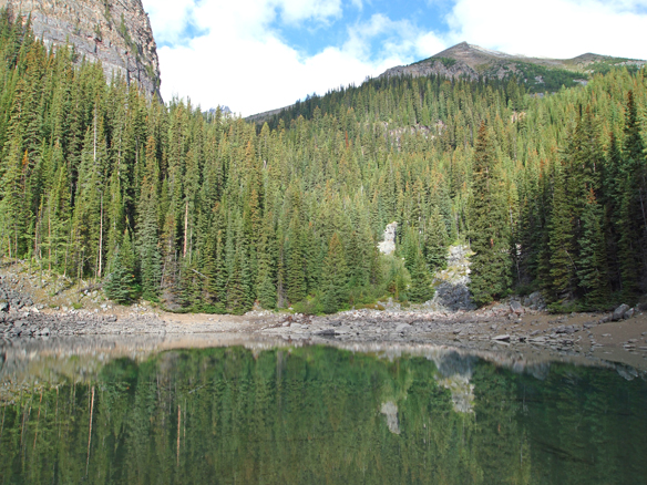
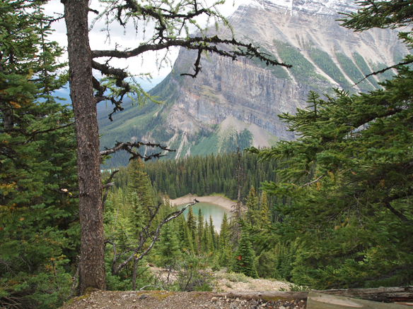
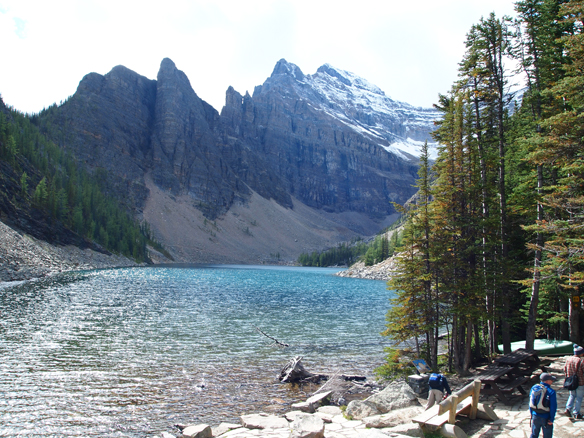
We continued along the trail until reaching Mirror Lake. I won’t post too many photos of this section, since I have posted similar images on past trips along this trail.
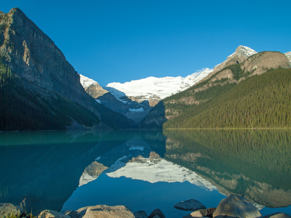
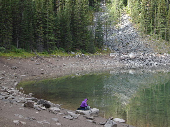
Here we are at Mirror Lake, where the water level is (expectedly) much lower than when we were here in the spring.
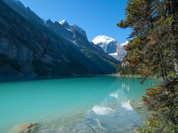
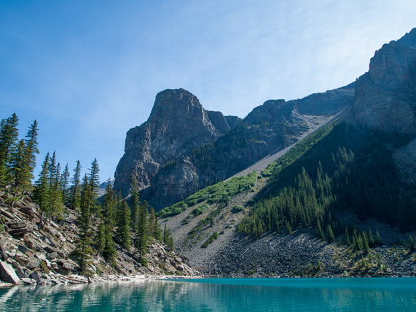
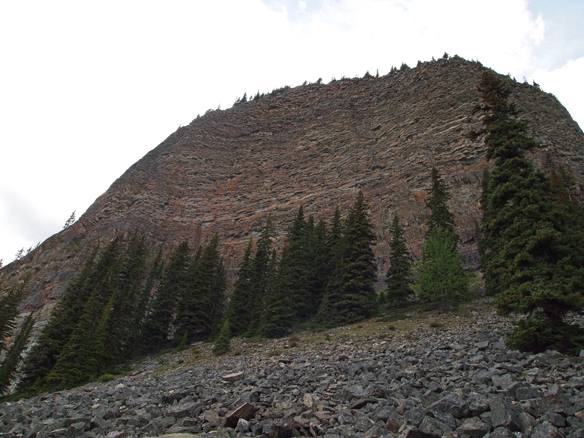
Above is a view to our destination, Mt. St. Piran.
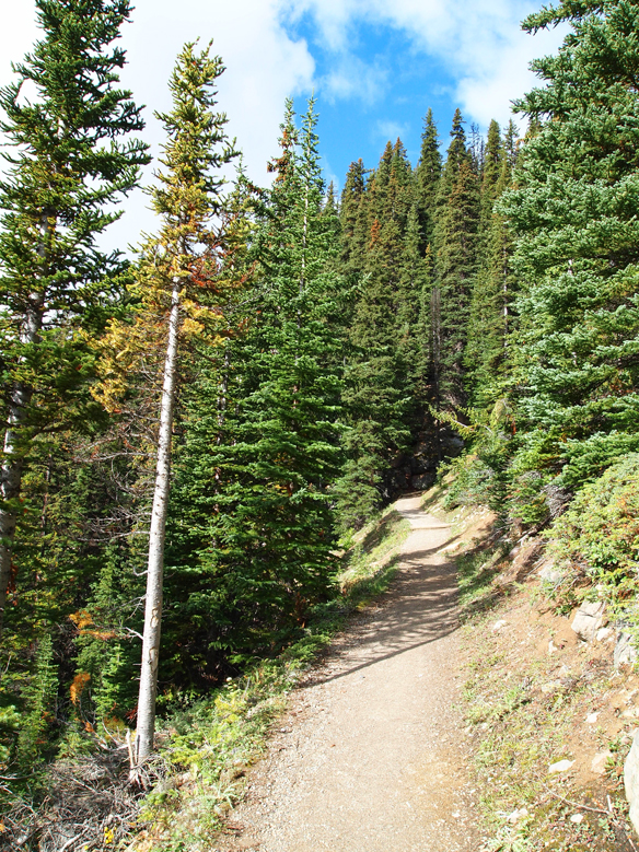
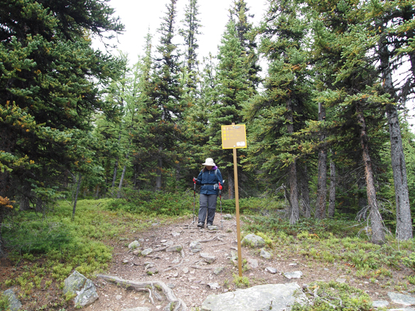
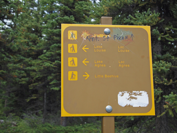
Shortly past Mirror Lake, we left the Lake Agnes trail and branched off on the trail to the Little Beehive.
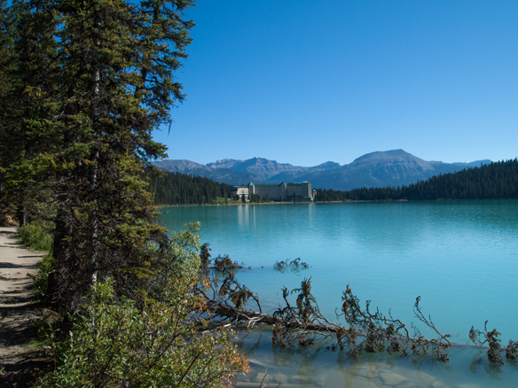
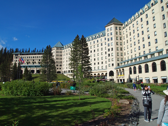
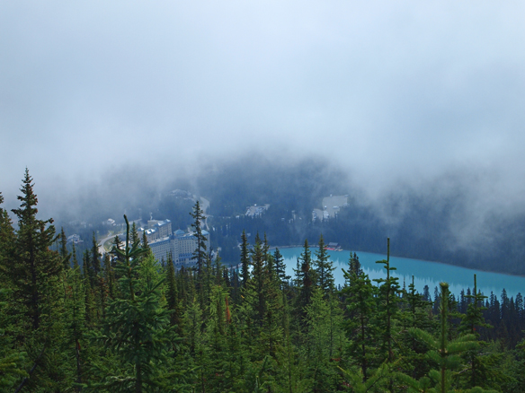
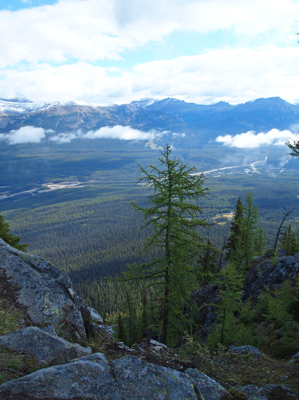
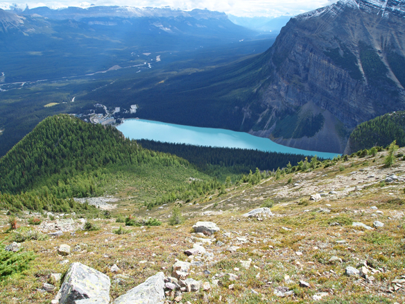
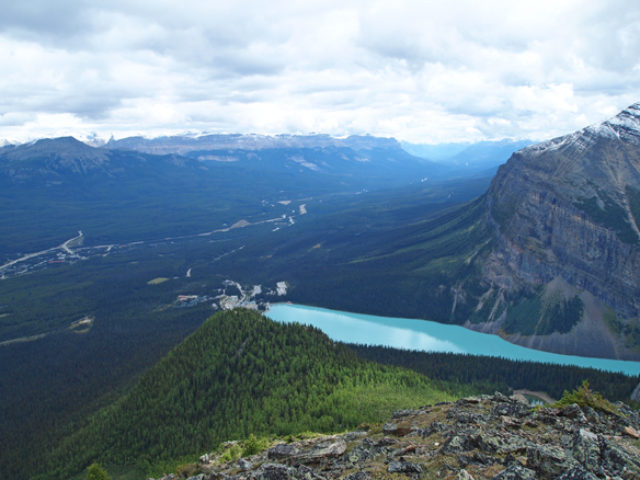
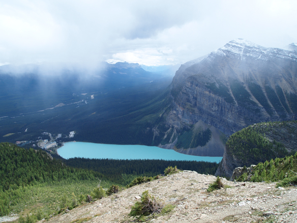
At this point, we could see clouds starting to roll in to the valleys. Below is a glimpse down at Lake Louise and the Chateau just below the cloud cover.
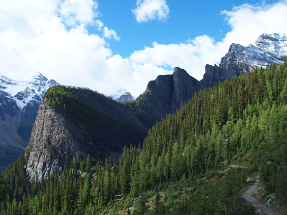
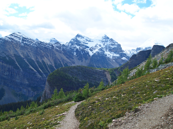
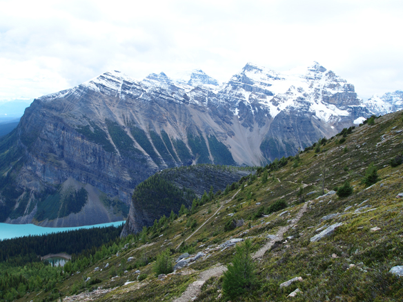
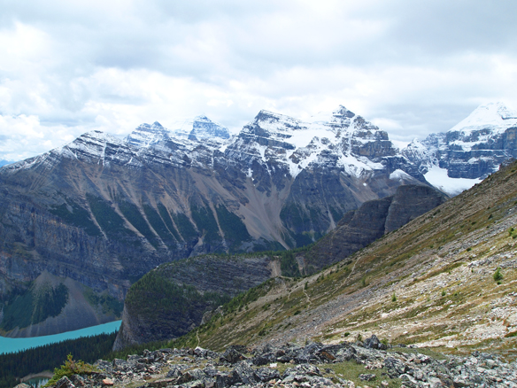
Looking back toward Lake Agnes, we can see the snowy peak of Mt. Whyte on the far right, the Devil’s Thumb below it, and the Big Beehive below that. Across the valley on the other side of Lake Louise we can see Mt. Aberdeen on the far left and a piece of Mt. Lefroy peeking up between the Devil’s Thumb and the Big Beehive.
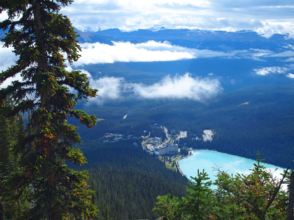
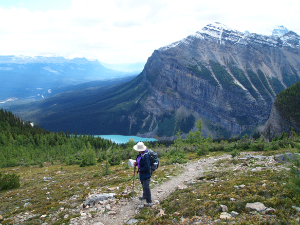
Now at the Little Beehive, we have several views down toward Lake Louise into the Bow Valley.
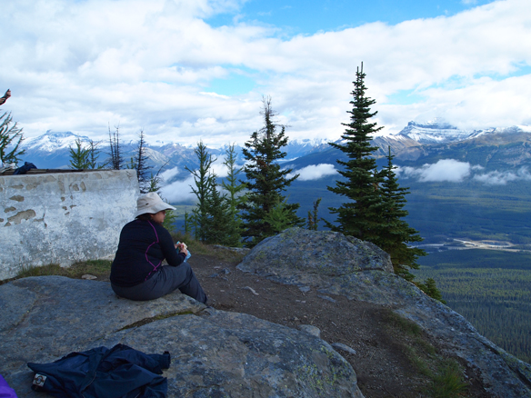
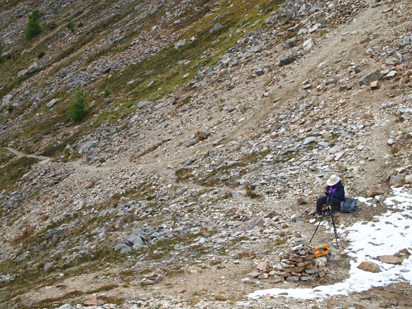
 We stopped for a bite to eat at the end of the Little Beehive next to the foundation of an old fire watchtower.
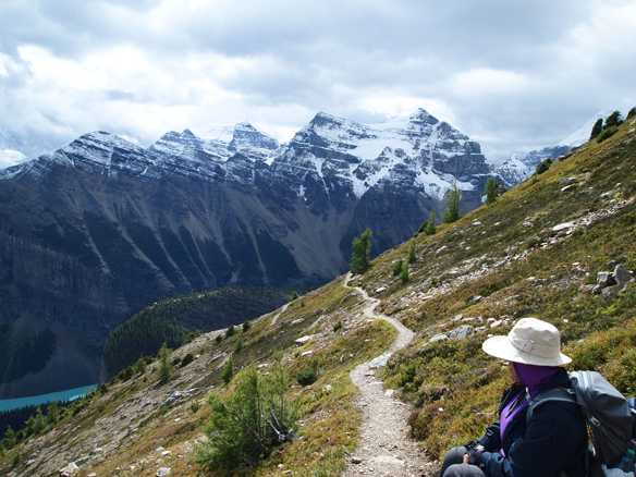
We turned around to go back down the trail off the Little Beehive, and then branch off on the trail up to the top of Mt. St. Piran.
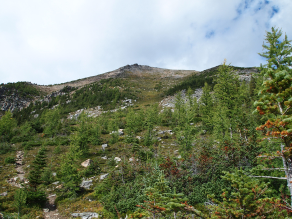
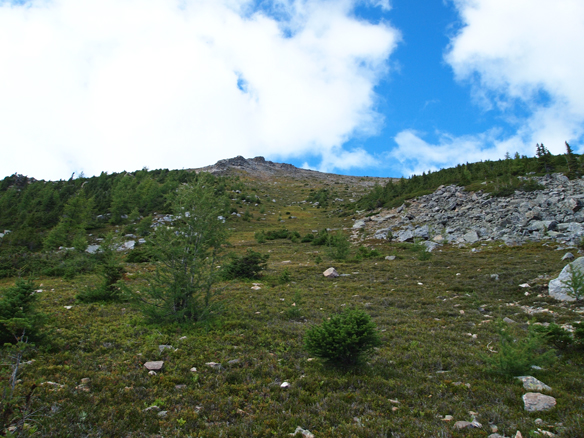
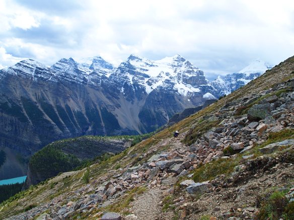
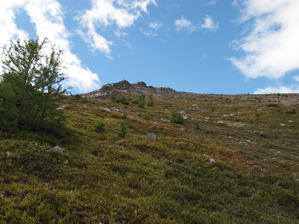
Once the forest thins and we enter the subalpine area, we get a look up at our destination. Even though we’ve come a long way, our target is still roughly 900 to 1,000 feet above us. At least we’re past the half-way point!
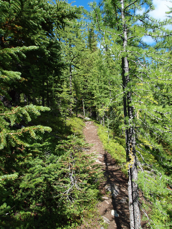
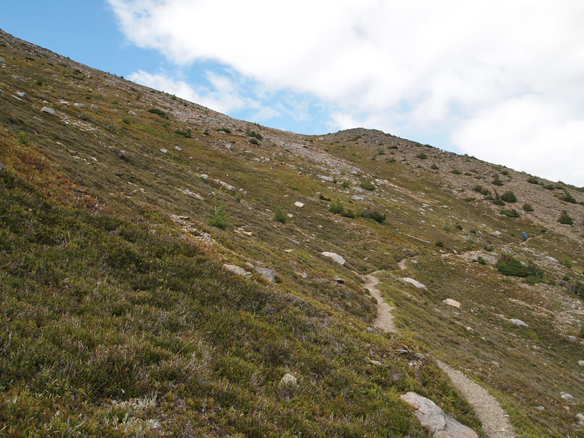
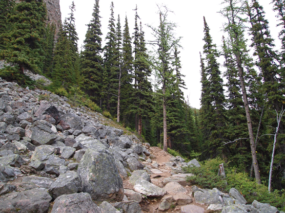
The trail switchbacks across the slope as it ascends.
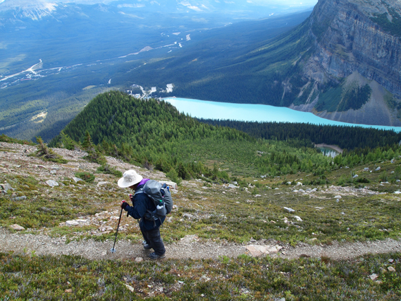
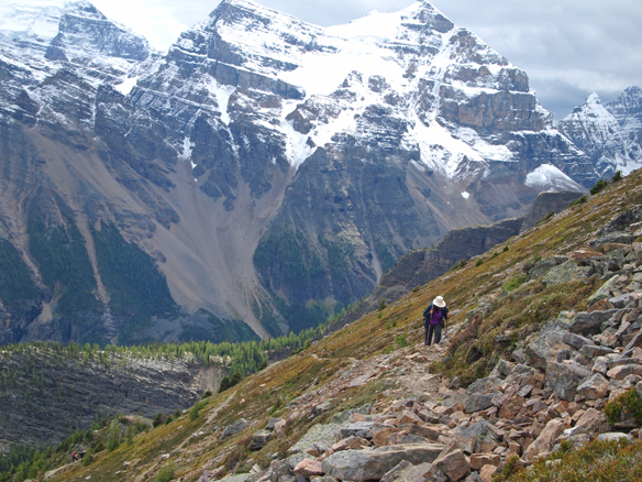
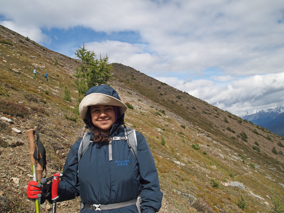
Below is Nadine on one of the switchbacks. You can see the Little Beehive bump in the left-centre of the photograph, where we hiked to earlier and had our lunch.
Stopping for a rest, but getting close to the top.
It gets a little dizzying at times when looking back down the slope.
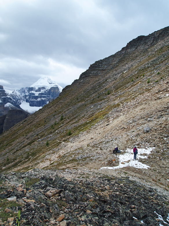
We made it to a ridge connecting a small sub peak to the primary peak and the wind picked up considerably. This is where I set my pack down (and unfortunately stopped recording GPS tracks) and walked up to the sub peak. Yes, that is my camera tripod set up on the ridge by the snow next to Nadine, and I’m not sure that lugging it up 2,650 feet was the smartest thing I’ve ever done, as it takes up a fair amount of backpack space and adds a bit of weight.
Nadine is resting on the ridge with another hiker we met on the trail. She was waiting on the ridge while her husband had hiked up the final switchback to the peak. Other than that couple, we pretty much had the mountain to ourselves.
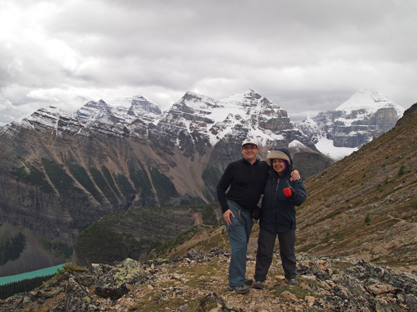
Here are Nadine and I on the sub peak. I guess carrying the tripod around wasn’t a total waste of energy!
At this point, I took a short panoramic video from the top.
As I was finishing the video, I could see a snow storm quickly moving in on us. Clearly, the nice weather that we had in the morning had been forced out, and we were about to be forced off the mountain, or at least off of the ridge. We walked back down off the little peak to the ridge, where Nadine quickly filmed this short video. We were about to have our plans altered by mother nature.
Our original plan was to continue up to the peak (which was only about another 300 meters along two more switchbacks–probably 15 minutes at the most), and then descend over the other side toward the col between Mt. St. Piran and Mt. Niblock, and hike down the rocky back slope to Lake Agnes. Considering that the storm was blowing in from that side of the mountain, the only smart descent route was back down the one we ascended, where the mountain should block the storm once we get down off the ridge.
Sure enough, after heading back down a little, it got much more pleasant.
We continued down the mountain, giving up the altitude we worked all morning to attain.
We kept moving down, out of the alpine, and eventually back to the Little Beehive trail.
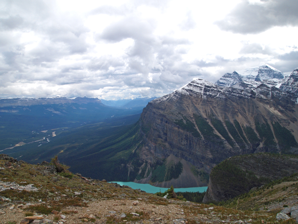
Below we are looking down at Mirror Lake as we head toward Lake Agnes from above.
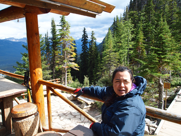
After reaching Lake Agnes, the solitude we found on Mt. St. Piran was gone, and there were crowds milling about the teahouse. We decided to fight the crowds and go in for a hot cup of tea and some dessert. It was still windy and cold here, as the storm that was hitting us on the top, was blowing over the ridge between Mt. St. Piran and Mt. Niblock and across Lake Agnes. As much as I would have liked to hike down the back side of the mountain, it likely would have been a very cold and blustery hike.
After a nice rest at the teahouse, we headed back to the hotel. We crossed to the other side of Lake Agnes and descended past the bottom of the Big Beehive to Mirror Lake and down to Lake Louise.
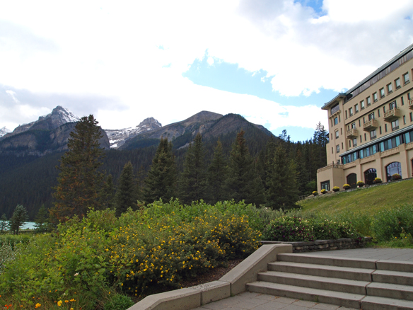
Here we are back at the hotel, and we’re ready to soak our feet in a hot bath. Before going in, I snapped this photo of the area of our wonderful hike.
Returning to our room, it was a nice welcome to see a pile of chocolates left for us by the housekeeping staff!

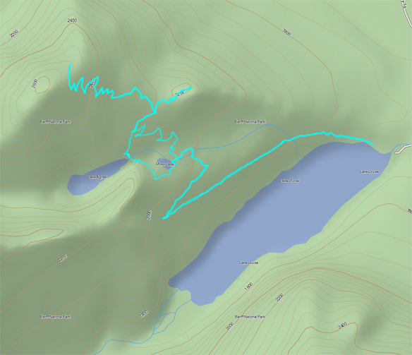
I always find it interesting to analyze the GPS tracks that we record during our hikes. As I have done on previous hikes, below are our tracks overlaid on a simple topographic map of the area. We actually went slightly higher up than what the tracks depict, but I set my backpack down (and therefore my GPS) on the ridge before walking up the last little bit.
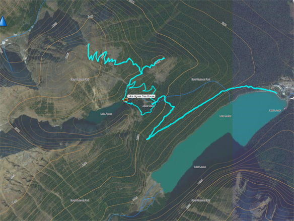
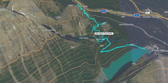
The next image shows the same GPS tracks overlaid on a satellite image of the area.
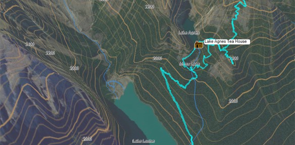
And because I believe that flat maps just don’t do justice to the area, below are our GPS tracks overlaid on a 3D rendering of a satellite image of the area using the contour information of the topographic map. Both of these maps are done from the perspective of someone looking toward Mt. St. Piran from the opposite side of Lake Louise–the first from the area of Mt. Aberdeen and the second map from behind and above the Chateau Lake Louise.
Shown below is an elevation plot of the hike. I’ve added vertical lines to note the various points of reference along the trail. The two horizontal lines offer a point of reference to the elevation of some other popular hiking spots in the valley.
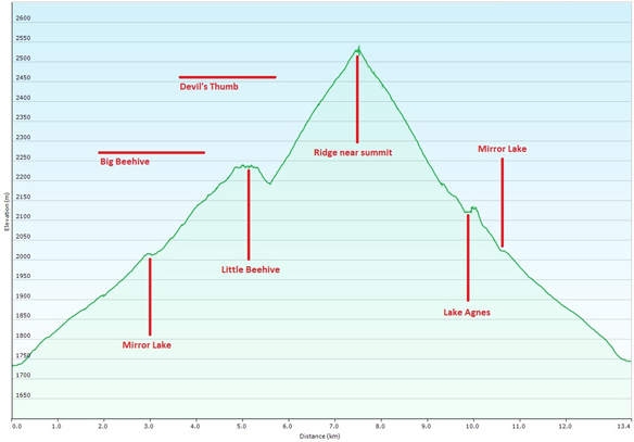
In total, the hike covered 13.4 km. We started at an elevation of 5,675 feet at Lake Louise and reached a maximum elevation of 8,325 feet, for a total gain of 2,650 feet.