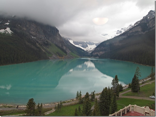
It was time to pack up and check out of the Chateau Lake Louise and head to Banff. Looking out the windows of our suite, it was obvious that the nice weather we had a couple of days ago was gone. Thick clouds have set in, creating the eerie scene in the photo below. Even under thick cloud, the area is still beautiful.
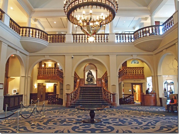
After packing up the car, we took another walk around the hotel and waterfront before heading out. Below is the lobby of the Fairmont Chateau Lake Louise.
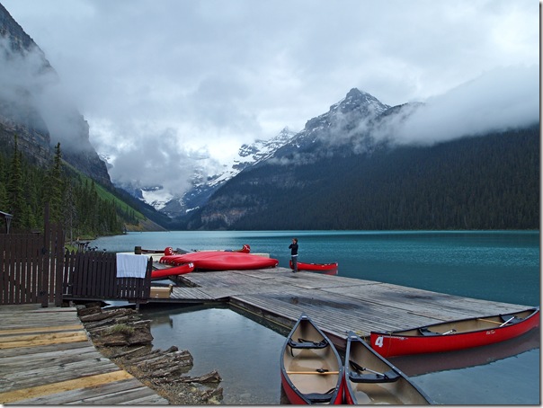
Walking around outside, even the canoe rental dock was still busy in the cloudy weather, with several people milling about and a few canoes out on the lake.
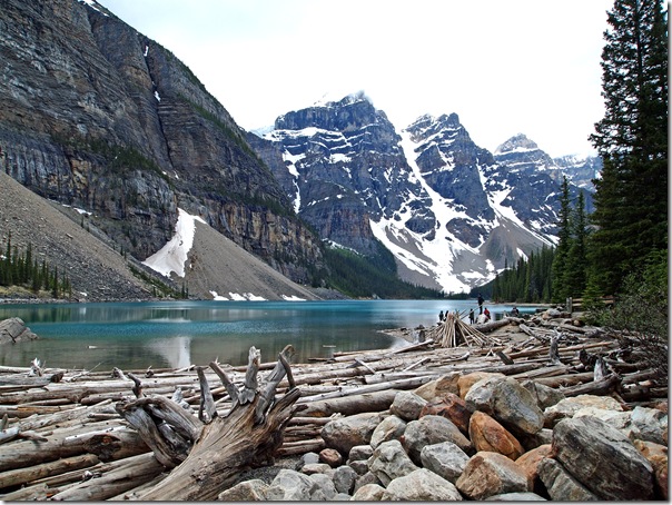
Before driving down to Banff, we returned to Moraine Lake for a quick stop. We stopped here last year and climbed the rock pile. This year, we thought we’d walk the shoreline of the famous lake.
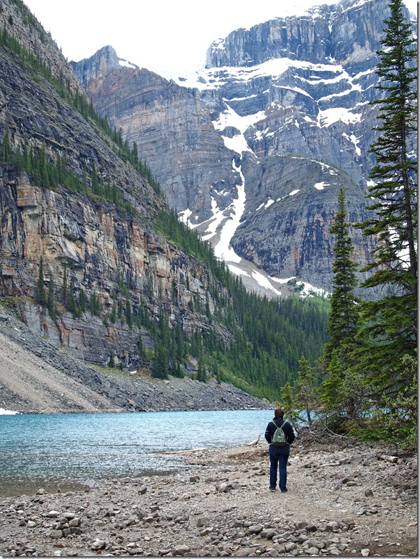
Here, Nadine is taking the hard way across a creek. I used the bridge.
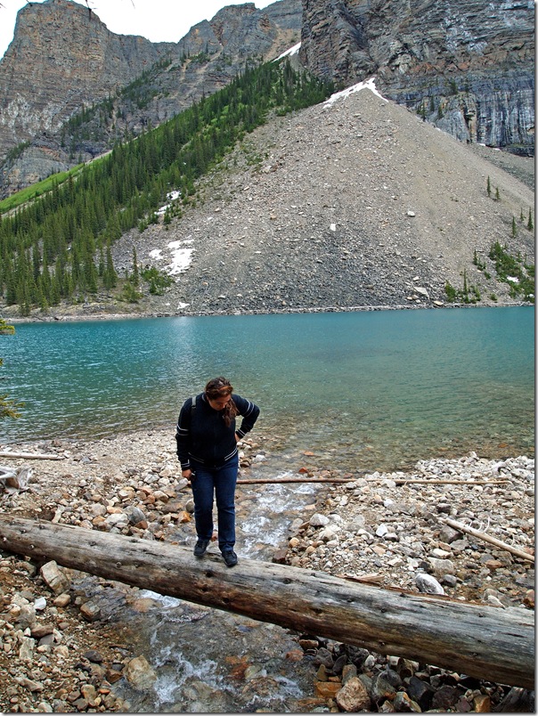
Moraine Lake maintains a blue colour through the season, unlike Lake Louise which offers a series of shades of green. The water supplying Moraine Lake doesn’t contain the same amount of rock flour as Lake Louise (which gives the green colour), which is ground away from the surrounding glaciers.
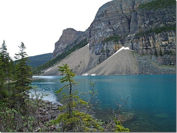
Now at the end of the lake, this is about as far as we can go.
Leaving Moraine Lake for Banff, we were treated to a very nice surprise. As we turned on to Lake Louise Drive from Moraine Lake Road, this grizzly bear was grazing at the side of the road! This is the closest we have ever been to a live grizzly bear in the wild.
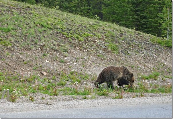
I captured a quick video of the grizzly through the car window.
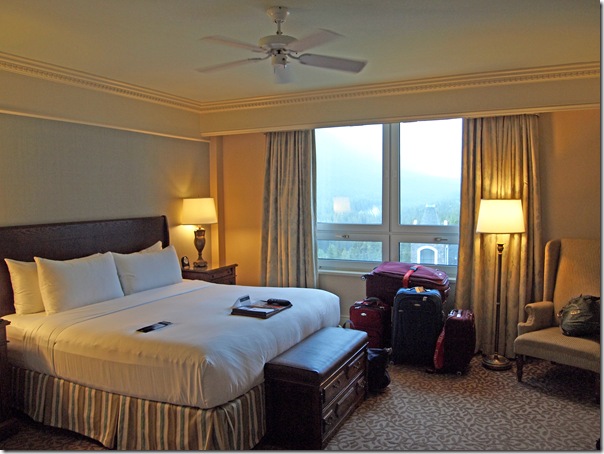
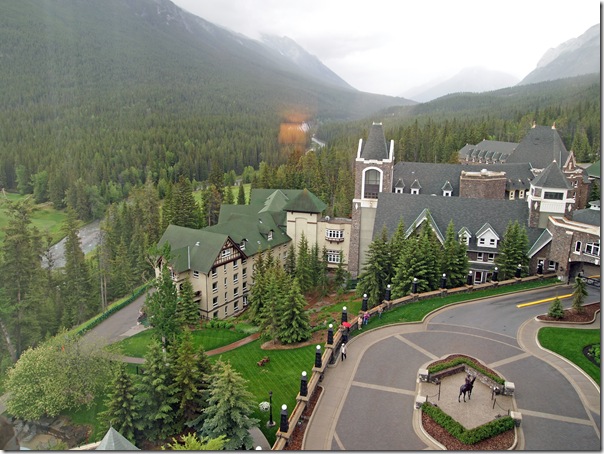
Arriving in Banff, we returned to the Fairmont Banff Springs Hotel. We left the car with the valet and checked in to our room. We have a very big and nice 1 bedroom suite. It even has a walk-in closet! While not quite as updated as our room at the Chateau Lake Louise, it is certainly larger. Below is a photo of the bedroom.
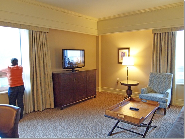
Here is the living room.
Looking out one of the living room windows, we’re treated to a great view down the Bow River and the golf course.
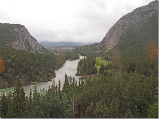
Looking out a different window, we have a nice view looking down the Spray River.
With rain now starting to fall, we decided to have dinner at the hotel instead of heading into one of the many restaurants in town. Looking for a nice relaxed meal, we went to the Waldhaus Pub so Nadine could have some fondue while I had a nice burger.
Day 3 – Lake Louise Area
The weather today was mostly overcast, so we are glad that we did our big hike yesterday when the sun was shining. At least it’s not raining!
Today, we started with breakfast at the Lake Louise shoreline before heading out to see some local attractions.
We drove about 15 minutes west into British Columbia to the Kicking Horse Pass to see the CPR Spiral Tunnels. Basically, when the CPR was trying to get the railway across the Kicking Horse Pass, the railway had to ascend too much elevation over too short a distance. The narrow valley and high mountains limited the amount of area available for the railway to spread out to reduce the steepness of the track. The solution was to build a series of spiral tunnels into the mountain sides. Very cool feat of engineering, especially when you consider how long ago this was built!
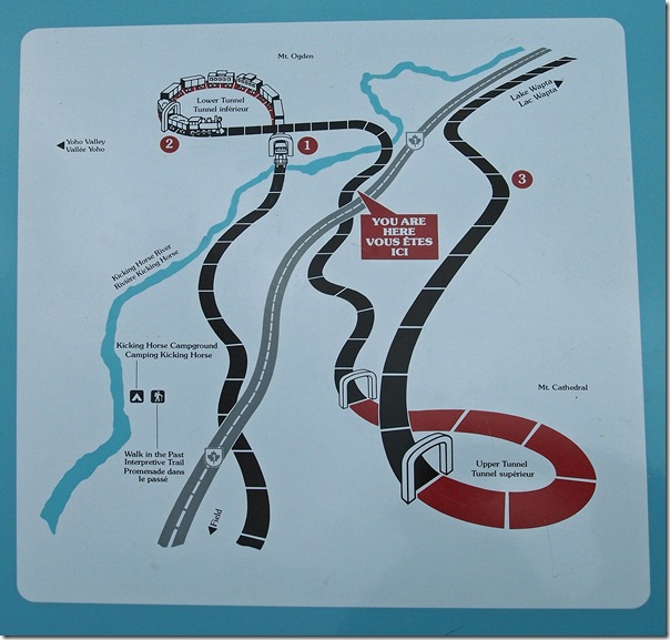
We drove out to a viewing area to see the Upper Spiral Tunnels, and were lucky enough to see a train pass through while we were there. In the video and photo below, you will see the train enter one end of the tunnel and exit in the other direction through the other opening. The loud sound you hear in the background of the video is the rushing water of the Kicking Horse River below.
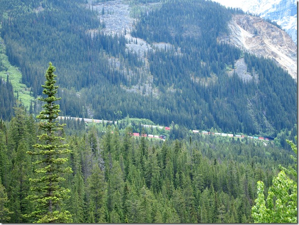
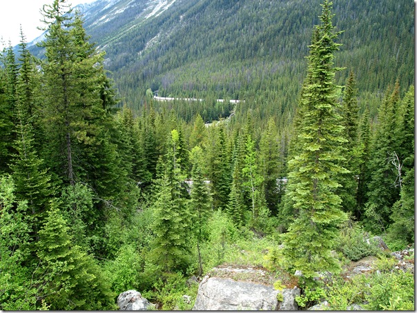
After watching the train pass, we returned to the car to head back to Lake Louise. But as we were leaving, we noticed a second train coming up the valley. So instead of heading straight back to Lake Louise, we quickly headed up the highway to the Lower Spiral Tunnels viewpoint to watch it pass through there. On particularly long trains, you are able to see the same train in three different places simultaneously at the Lower Spiral Tunnels—first as it passes through the lower tunnel, second as it emerges from the upper end of the tunnel, and third as the train crosses the river and turns back toward the Upper Spiral Tunnels to complete another loop.
We then returned to Lake Louise to visit the ski area to ride the gondola up the mountain. We had heard that this is one of the best places in the area for spotting grizzly bears.
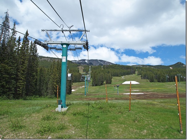
Here’s a photo looking out toward Lake Louise from the viewing area at the top of the gondola. I’m sure it would look much nicer on a clear day!
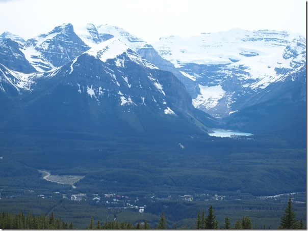
We visited the wildlife interpretation center at the top of the mountain, and then returned to the gondola for the ride back down. Along the way, we did spot a grizzly bear!
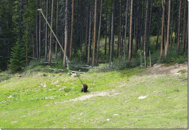
Here are a few other photos from the ride.
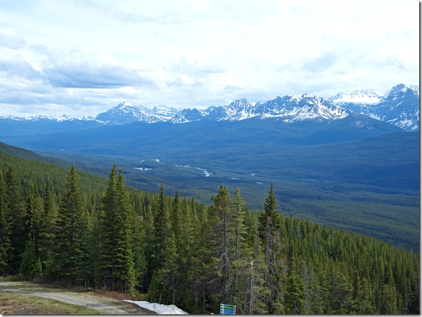
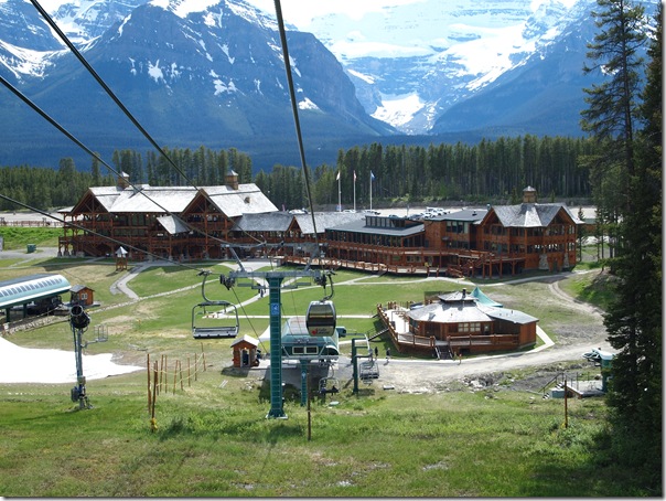
After reaching the base lodge, we headed into Lake Louise village for some dinner. and then back to the Fairmont Chateau Lake Louise for the evening.
Day 2B – Hiking Maps
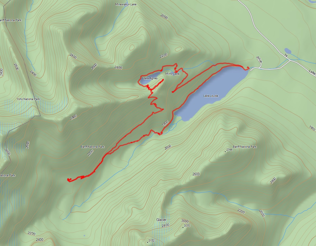
After returning home from our hike, I downloaded the hiking tracks from our GPS. Below are some maps of where we hiked.
I’ve posted our GPS track files here for anyone who wants to import them into their own device for route planning.
Below is our track overlaid on a topographic map of the area.
Here are the same tracks overlaid on a satellite photo of the area.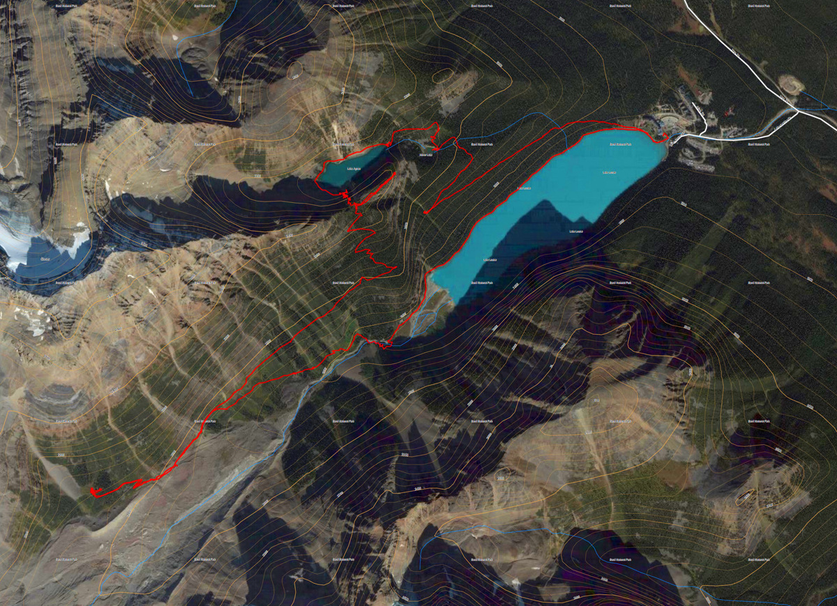
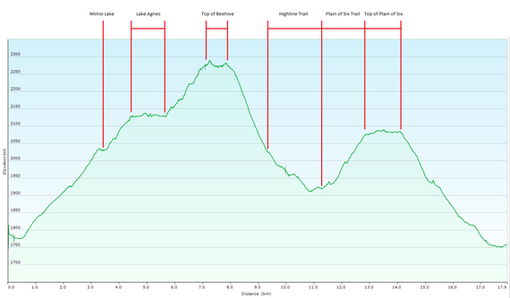
Below is an elevation plot of our hike. I’ve marked where we were at each section in the diagram. The highest elevation reached was 2,289 meters (7,509 ft), which was in the middle of the top of the Big Beehive. The lowest elevation was 1,750 meters (5,741 ft), which was at Lake Louise.
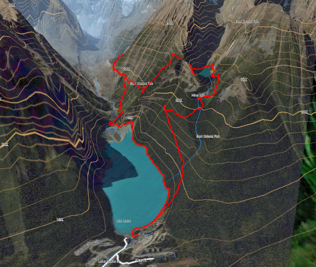
And just because I’m having fun playing with my navigation software, below is a 3D rendering of the satellite image, using the topographic map contours with our track overlaid. This shot is looking W SW from above and behind the Chateau Lake Louise.
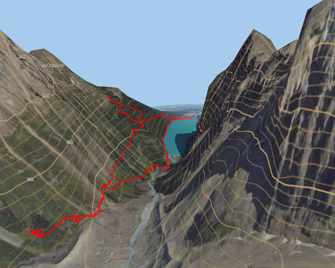
Here’s another 3D image, from the perspective of someone standing near the base of Mount Lefroy.
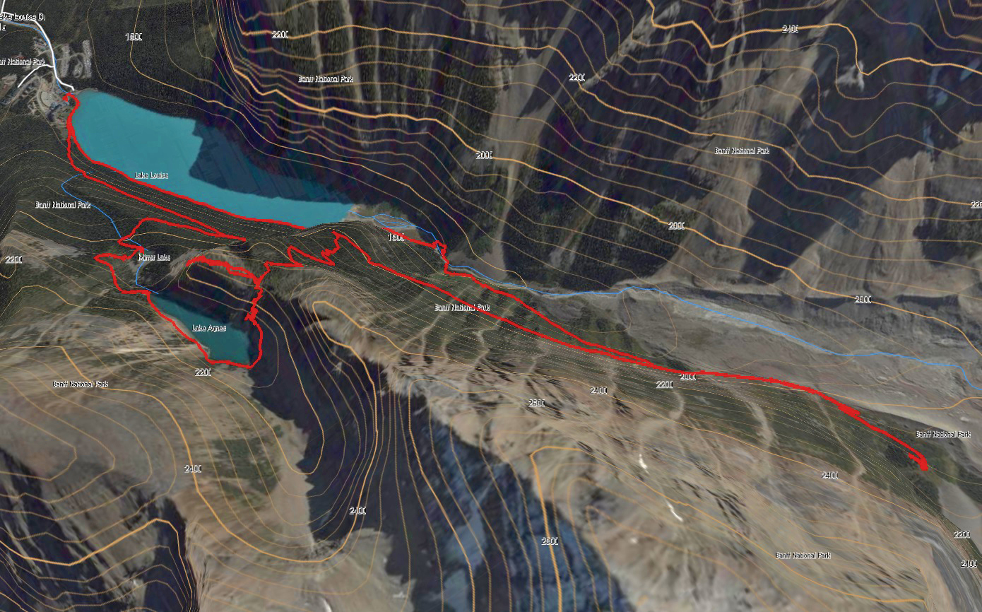
The image below is looking south from above Mt. Whyte. This image gives an interesting perspective, as you can see the trail gently contour up the mountain side above Lake Louise to Lake Agnes, then around the back of the lake and up the switchbacks to the Big Beehive. Before switch-backing back down the south slope to the Highline Trail, you can see the Devil’s Thumb protruding above. Flat maps just don’t do a great job of describing this hike.
If anyone is interested in any other perspectives of the area, send me a note or leave a comment and I’ll see what I can do.
